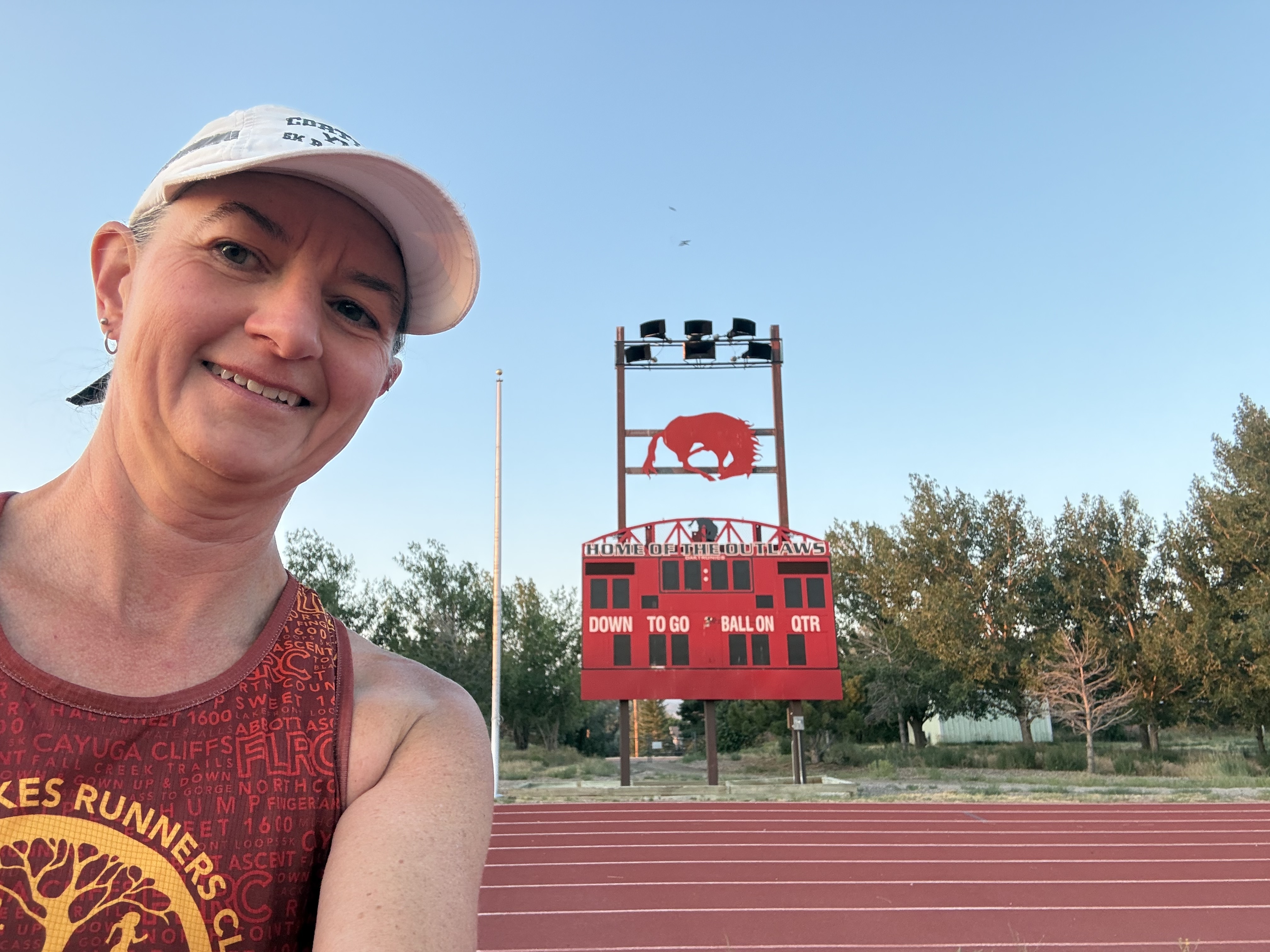
Congrats Patrick! You just recorded a Sweet 1600 on the 100th track venue on my map. FLRC Challenge Sweet 1600 Track Venues - Google My Maps
2 Likes
Hey Pete, it looks like you still need to add my Incline Village HS Sweet 1600 in Nevada to your map
Sorry, I must have missed that one. It’s added now.
Story
@AdrianKresock still needed a Sweet 1600 for his Personal Challenge but for some reason he’s now averse to running on a track. He was excited though when I pitched him on doing this at the Cornell Equine Park track. He, @JoelKresock and I had a nice two-lap run/walk around the hours track while Adrian kept saying “This one is so easy!” I guess after the last several, which are longer and mainly off-road, he had a good point.
After complaints of being tired for some of the first loop, Joel took off on the bell lap and run the second lap at a steady pace while Adrian I walked until the final 100m.
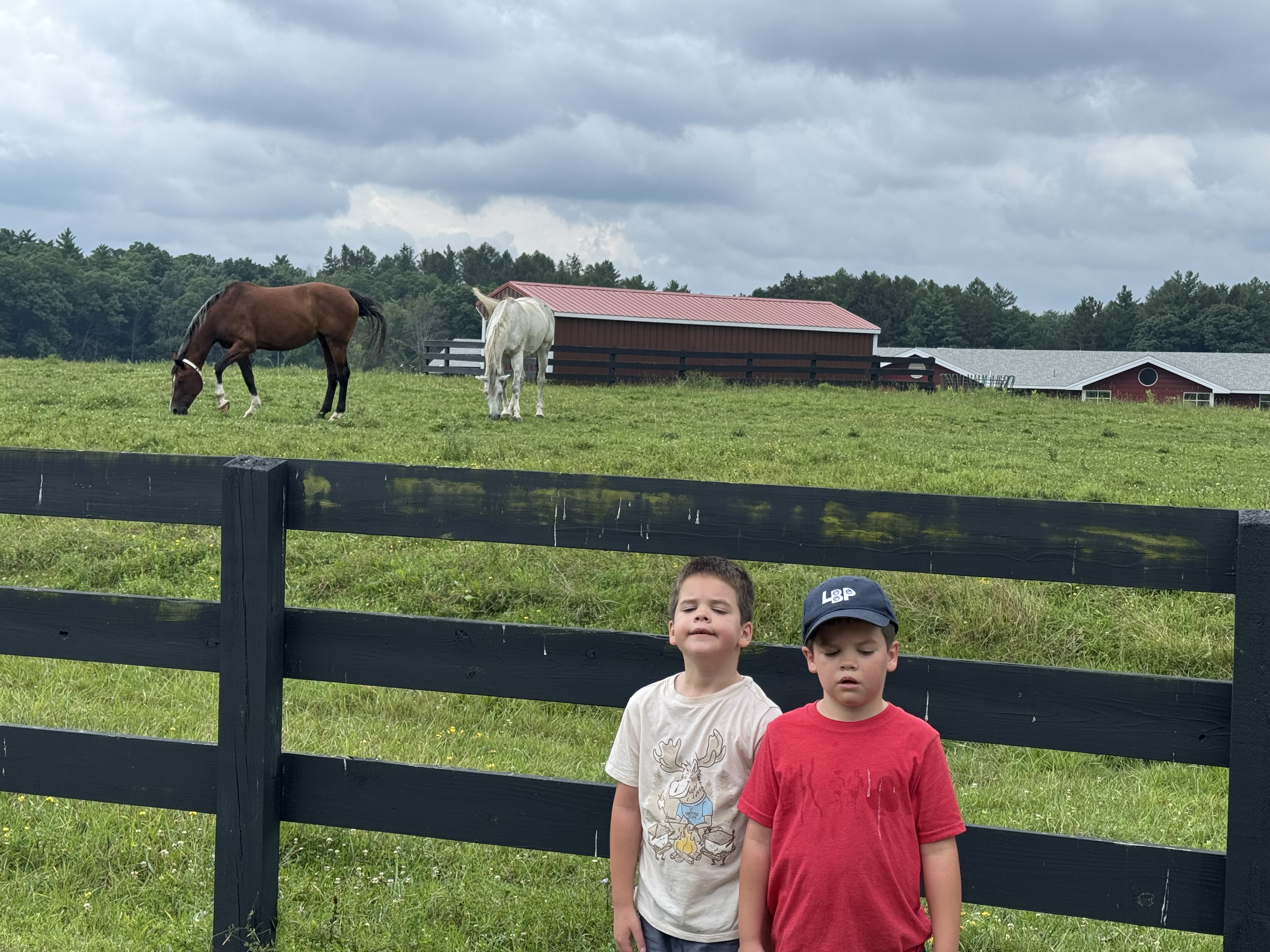
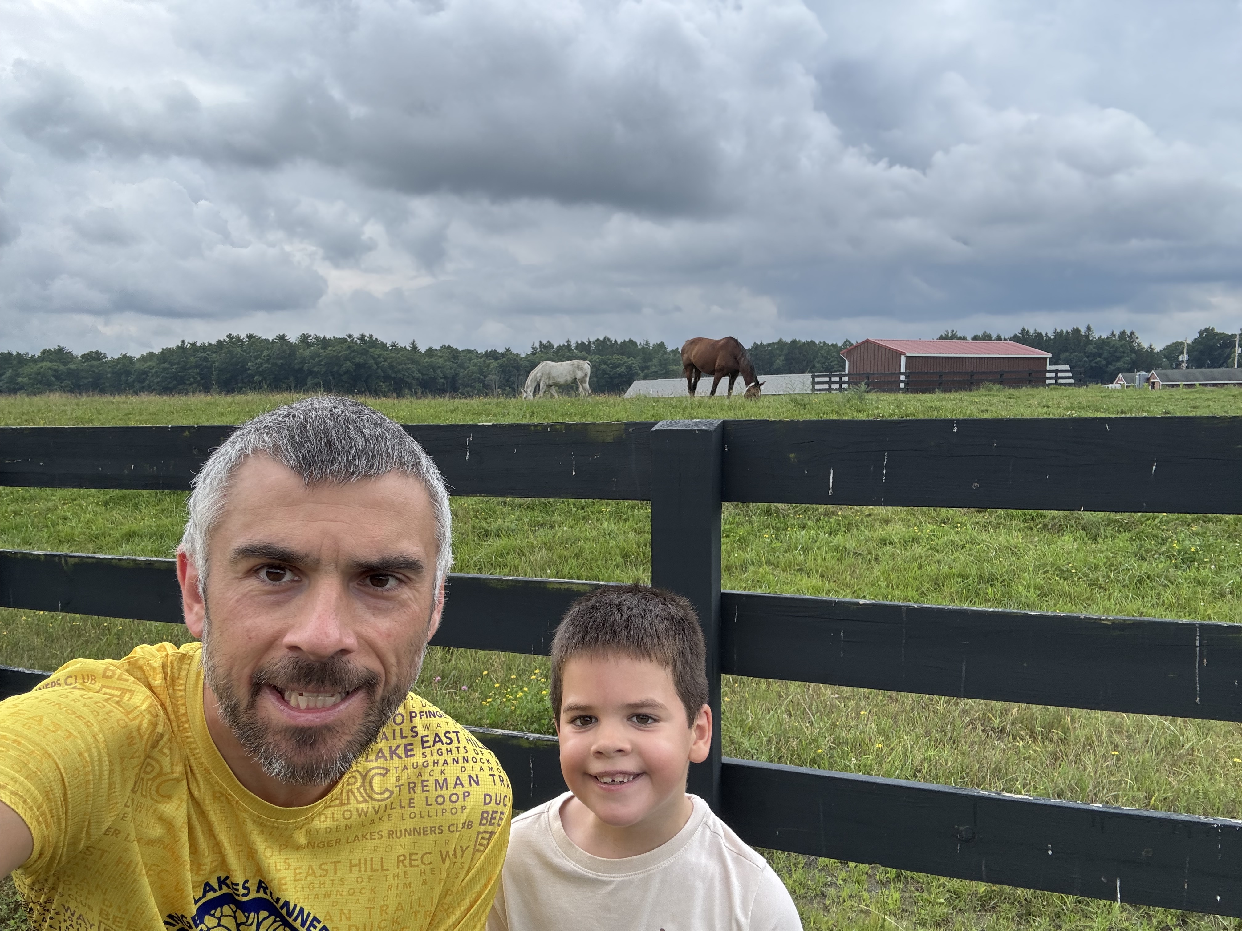
After the run we made a go at being good Samaritans. Just before leaving the house I read @bobtalda’s post about the broken swing at Piglet Corner. I brought my tool set and an extra swing seat from the kids’ old playground hoping to attach it where the broken swing is. Alas, I have no way to detach the chain from the seat I brought and no way to attach the chain to the tree. Hopefully someone will come along better equipped than us.
3 Likes
Smart lad! Trails are much more interesting to run than a track! 
1 Like
Ooh, there’s a map?! I didn’t post about it here but Courtney and I ran one at my high school’s track last week: Morning Run | Strava (Nelson Stadium, Burlington, Ontario, Canada)
1 Like
Here’s the map with every Sweet 1600 track FLRC Challenge Sweet 1600 Track Venues - Google My Maps
In June I ran a 1600 in Waldport, OR (HS). In Aug 2023 I completed a 1600 in my hometown of St. Maries ID. This was at the old dirt track near the city park; the only track in n existence when I lived there!
1 Like
I don’t recall seeing any star posts on either of those — maybe I overlooked them when scrolling through. I’ve updated the map to include both tracks. Congrats on logging the first track in Idaho, and more surprisingly, the first and only one in Oregon thus far.
Story
Greetings from Leadville, Colorado! I’m in town to volunteer and pace and the Leadville Trail 100 and just finished sucking wind on a short, rambling run. My run included four laps around a cracked asphalt track at 10,000 feet elevation. (Per Strava, the segment of my run, mile 6, was at exactly 10,000 feet.) Leadville is the highest incorporated city anywhere in the United States and right now the town is abuzz with ultrarunners, crews, and other people associated with the race.
The mountain views here are simply stunning! Some of Colorado’s highest peaks are visible from the track.
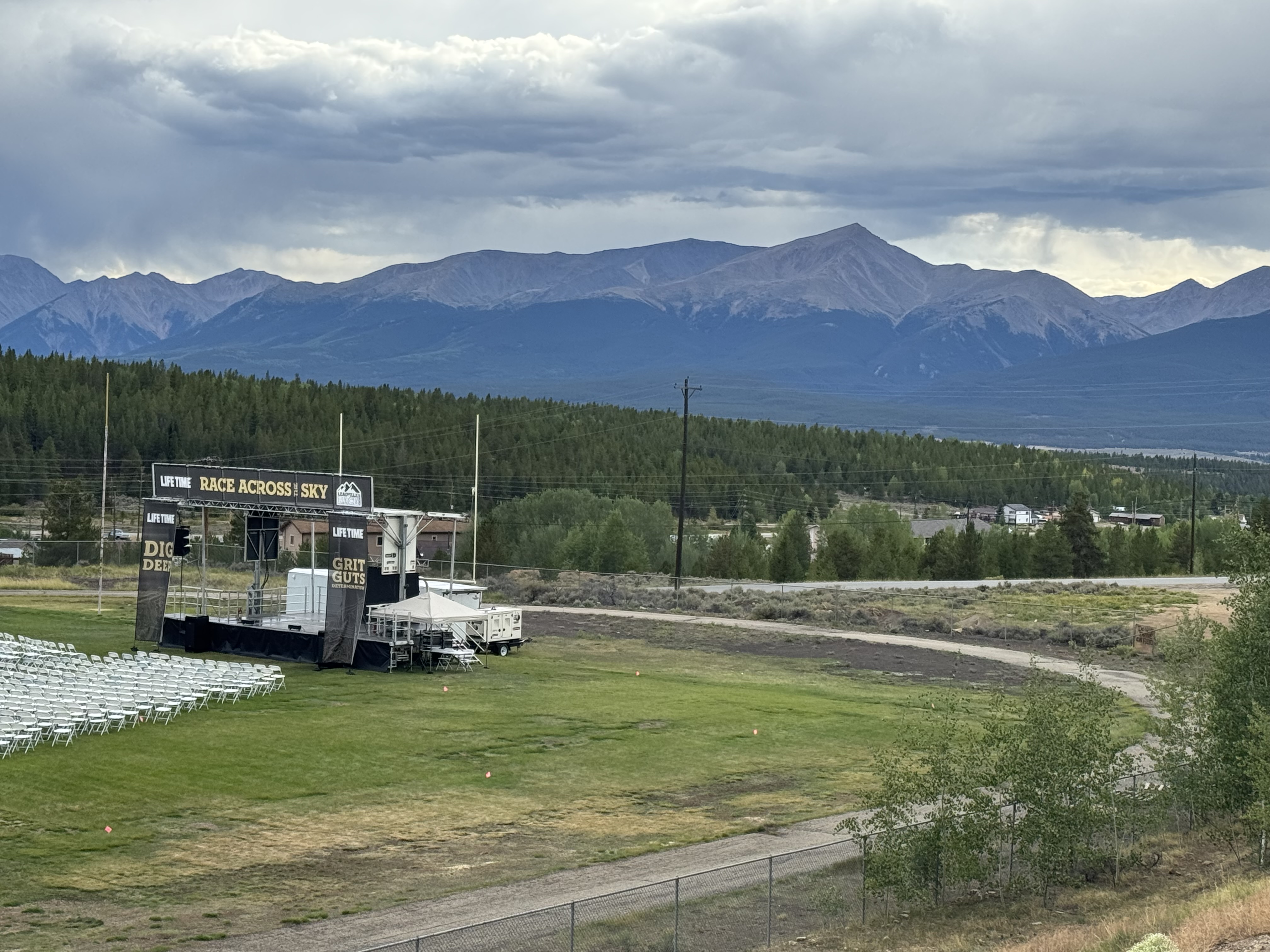
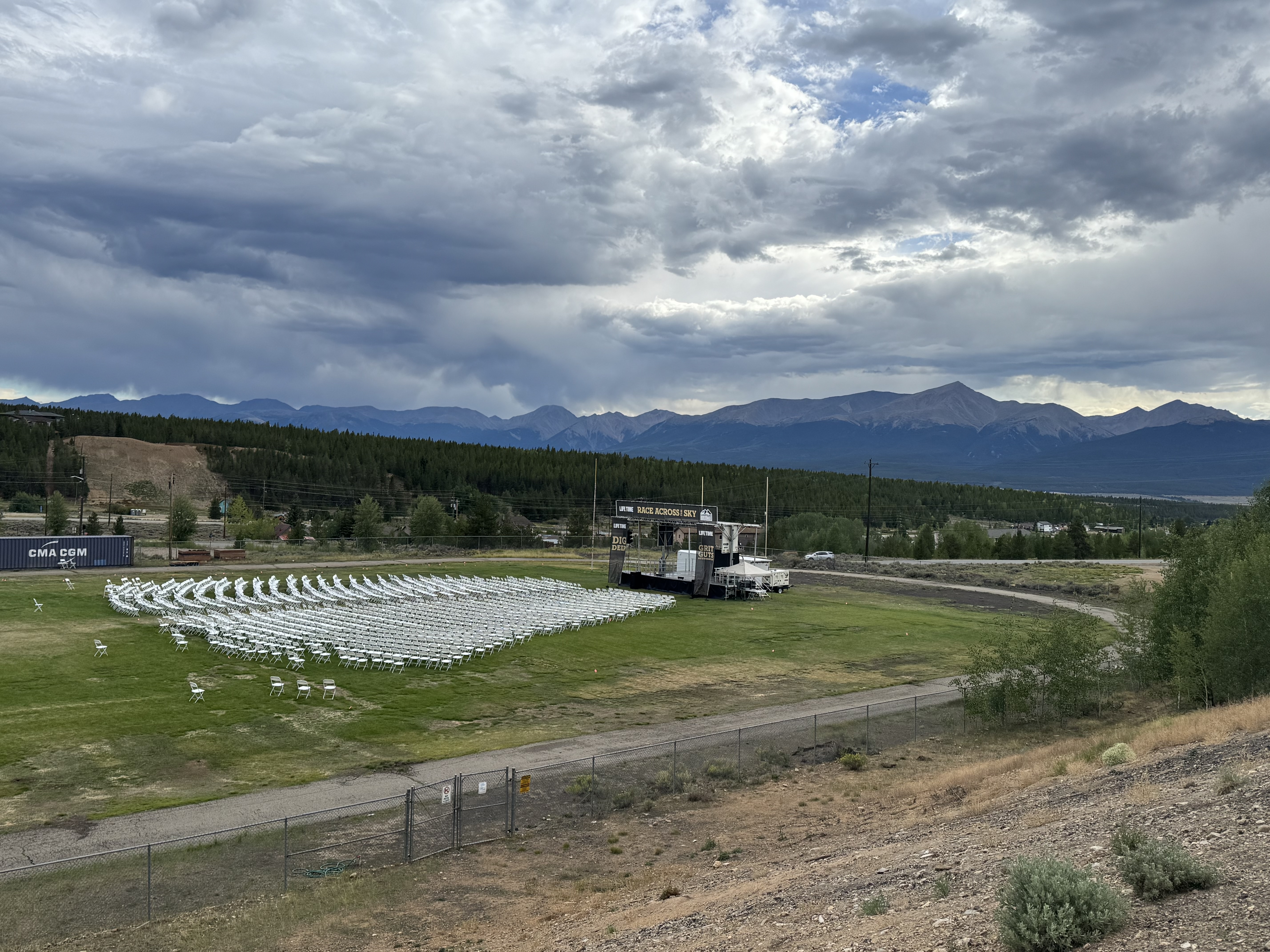
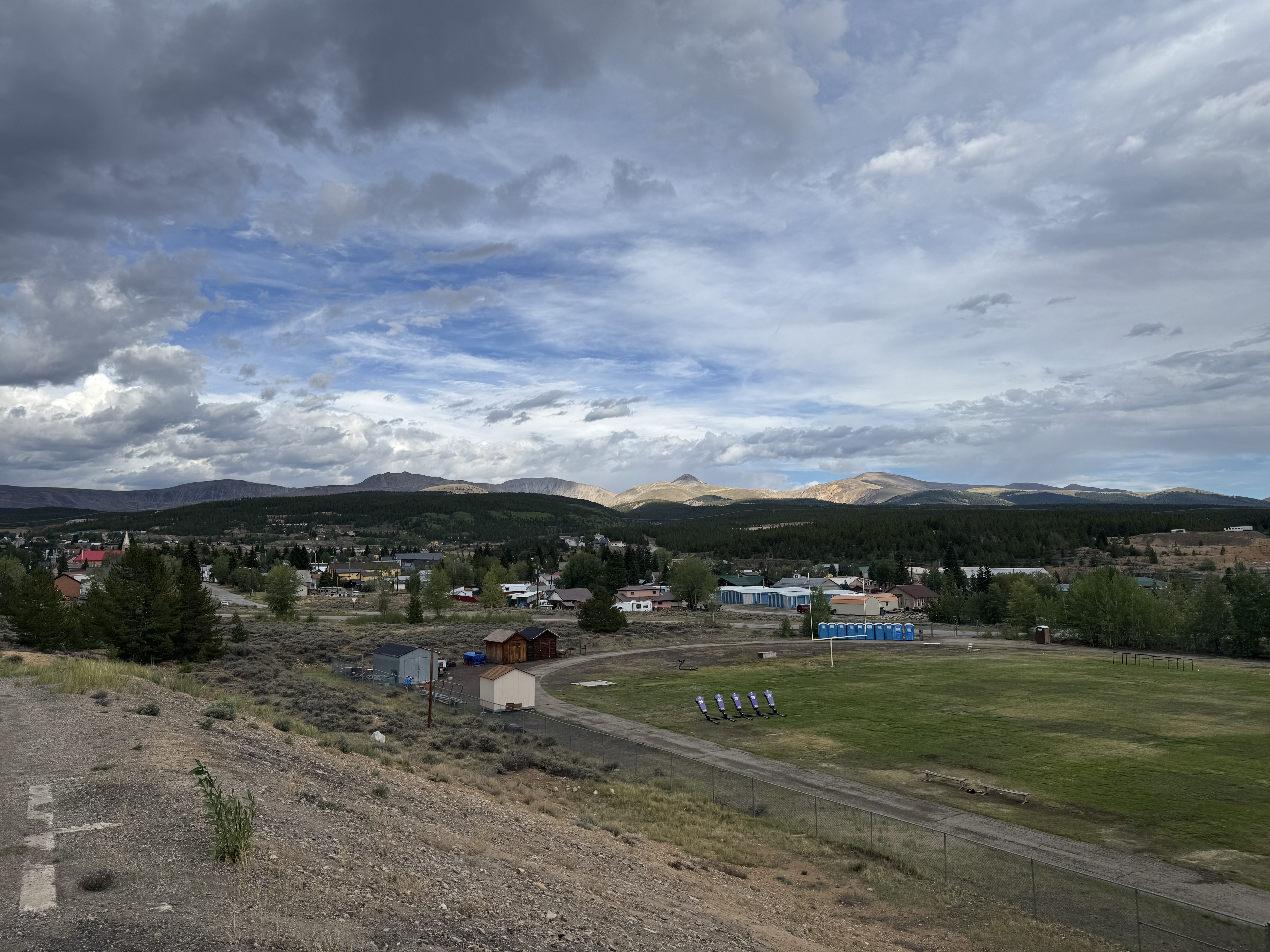
The field inside the track is set up for Sunday’s awards ceremony.
3 Likes
Story - Searching for a track in the City of 100 Spires
I’m in Prague for a week, attending a conference and thought I’d get a Sweet 1600 in while here - 4,113 miles from Ithaca. Sure enough, the map showed a 400 meter looking oval about less than a mile from my hotel. Turns out it iwas at the top of one of the highest parts of the city, so it was fun getting there. I arrived, to a fenced off entrance. Oh no!
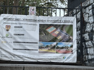
I thought I’d head around the perimeter to look for a hole in the fence or something. Around the whole place. While I didn’t find any holes, I did spot some people walking and running on it, so knew there must be a way in.
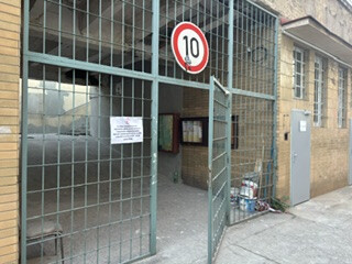
Found a small gate that led to a larger gate, and sure enough, there it was.
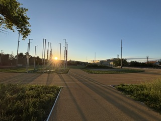
Started a low-key 1600 just as the sun crept above the horizon.
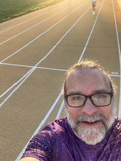
And there it is. The TJ Sokol okruh.
Happy Challenge to everyone.
6 Likes
Story
I walked 3 miles on the track at South Seneca High School with friends between volleyball matches.
2 Likes
Was the track actually 400 meters? On the Google satellite imagery it looks elongated, with straightaways twice as long as a traditional outdoor track.
I believe was. It had all the regular distance markings for start/finish for a 400 meter track. Also, the Strava segment for it shows as .26 miles.
Jesse
I guess it just looks weird on the map. Kudos for snagging one that far away!
Ahh. looks like the wrong spot on the map. That is a weird track. The track I used is here: Google Maps
Latitude/Longitude: 50.079283154102534, 14.441512047874616