Blueberry Patch Star Posts (2026)

Use this topic for posts that will collect community stars for the Blueberry Patch course. You can also ask questions or make comments about this course.

Here’s how it works.

  • Click the “Post Using This Template” button below to create a new post with a Story heading and boilerplate text.
  • Replace the boilerplate text with your report for one or both sections. The Story header is key for distinguishing between posts and replies—don’t change it.
  • Your post must be on the same calendar day as your run as entered in the leaderboard.

Story

To pick up a community star, replace this text with a write-up of what your run was like, a photo you took on the run, a link to your Strava track, or something similar. Don’t delete the Story heading above.

Story

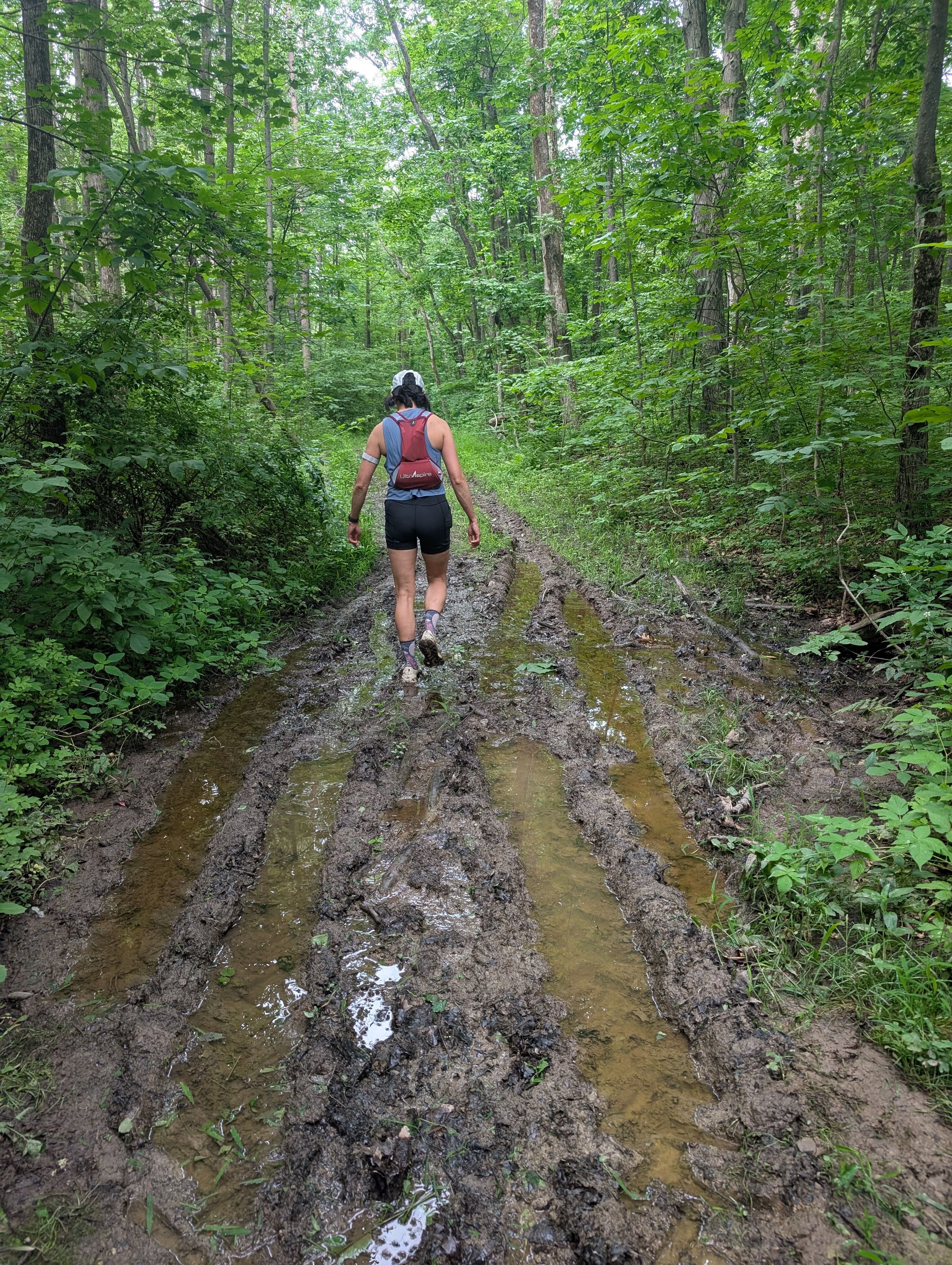
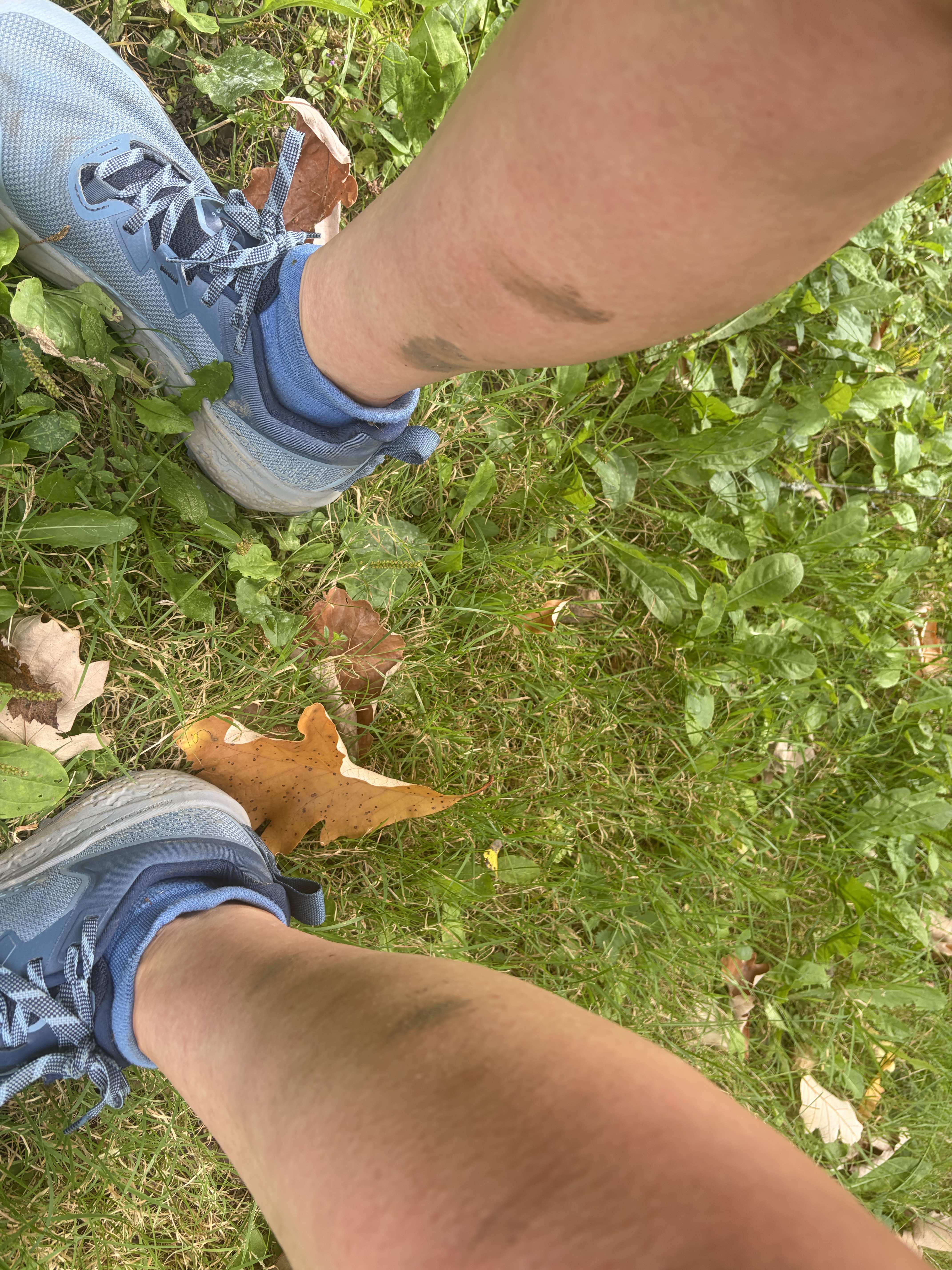
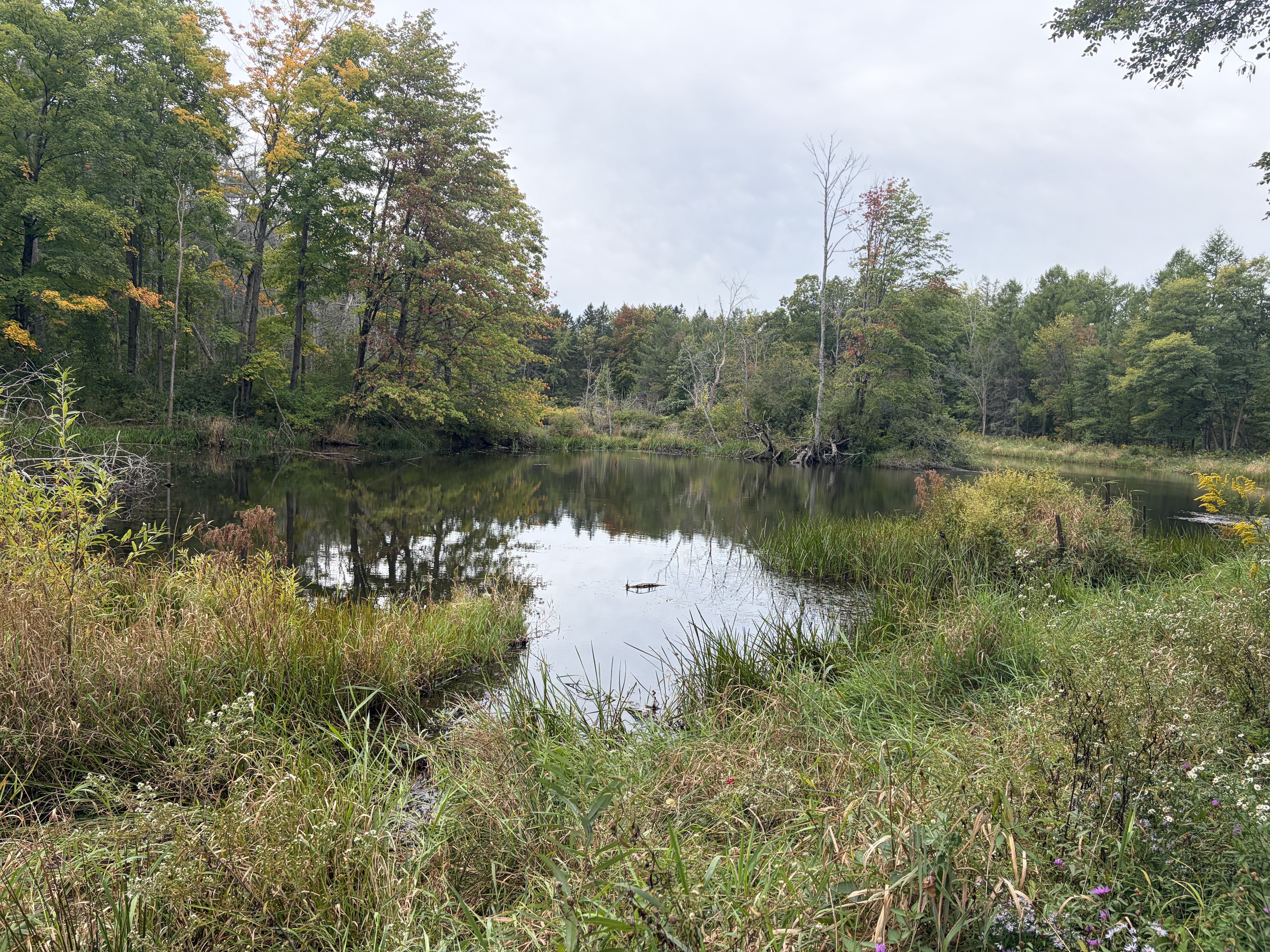
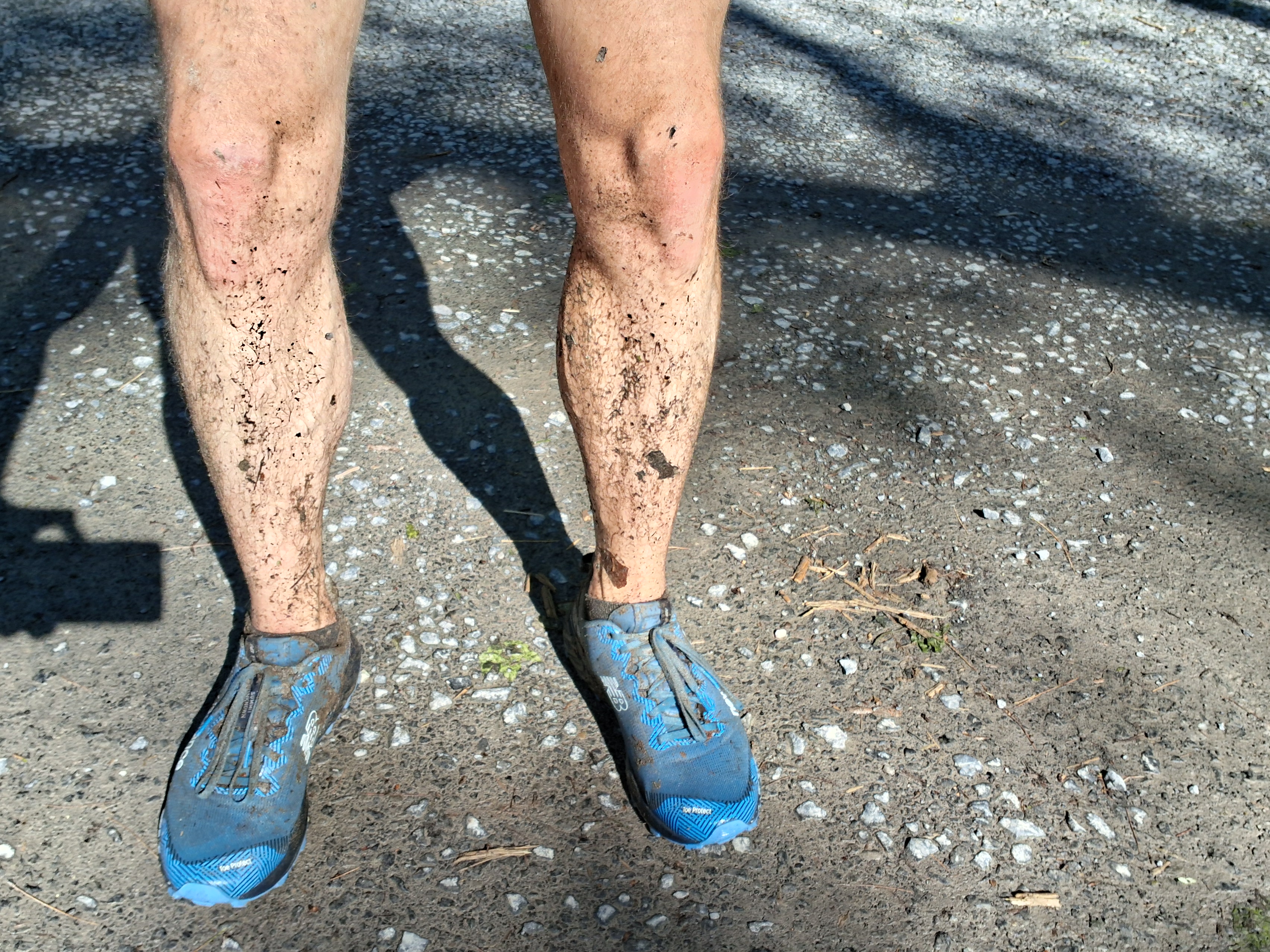
Blueberry Patch was a sloppy, muddy mess today. Part of the Interloken Trail was literally a creek. The parts of the trail that weren’t underwater were mostly long, narrow mud pits. One of the few dry parts, the gravel trail around the pond by Burnt Hill Road, was guarded by a family of geese who were extremely put off by my presence. Fallen trees required me to duck, hurdle, and climb to get through. I took my time with the obstacles and had a nice, relaxing longish run.

Today’s run is notable because Blueberry Patch was the only remaining course that hadn’t been run at least once by any Challenger. As of today, we have collectively covered all of the ground.

Here’s what my legs looked like after the run.

4 Likes

I was planning to go out early and run this on Monday but come 5 a.m. I needed the extra sleep. Thanks for vindicating my decision to run shorter and close to home.

I can’t wait to see how the stroller run goes for you on this one :smiley:

I’m pretty sure trail conditions there only exist in one of two states - wet and muddy, or hot and humid. Nicely done!

Story

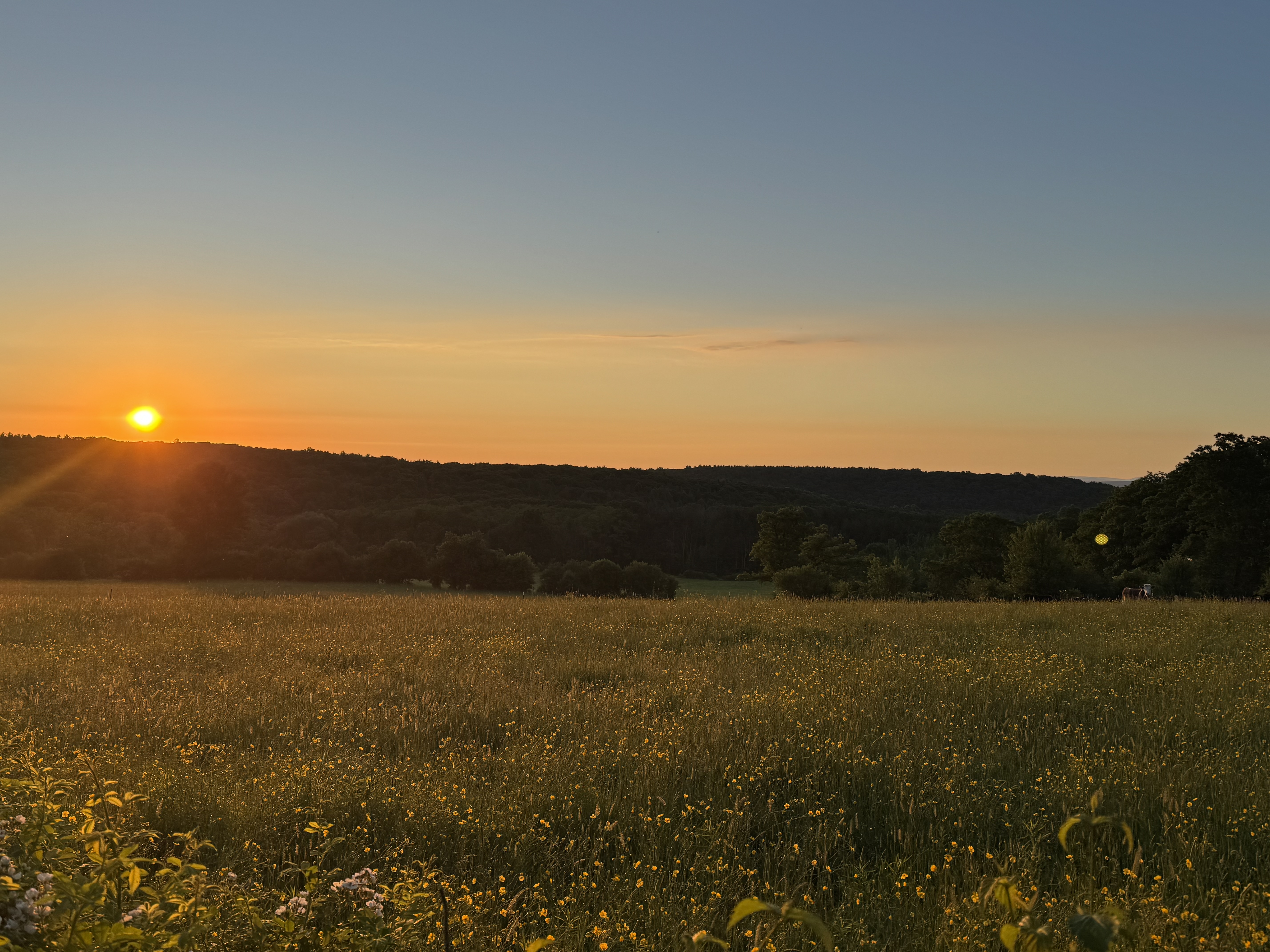
I started bright and early and half a mile into the run was greeted by about 15 stampede bovine, charging full speed parallel to the trail, full view sunrise as the backdrop. I’d never seen anything like it. By the time I thought to grab a pic, the herd had begun peeling off downhill, away from the trail.

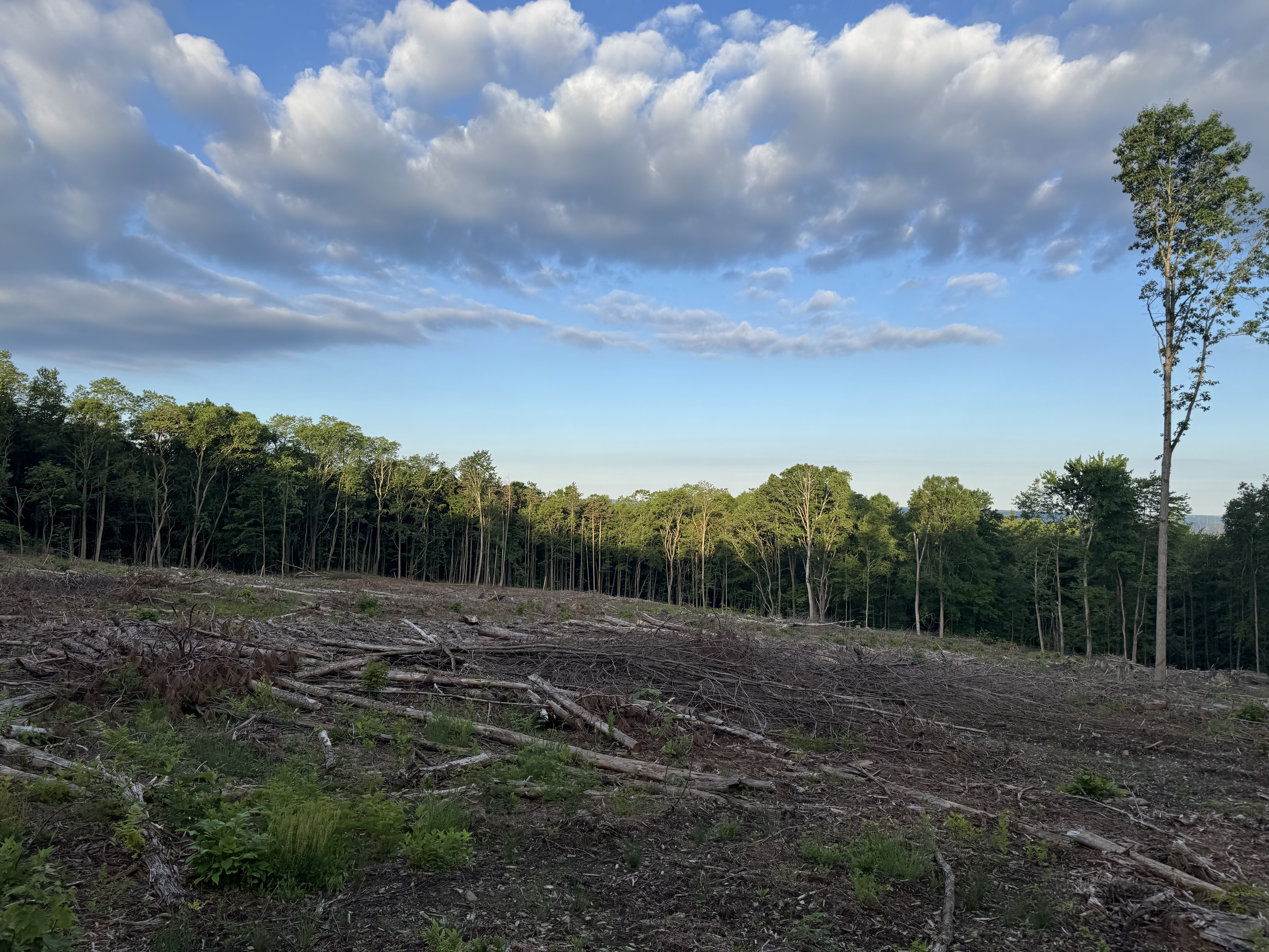
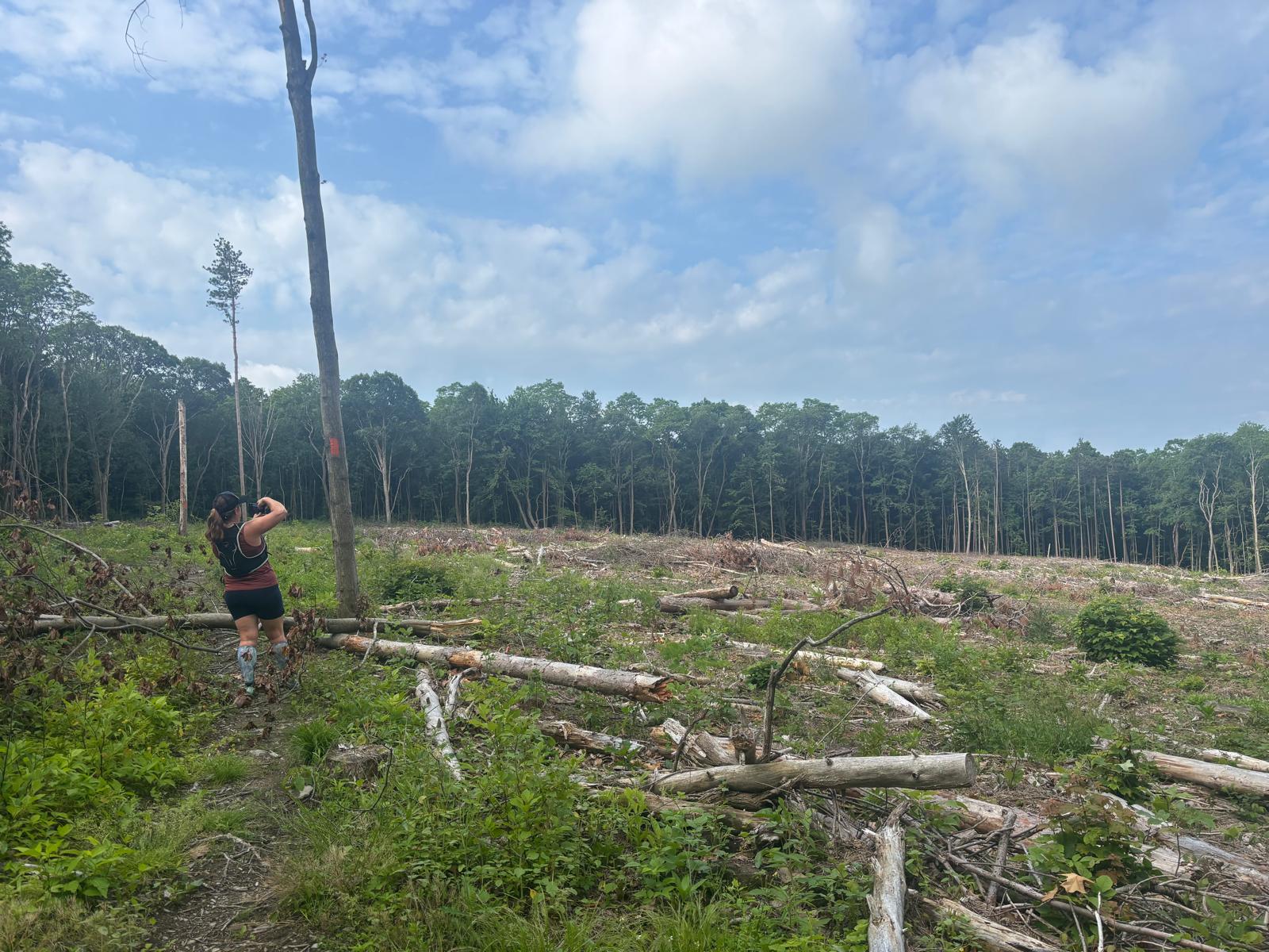
After zoning out a few times and taking a few wrong turns I came to a spot on the Interloken Trail, just south of Matthew’s Road, that was recently logged. Six acres of trees gone.

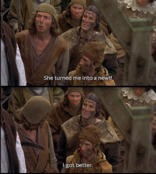
On a positive note, I scored a personal best NewtCount of 21, giving me a of 2.47 npm NewRate


. Sometimes I wonder if any of those little guys are medieval peasants who haven’t yet recovered from the brunt of some witch’s wrath.

6 Likes

Story

This felt like more of a >8.5 mile obstacle course today! Some very muddy sections and lots of downed trees to clamber over. But still a beautiful trail.

We didn’t encounter a stampede as Pete did, but just one very curious cow that was enough for Melissa and I to pick up the pace :laughing:

The cleared section of forest felt like a spaceship had recently landed…

4 Likes

Story

**What else is there to do between volunteer shifts at FL 50s?

(Note to editors: I was falling asleep last night trying to post this so finishing now)

When I completed this course as part of the 2023 Challenge, I was recovering from Lyme disease, and was limited to “fast” hiking. So I had always wanted to come back and truly run it, but this course has proven to be logistically one of the toughest to fit into my schedule. So I vowed to make it part of my FL50s experience this year…but… I would have tried during Thursday course marking, but I was assigned a different section (that no one got lost one, yay!). No problem, there is the Friday course check - but the afternoon thunderstorm delayed my arrival. So on Saturday, during the race, I seized a break in the aid station support I was doing to squeeze this in. And I was glad I did! I didn’t have easy access to my phone/camera during the run, and there were lots of other runners out, so I didn’t add to the collection, but basically, the trail looked like prior posters photos showed.

I chose to run over from Potomac campground (home of the FL50s) to the start - and it was a good thing, as I encountered a wayward (way wayward) FL50 racer who had somehow missed the turn up the Backbone trail. I set him straight and got myself going. This time I remembered to hit the lap button on my watch when I started, which was good because the RunGo lady was well, off in her timing, giving me a 1 mile time shortly after I started (?!?) - but at least her directions were good. That, and the pink flags for the race course when I was on it…

I found the trails much less muddy than expected, given that every FL50 runner had been there at least once - but there was still plenty of mud to work around. I was passing the occasional racer so was very careful when my course veered off theirs; even though all were on their second lap, I didn’t want to lead them astray. And there was that brief section where I was running into traffic - calling out “wrong way runner” each time.

I got to the South Beach aid station and greeted @stephen-jesch who let me grab some water, chips and fig bars before I headed out on the loop. I benefited here from the markings - last time I struggled a bit on the first little stretch of the FLT but it was easy to follow the flags (thanks @Dave_K!) I also benefited from 2 racers who passed me, which woke me up from a semi-stupor and got me back on pace, quickly overtaking them and getting out of ahead of them because I was about to veer off their course briefly

Except I didn’t. The one anomoly of the run…I couldn’t find the South Slope trail on the other side of Burnt Hill Road. I had noted that the junction on the other side with the Interloken Trail was well marked, so I had assumed… Anyhow, given the circumstances, I did just stay on Burnt Hill Road and waited for the RunGo lady to catch up to me. Which she did, just in time for another stop by the Aid Station for a final refuel.

The next leg passed quickly - as I was now running in the same direction as the racers, there were only a couple that I passed. I was sad that the cows were no longer crowding the gate at the Matthew Smith road crossing - and more sad that the trough on the other side was as muddy and deep as always. I pushed hard on the forested stretch that followed, trying to make sure I was well away from other runners. I stopped briefly out of site after the Ravine Trail intersection to make sure I wasn’t followed - and discovered that was a big mistake. I couldn’t get started running again, so I hiked the last half-mile or so back to the finish of the course, and ultimately back to the campground. And it was there I discovered just how humid it was - my gear was soaked through with sweat.

All in all, a great run…a couple of quick closing notes:

  • I took my time from the lap times on my watch- ; the RunGo time was weirdly high, but seemed to reflect the odd “1 mile” statement way to early in the run..
  • As I was taking down the South Beach aid station, Chris Petroff raced by, working on building his points lead in the FLRC Challenge. I noted that he came off of the Interloken Trail, so perhaps he found the South Shore trailhead that I couldn’t

Strava activity
2 Likes

If I remember correctly, the trail is almost immediately across Burnt Hill Road. As soon as you start passing a small pond on the right side of the road, you’ve gone too far. The start of the trail was nearly overgrown and hard to find when I ran it in 2023.

1 Like

That’s right. left onto Burnt Hill Road, then right onto the trail in less than 100 feet. That little stretch of South Slope between Burnt Hill Road and the Interloken is always overgrown and tough to see the trailhead. It’s not part of the FL50s course and seems like no one is maintaining it. I had the same issue a few times in 2023.

Story

An O-Fer!
Ran this course twice today - 0 newts and 0 bovines… and 42,777 bugs hovering around my head most of the time, but never really landing. Did see some beautiful dragonflies by the ponds and two deer streaking across the cleared area.

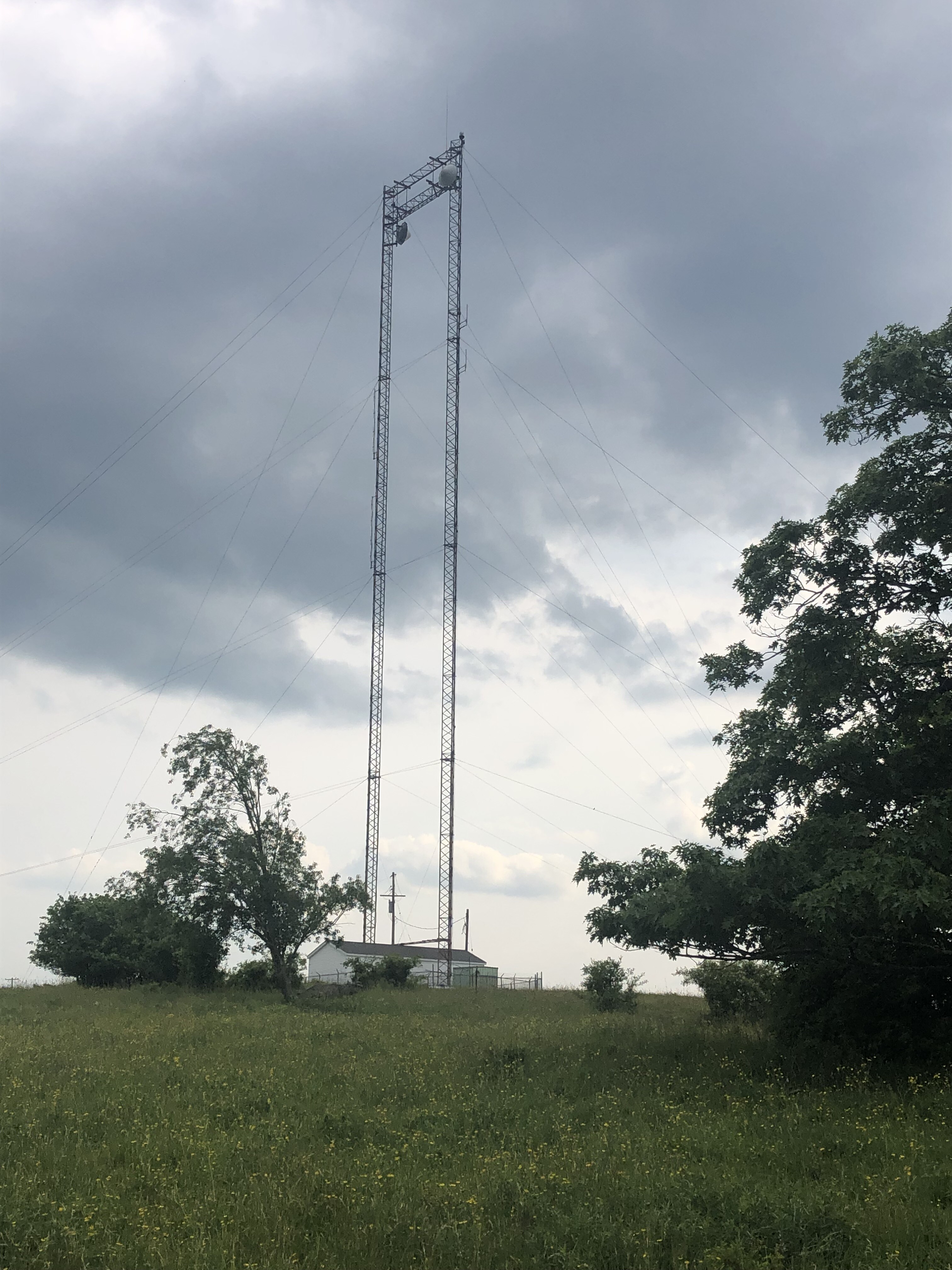
I ran this course in 2023 and the old microwave relay tower was still there


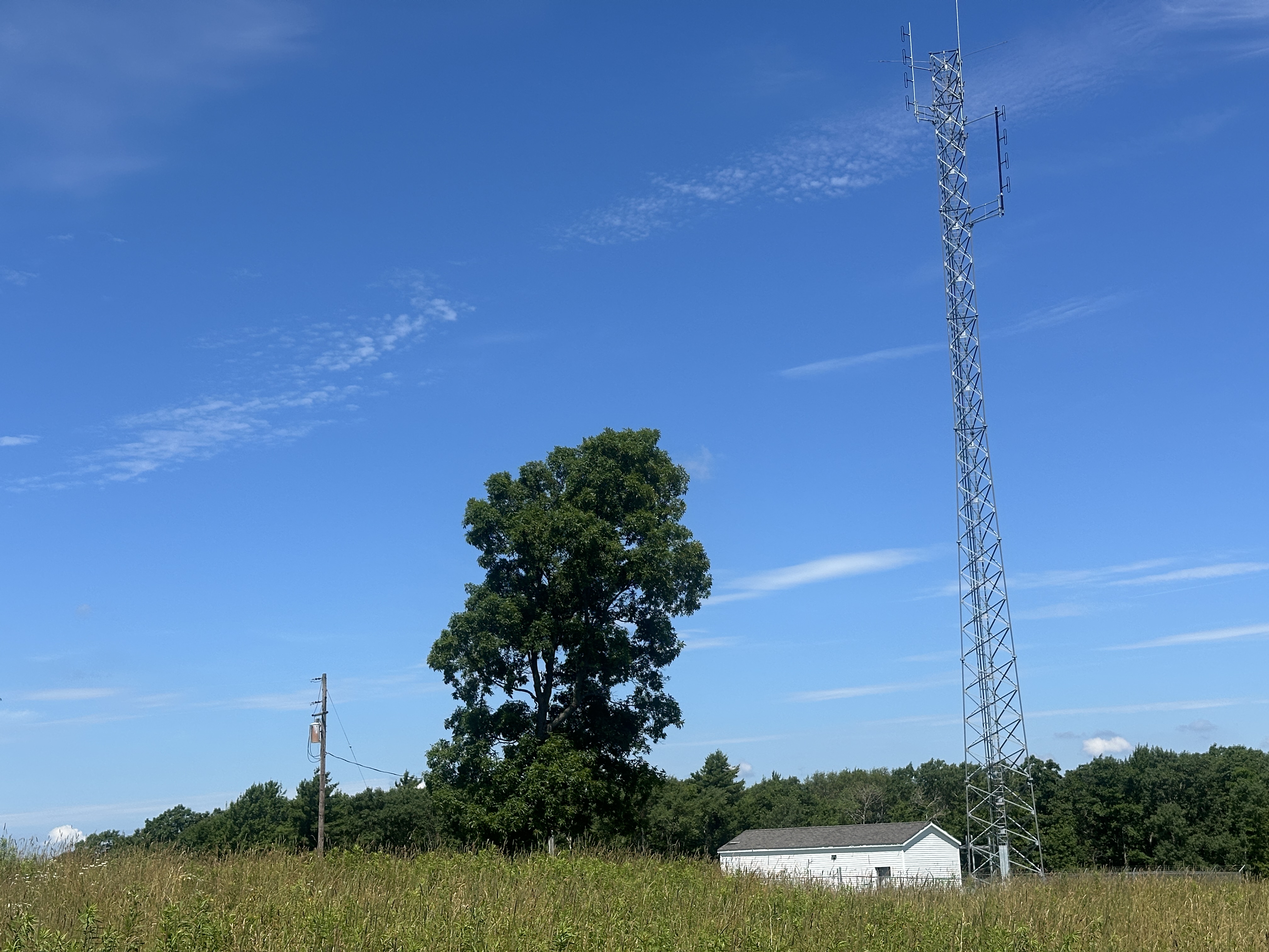
First thing I noticed running across the field is it has been replaced by a new tower

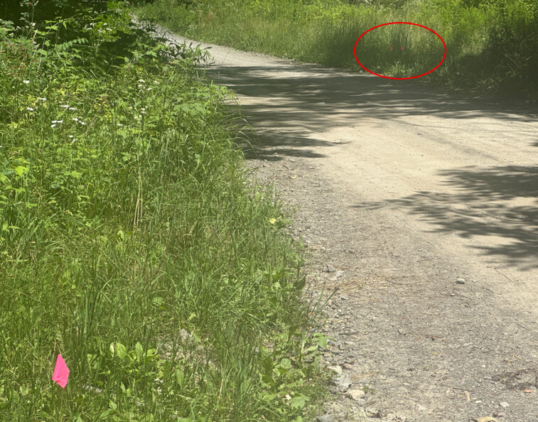
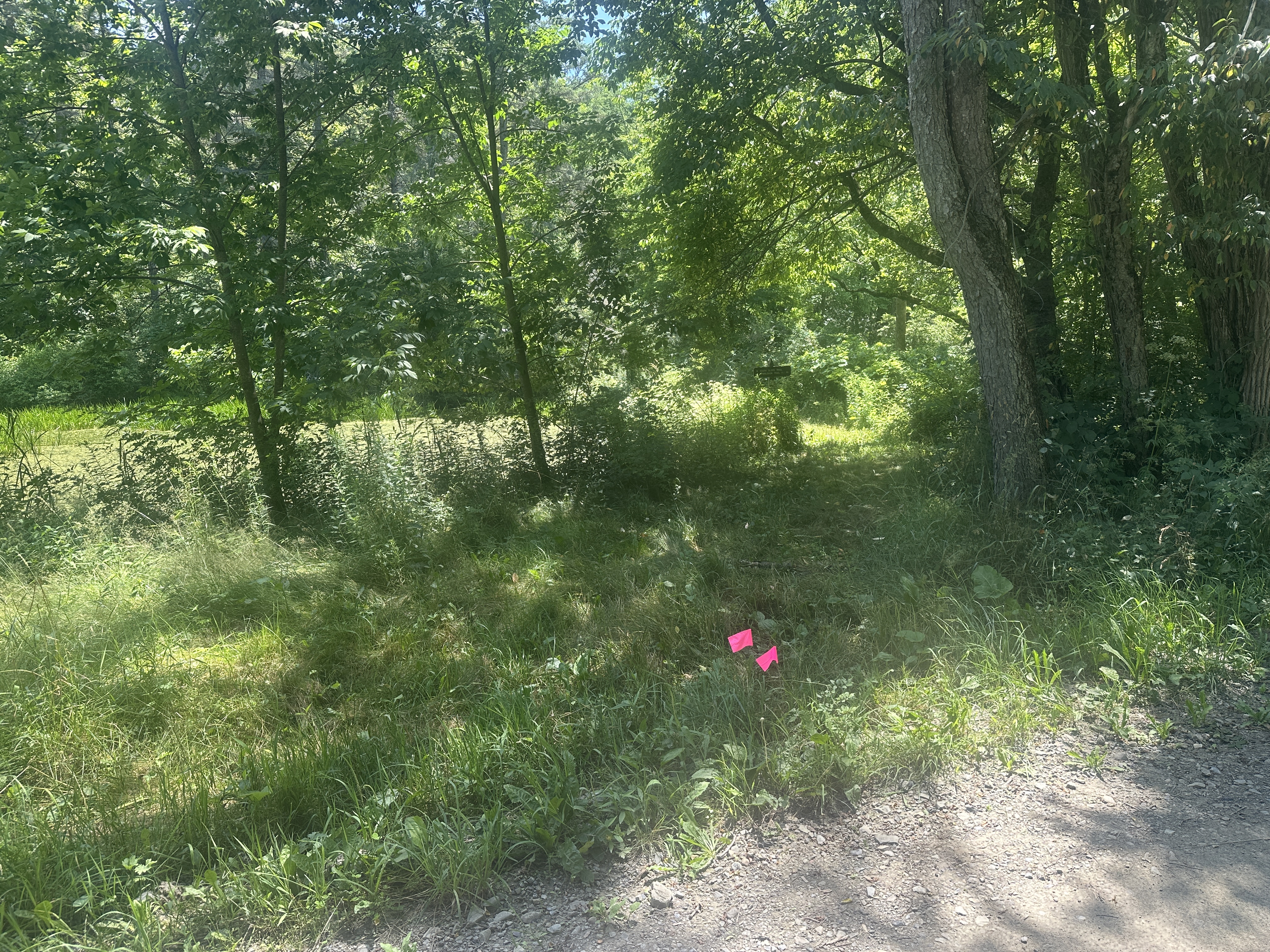
The following image may help find the continuation of the South Slope Trail on the other side of Burnt Hill Road. The single pink flag on the left is where the trail come out to a parking area. The two pink flags on the right (in the red ellipse) are where the trail continues on the other side of the road. It is not very far. The pink flags will not be there when you run it - I used some of the flags I found on the course just for the photograph. They are gone now.

As it turns out, the area around the normally obfuscated trail entrance has been trimmed recently and you can even see the trail sign set back from the road.


The bad news is that about 30 feet past the sign, the trail becomes very overgrown, with at least 4 trees down across this 0.1 to 0.2 mile stretch. Two of the trees were a bit of trouble to get over. @adamengst may want to consider allowing the Burnt Hill Road bypass as @bobtalda ran and as used by the FL50s. While it may only be a short stretch of trail, it is not really fun to get over, under, around the downed trees there, right now. And there were still plenty of fun, muddy sections elsewhere on the course!

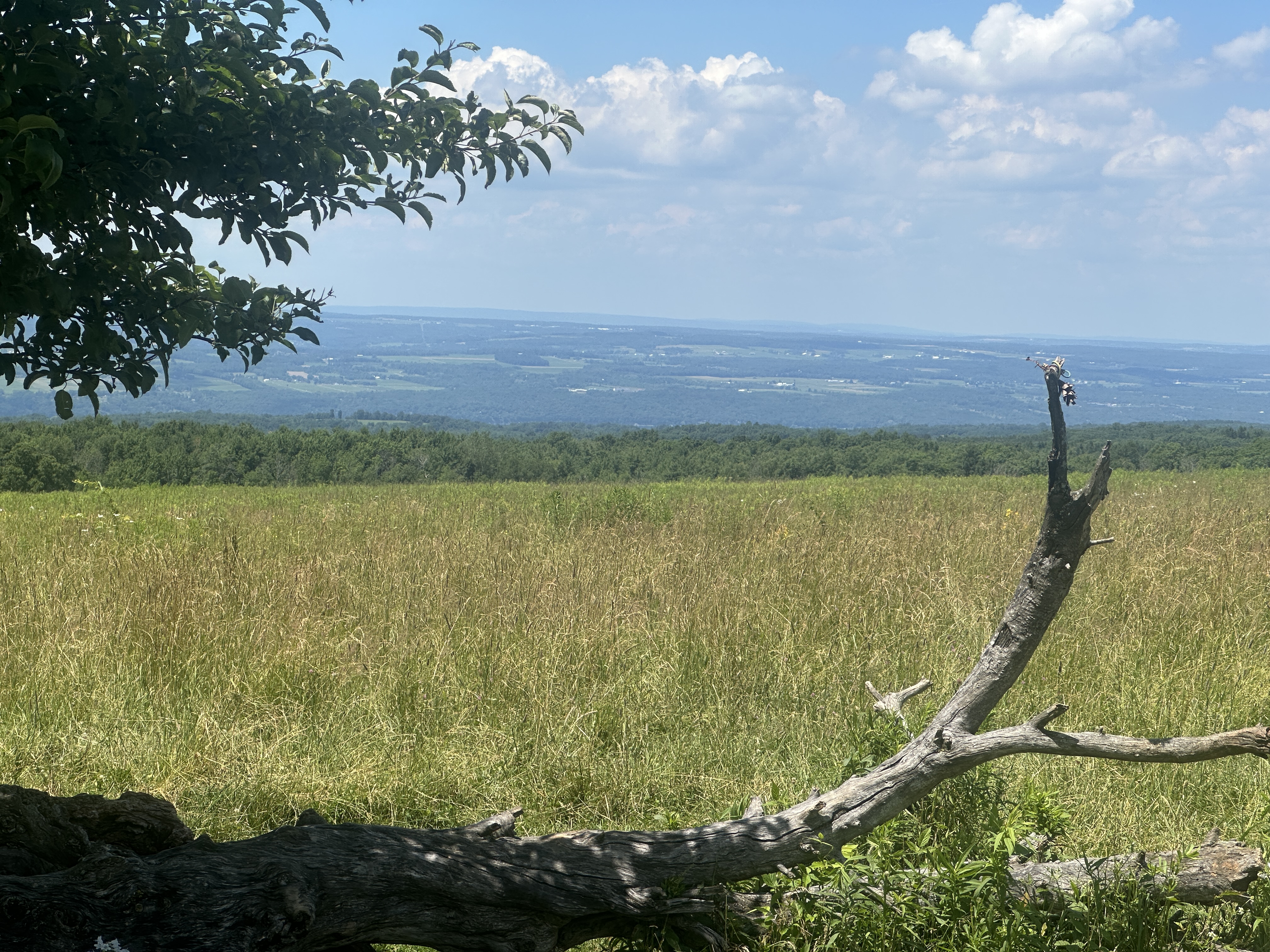
One of my favorite trail vistas in Central New York!

1 Like

I think that’s a reasonable reroute. It won’t make for any noticeable change to the distance, but should shave a few minutes off everyone’s time as they trade the chewed up trail for a flat dirt road. Plus no one will get lost looking for that overgrown trailhead.

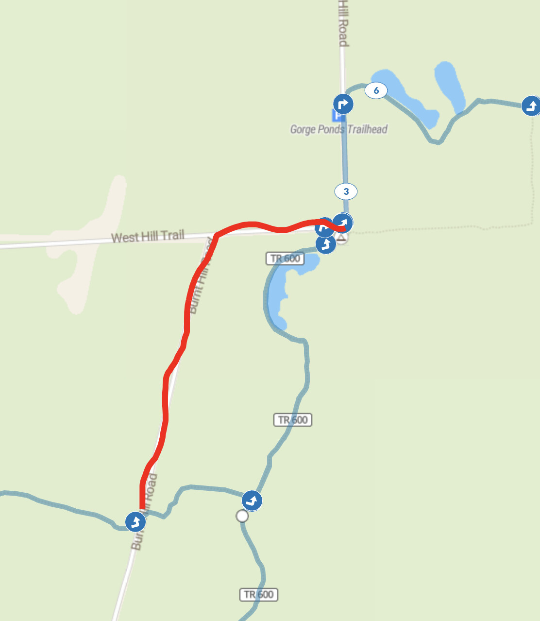
Is the suggestion that we turn left on Burnt Hill Road in the lower-left corner of this map excerpt, turn right on Burnt Hill Road, West Hill Trail, and rejoin the course where Burnt Hill Road turns, as I’ve marked here?

1 Like

Yes, that is it.

Agreed!