I found myself wondering about that fire hydrant too when we ran by it yesterday!
Story
The sun was out in full force by the time I made it to Danby. The half-hour drive helped provide a little recovery time, and I was able to eat a full meal (cream cheese bagel, strawberries, cucumber) with the A/C blasting the whole trip, ending up feeling pretty good by the time I started.
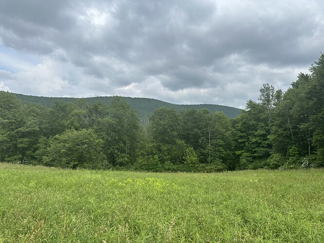
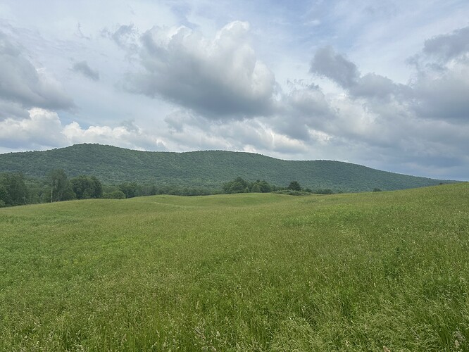
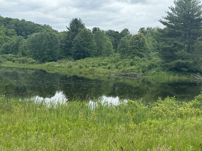
That lasted all of 1/2 a mile, until I was out in the fields, regretting most of my life decisions. But upon transitioning to the woods, I saw a family of groundhogs (5 babies?) and the cool beaver dam, and so many other critters, that I just kept chugging along.
My GPS freaked out approaching the train tracks, so I think I did the orange/purple loop backwards, but I “covered the ground” at least. I usually start to get the brain scramblies around mile 16-18, and was expecting to be able to rely on my watch for directions, but it didn’t like something about the overlapping loops, which made me need to figure things out on my own. Despite bringing 5L of liquids, I ran out after finishing this one, and needed to stop by a convenience store on the way to Lick Brook.
Part 3 - FH Fox
4 - Lindsay-Parsons.gpx (122.0 KB)
Part 5 - Treman Trailipop
Story
Not gonna lie, after Run Rabbit Run on Saturday, Thomb B on Sunday, Hammond Hill yesterday, and FH Fox earlier today, my legs are totally smoked.
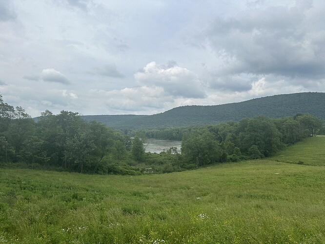
Gorgeous views on this one, and the orange and purple loops are super fun. Got to do this one again once I get my legs back.
If at first you don’t succeed, fail again
Looking at the weather forecast for the morning: strong, gusty winds from the south with a good chance of rain, decided it was worth another go at this Challenge, since the course had proved well sheltered from such winds last time.
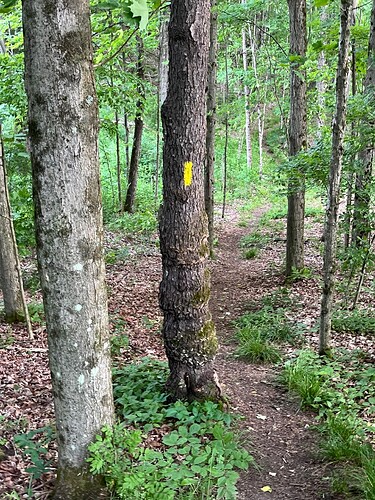
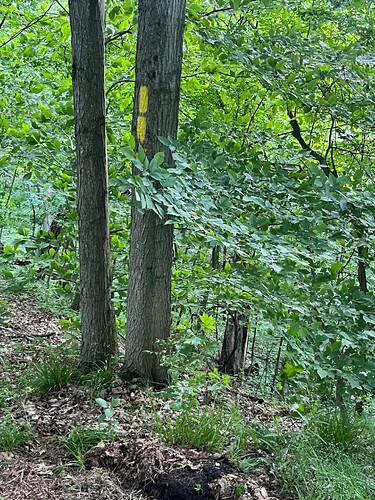
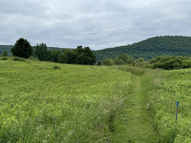
I got off to a shaky start as my legs were really tired from Cornell Commencement duties Saturday. But the resulting slow pace gave me a chance to really listen to the RunGo directions. I corrected the mistake I made the first time I tried this (and it wasn’t where I thought it was) so all was well and good until I ended essentially loop one and was told to turn right onto the Orange Trail. Well, as the attached photo show there isn’t a single orange blaze in sight, just lots of yellow ones.
So I pressed on what was the route back to the parking lot, but this time, when I heard the RunGo “rejoining route”, I knew something was wrong and walked back to the juncture. Because there are 3 turns at the point, it took a few minutes to figure out which way to go - down the yellow-blazed trail - at which point I restarted RunGo because it was completely confused. Thus, I have two RunGo runs logged - one loop one + mistake and one of loop two that I am willing to share
I got over my grumbling at started running again once on the orange trail - only to met a fellow Challenger (whose name I would only misspell) going the wrong way on the orange trail. They had turned the wrong way coming off the purple trail. We chatted briefly then went our separate ways - and momentarily for me, that was the wrong way - but in time I was running comfortably enough and finished without issue. (though that south wind is a little tough to run into on the red trail back in!). Once at the parking lot, I discovered that the misguided runner was attempting another loop. I don’t have that kind of energy or time so I have to try another day. Third time’s a charm, maybe?
One other note: I was surprised that the wind didn’t keep the bugs away on the grasslands. I am NOT going to try and run this challenge on a still night in summer - bugs might carry me away!
And I managed to find the only Bramble on course .
RunGo has trouble with the loops on Lindsay-Parsons because it doesn’t know how far into the run you are, so I recommend looking over the RunGo map before starting and bringing something you can reference (phone or printed map) when you’re out on the trails.
Adam:
I wholeheartedly agree with looking over the maps in advance, but in the discussions with the wayward runner it was clear that the map with the overlapping loops is also confusing. That is why I’m willing to share my two RunGo log entries as there is no overlap in the maps for those entries. I didn’t create them for this purpose so it’s kind of inadvertent, but I have them. Your call since I don’t know how to post in a useful manner
B
I’m not sure how your RunGo entries would be useful, but we have a group run at Lindsay-Parsons on Sunday, so I’ll make sure to print some paper maps and we’ll talk about it beforehand.
Most people seem to be finishing it OK, and we’ve had 69 completions so far.
Adam, it’s not the entries it’s the map from the entries someone trying to visualize the course could look at the first map and see how to run the first loop and look at the second map and see how to run the second loop. Does that make sense?
Maybe? If you can email me screenshots, I can take a look. I’ll try to make a better map in the meantime.
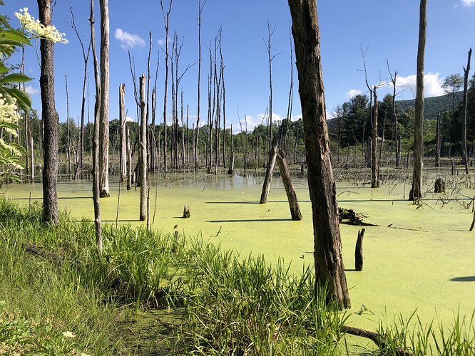
This is a great course on a wonderful piece of land! I had the place to myself on this crystal clear evening while so many Ithacans were at the Ithaca Fest Parade. Just me, my paper printout of the map, and the breeze in the trees. Not wanting to try RunGo for the first time on such a loopy trail, I was glad to have the paper map and thought I would have no trouble since I’ve hiked L-P a number of times. Seemed easy enough. But I totally missed the connector between the Purple Trail and the Orange Trail up on the hillside. Backtracking over my route a number of times, I figured out my error, adding an extra half-mile to my efforts. I understand Bob T’s confusion and saw those trees in his pictures several times this evening!
I look forward to running the course again and I think I might even be able to do it correctly next time! ![]()
Story
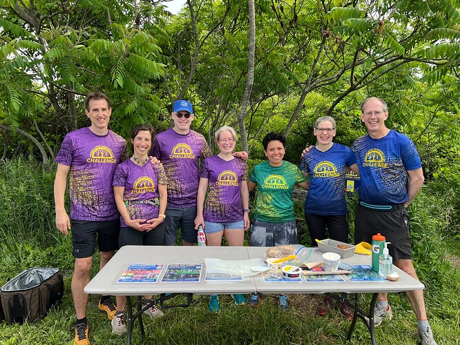
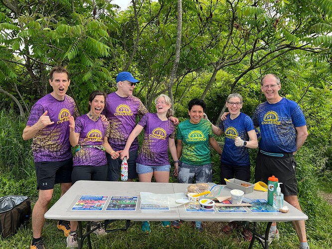
What a fun group run at Lindsay-Parsons this morning! Neither @Jamie nor I had ever been here before and it is quite lovely with forested and field trail running. The trail is very confusing so I was super glad to have @adamengst 's color-coded map in hand as I didn’t have service at the starting point so couldn’t get RunGo up and running initially, but did have service about a mile into the course and so quickly pulled up the RunGo directions, which were immensely helpful. We only made two wrong turns which were quickly remedies both times.
Lovely to socialize with a great group of runners. And Thanks to Adam and @tonya-engst for the yummy snacks, complete with tofutti spread for the vegans among us.
Finally, thanks to @Gerald for taking this rainbow photo of Challenge shirts, at @amy-dawson 's suggestion.
Great photos, thanks! BTW, I misspoke about next week’s group run—it’s actually Valley Views, since we’re still working our way up in distance.
Story
Great course for a run or hike. My second time completing the course, first time on a run with our dog and today as a hike during the group run. Great scenery and wonderful company, except for the snake we saw on the course, yikes!
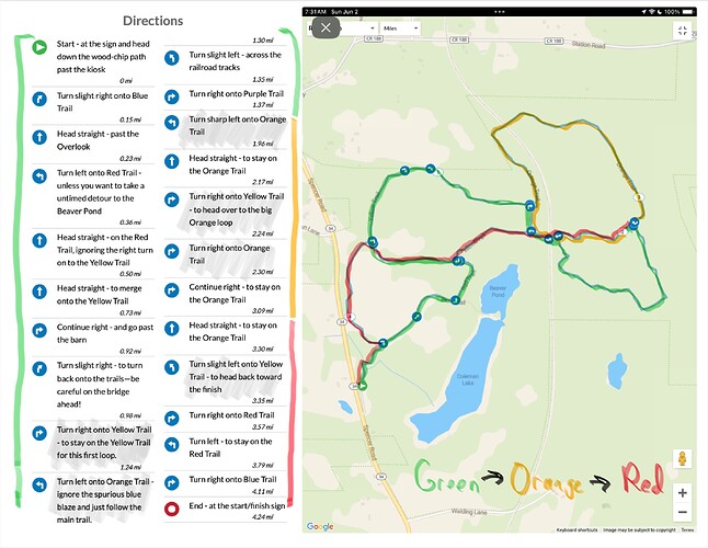
@Challengers To help resolve RunGo’s confusion about the course sections that you run twice, I’ve developed an annotated course map that makes it clearer when you reach each part of the course.
You follow the green highlight to start, then the orange highlight, and finally, the red highlight. Be a little careful in the first and last half mile because the Finger Lakes Land Trust has mowed some attractive-looking paths that don’t have colored stakes and thus aren’t part of the course.
Nice! like this solution …
Story
This was course 2 on my Tough Trail Challenge. We didn’t have any trouble navigating (although we did spend a bit of time the night before downloading directions and studying the map). Not my favorite course but pretty in spots.
Story
Round two on this course. Running with our other friend to help her get closer to completing the challenge. Still messed up navigation. But we did manage to shave a few minutes off our last time. My GPS tracking seems to drop out at the far end and that must be messing up our navigation on RunGo. It’s still pretty there though.
Story
First time on this trail. Might have helped if I looked at Adam’s map before I started and brought my reading glasses. Preserve is gorgeous and trail was well groomed and tons of fun. So much in fact Hank went up and down the same part 4 times ![]() Map on COROS watch was good but without my glasses, couldn’t see the map on watch. Ran an extra mile but had tons of fun doing it.
Map on COROS watch was good but without my glasses, couldn’t see the map on watch. Ran an extra mile but had tons of fun doing it.
