@Challengers, for those who are champing at the bit (and it is champing, not chomping), I now have custom RunGo directions done for everything but the North Country Half course. I just ran out of time on that one, and I want to compare it against what we did two years ago. I should have it done tomorrow sometime.
So, if you’d like to playtest the RunGo directions and let me know tweaks and corrections, here are the links:
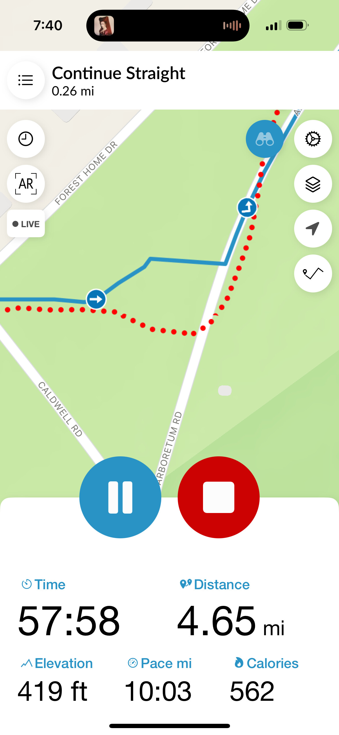
@adam I’ve already playtested Fall Creek Trails and Town & Gown. Overall the RunGo cues are pretty good, but has a few confusing RunGo spots, particularly when Rachel says turn right when you’re supposed to turn left. Is it ok if I edit the directions as needed? I got about 530 feet of gain for T & G and 650 for FCT
Thanks, Pete. Please do edit the directions—it’s entirely possible I biffed a left/right while adding a manual point. If you could share a quick list of the ones you change so I can see what I did wrong, that would help me avoid such mistakes in the future.
OK, @Petorius, @veritymo, and @rogmos, if you’re up for testing the North Country Half course (or even just parts of it), it’s ready. I have to guess at a lot of spots where there might be some confusion, but I was able to reuse some directions from the last time we ran this trail.
Also, let me know if it repeating the trail name is annoying when I’m just keeping you on the main trail.
Tested fall creek trails this morning, such a lovely course! Instructions seemed good to me except when you enter the arboretum at the end - it says follow the most obvious path straight but apparently I should have gone left. I skipped the perimeter of the horse barns field but that was my fault.
I often run the horse barns early morning and I usually see a coyote or two. Of course I saw one today. They usually just stare or run away but FYI.
I found that a little confusing too. I read it as “go straight through the trees and turn left on the road”. I didn’t edit that cue on RunGo yet — I’ll defer to the RD.
I tested the Uptown and FC Trails about two weeks ago, and when I got onto the RunGo web app to edit, it looks like most of my noted corrections were already taken care of. For these courses I tweaked the text on a few of the cues to better clarify for anyone who may not be familiar with the area.
I tried out Cayuga Cliffs this weekend and the directions worked perfectly.
I also the NC half on Sunday before you updated the directions. I’ll look at it and see what might need editing. That one is tricky because it’s long and not all the trails appear on the RunGo map. I doubt I’ll have another chance to run it before the Challenge opens.
That’s just an artifact of how the trails appear on the map—I’ve fixed it to tell you to go straight through the trees to the road, and then added a left on the road.
Fixed!
Good. Yeah, two weeks ago, they were just the generic suggestions from RunGo.
Yeah, I remember it needing some on-the-ground tweaks a few years ago, which is why I built the new directions in close consultation with those previous instructions. But I have no idea how well the upper part that’s new will be mapped.
I tested the Mulholland Waterfalls directions this morning and it looks good. (Just watch out for the mud slick at the bottom of the final hill — it tried to kill me!)
Hi Adam! I playtested the Triple Hump course from the comfort of my office. The RunGo clockwise directions look good for someone riding a bicycle around the course. However, for runners on the left facing traffic, this requires crossing two roads at every intersection for a right turn. Personally, I will run it counterclockwise to avoid doing that.
Wait, weren’t you the guy who noted that I defaulted to counterclockwise because of my track background?
You are correct about the road crossings, but from significant experience on the course, you’ll probably prefer the clockwise direction. The first hill from Turkey Hill Road up Mount Pleasant is really steep, and while running up it sucks builds moral character, it’s uncomfortable to run down. On the other side of the course, running down Ringwood Road in the clockwise direction is fabulous because it’s a long, easy downhill, whereas running up is a long slog.
But in accordance with our Cover the Ground slogan, everyone can form their own opinion.
The only intersection that’s at all concerning is the turn from Turkey Hill onto Mount Pleasant, and frankly, everyone should be careful there regardless of direction because the sight lines are short in both directions on Turkey Hill. The remaining intersections either have very little traffic or wide open sight lines.