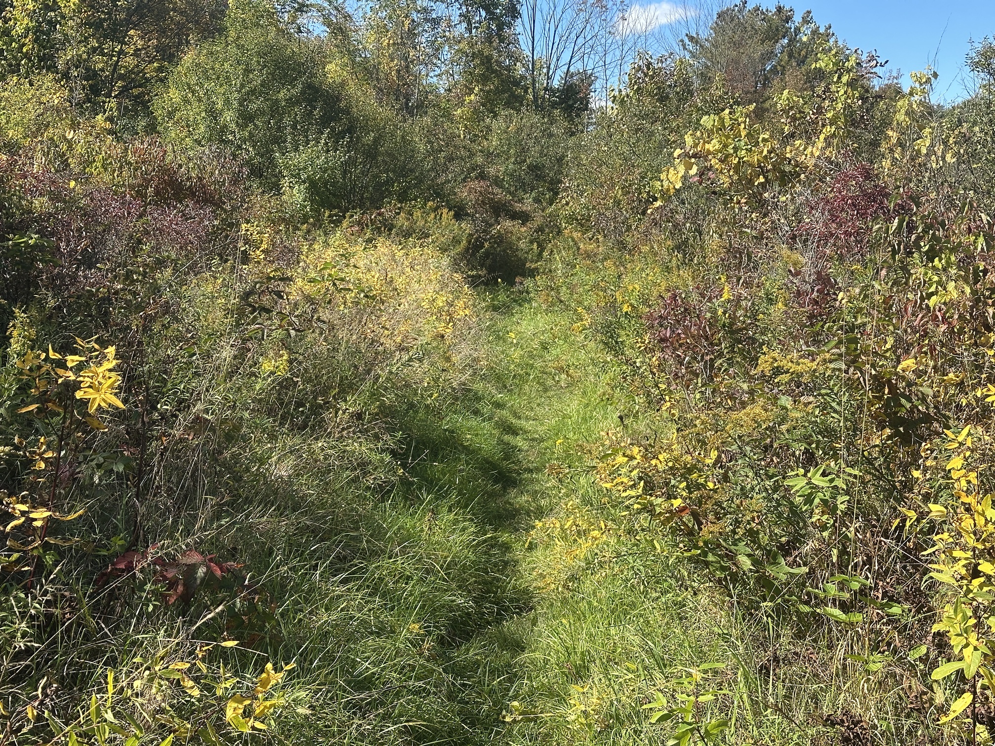
While I haven’t run it recently, the orange spur should be fine this time of year. It gets really bad in the spring during mud season; there was a section of shin deep water when I ran it in mid-March. It was fine (better than the South Hill Cider section during mud season) when I ran it mid-May and during Cayuga Trails at the end of May; during Cayuga Trails, the worst section of the Trailipop was in the meadow between Cayuga Inlet and Lick Brook.
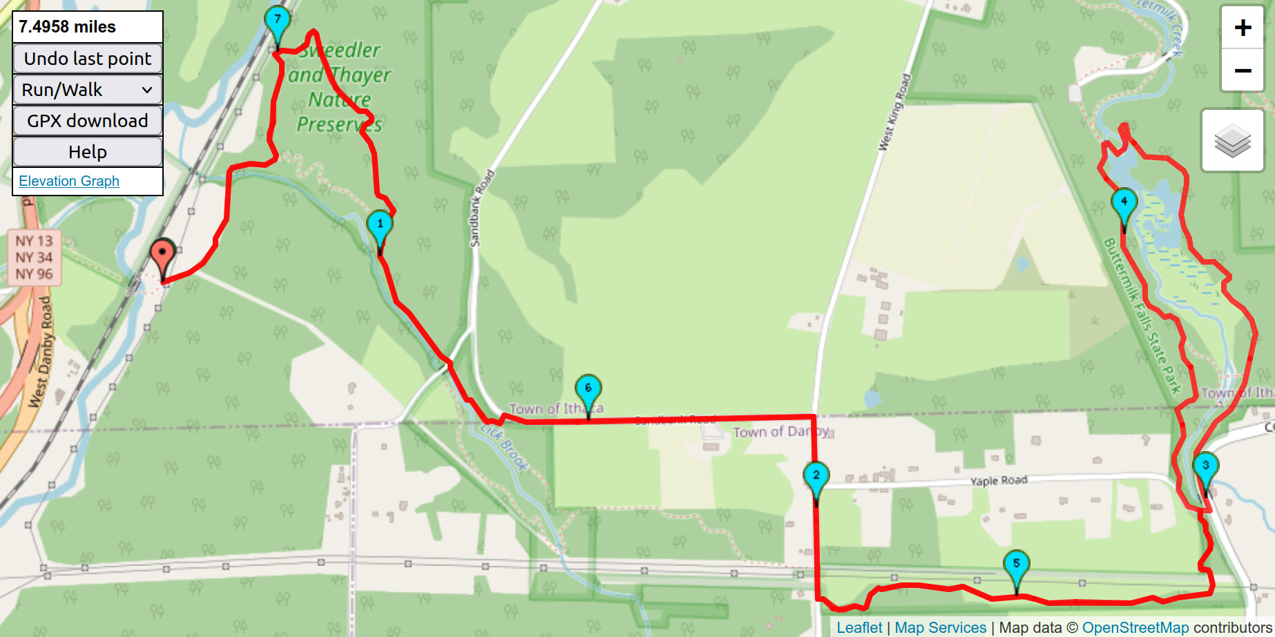
Mapping the distances out online using Open Street Map data, the FLT road reroute trades a bunch of trail for road and makes the overall course about 500 meters shorter. Pete’s suggestion keeps the road length the same (within 100 m) but makes the overall course about 800 meters longer. My vote is to use the orange spur per Pete’s suggestion but to move the start/finish to the far side of the railroad trestle (for simplicity but ~100 m longer) or to the junction on the far side of the railroad trestle where the bridge trail and inlet ford trails meet (slightly confusing but approximately the same distance as the original course).
I’m unfamiliar with the orange spur, but it sounds like we have a consensus to use it. Anyone running hard for time can start where the Bridge Trail and the Inlet Ford trails meet, as @cpetroff suggests—those who are just looking for a completion don’t have to worry about it. Chris, if someone starts at the trail intersection, do they finish there as well or at the parking lot like normal?
I looked into changing the RunGo directions, but it’s going to be too hard. (RunGo isn’t designed to make editing existing courses easy.) @Petorius, would you be up for creating a new version of the course? I don’t think I have the mental fortitude to handle it right now.
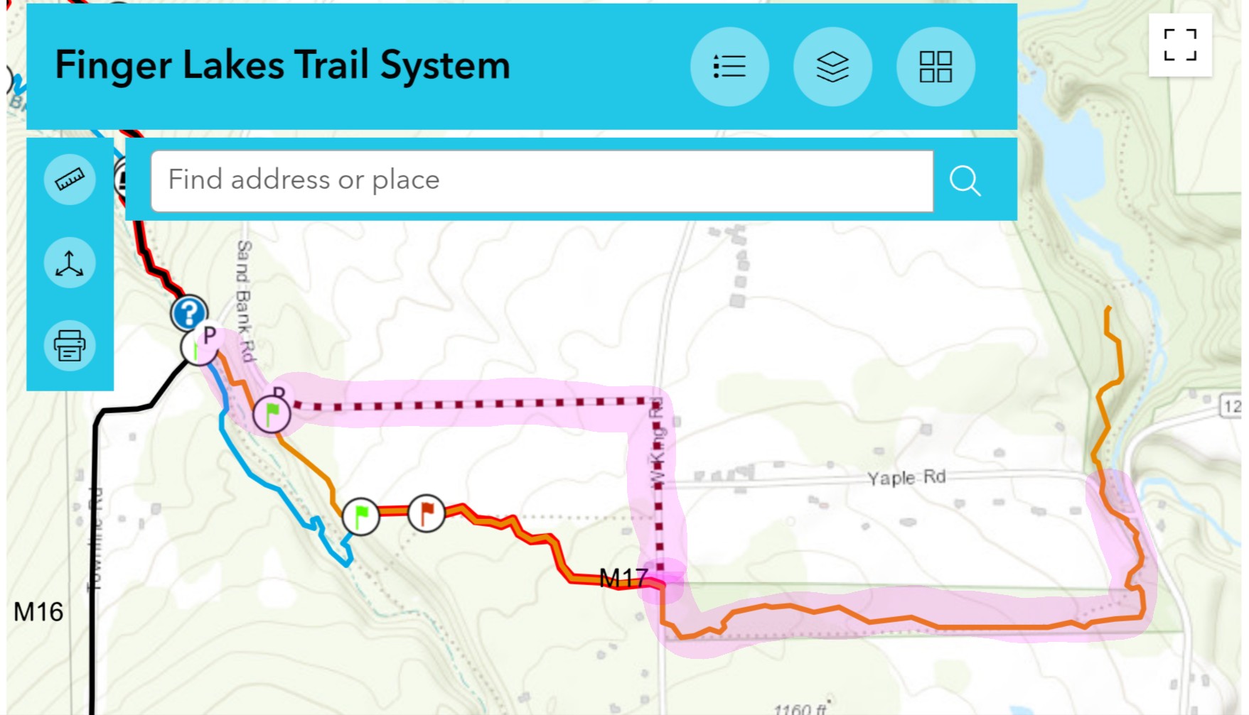
I was very confused about this, but the suggestion is to run the FLT interactive map suggested bypass (the red dotted line in my screenshot) but replace Yaple Road with the orange spur on the east side of West King Road. So the new route for the course would be the pink highlighted route below, yes? Basically a 1:1 road for trail/trail for road.
@adamengst, to keep the distance the same, start and end at the trail junction on the far side of the bridge. @heathercobb3, yes, your highlighted route is what I proposed.
[Edit: On further thought, the absolute closest distance wise would be to push the start/finish slightly further to where the gas line comes down the hill (the lighter east/west-ish strip on the screenshot near the start/finish). This location is where the Cornell Botanic Gardens Lick Brook Natural Area signs are on the way out and the Finger Lakes Land Trust signs are on the way back.]
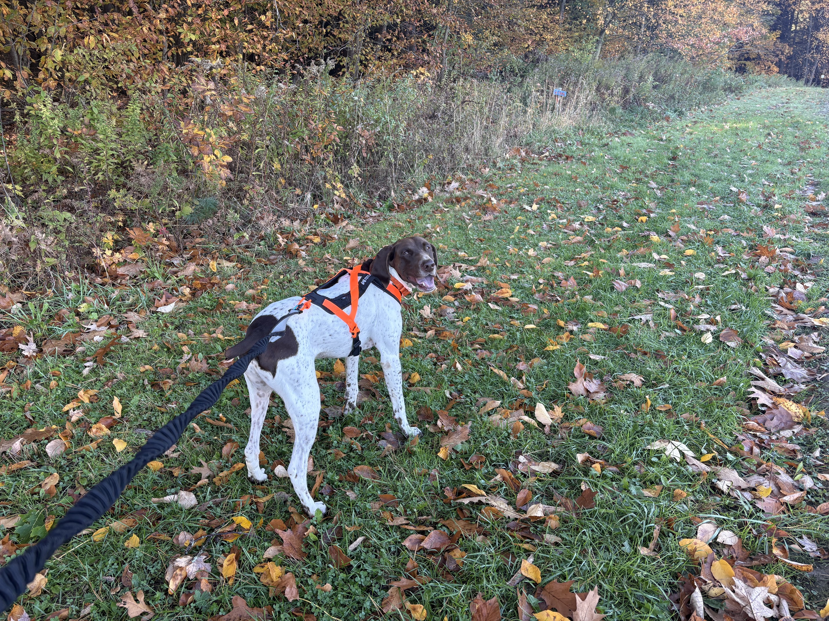
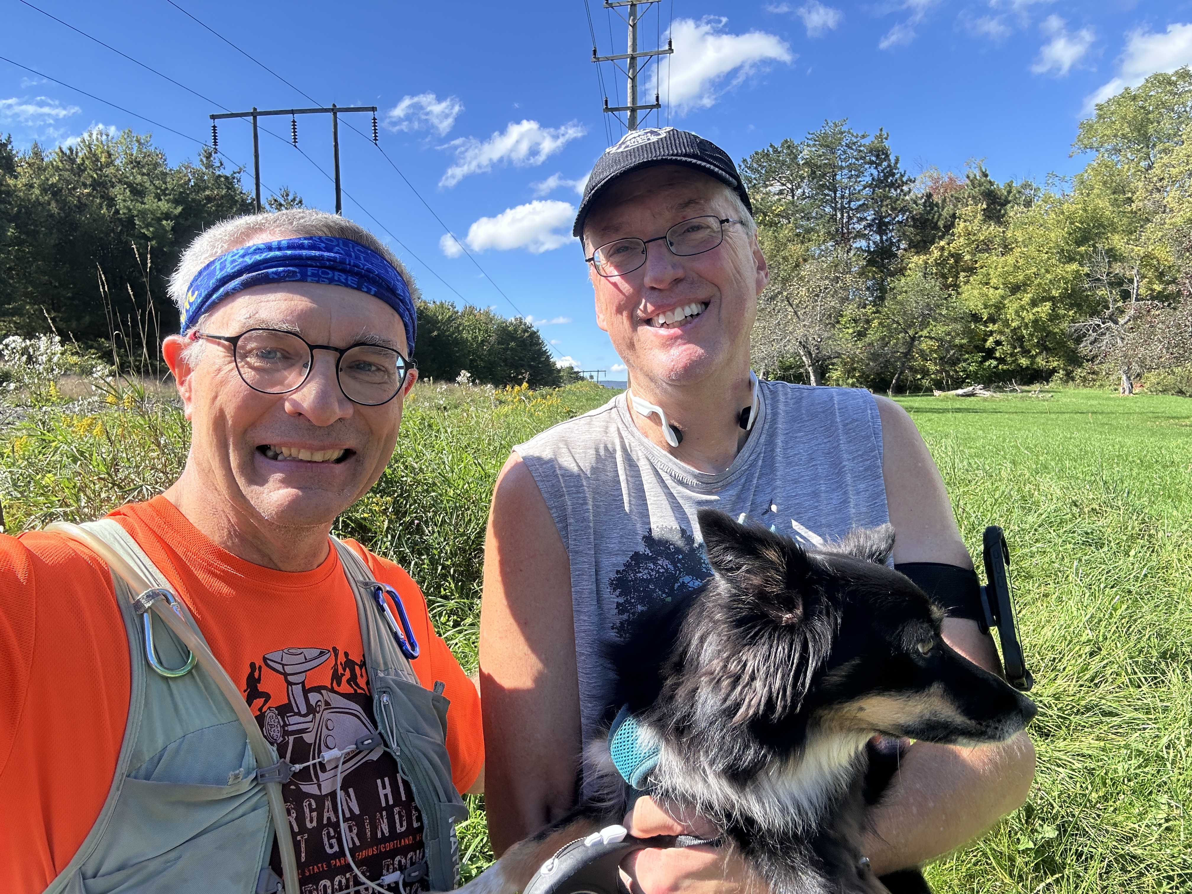
Jake and I tackled this course this morning. Not my favorite. Very tough going on the leaf covered, rooty trail and the acorns in Buttermilk are not to be taken lightly!
We took the orange spur to avoid the trail closure. For all the banter about it being muddy it was some of the easiest running sections. We ended up with a total mileage of 8.3 (we just started and ended at the parking area - so I knew it’d be a bit long). RunGo says the course is 7.4, and the challenge info says 7.5 and 7.7. So , we covered the ground regardless. Did I mention the acorns?
Walked a fair bit of the downhills. Jake still doesn’t understand “easy” - which gets a bit dicey on those aforementioned acorns. We weren’t going for time so tried to keep a conversational pace. Jake is more of the strong, silent type so there wasn’t much actual conversation. But we did discuss that he did need to make sure I made it out of the woods and ditching me wouldn’t be cool. I am indeed the one with the thumbs and the ability to use the can opener so he needs me if he wants dinner!
Anyway, did fall once. Hard. To Jake’s credit he did stop and make sure I got up. Probably going to feel that tomorrow.
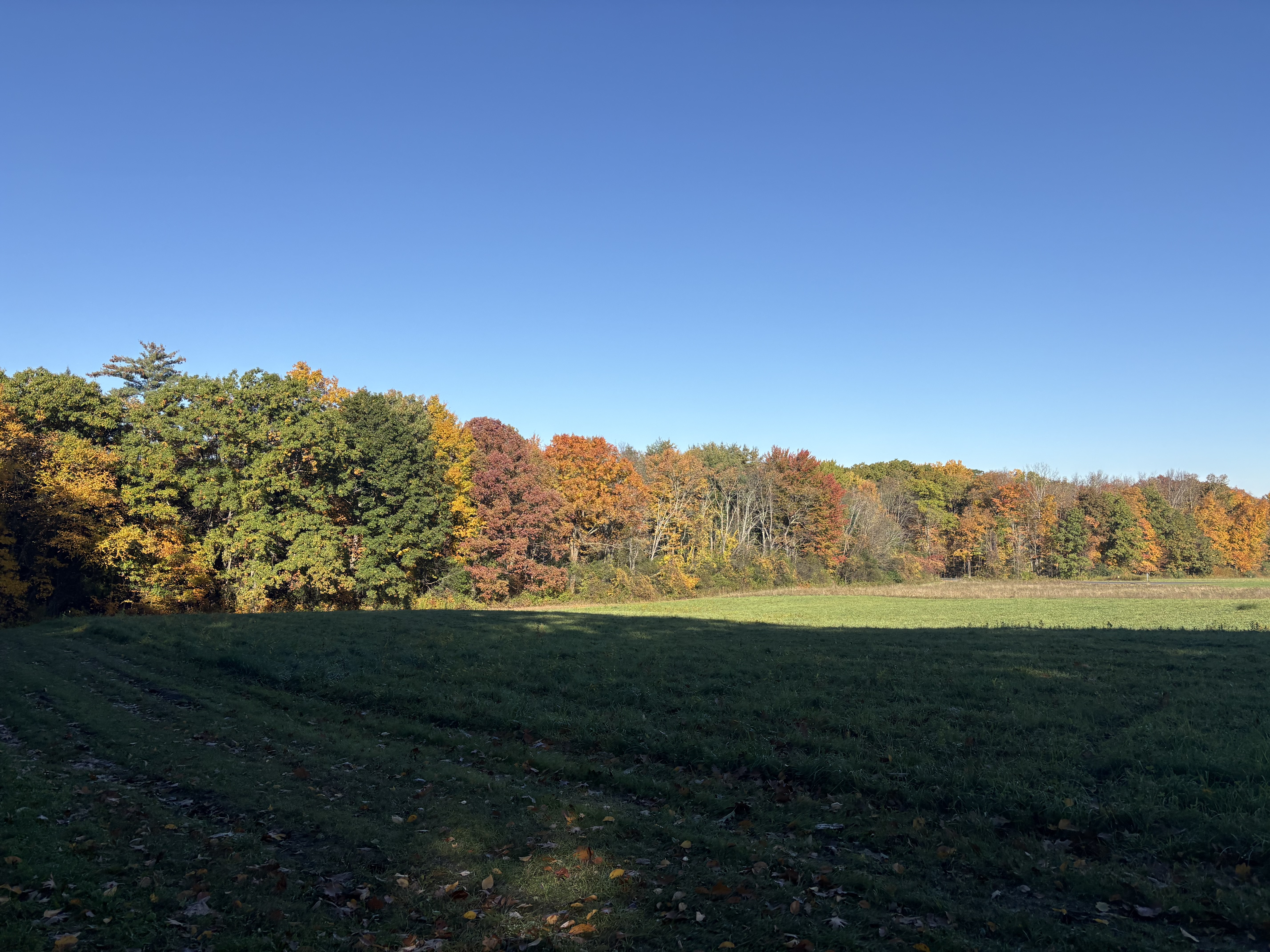
Leaves are still pretty but the most challenging course yet. Did I mention the acorns?
I had the morning off from work, so it was a good day for a double serving of Trailipop. I was severely overdressed for the first circuit, with wind paths, hat, gloves and two shirts, and finished quite sweaty. The second circuit, in just shorts and a single long sleeve, felt so much breezier and I ran at a breezier pace.
I did both circuits on the modified route — skipping the hunting closure next to the South Hill Cider orchards and replacing Yale Road with the orange-blazed singletrack leading into upper Buttermilk.
Per my watch, @cpetroff’s specified start/finish point is spot on for distance. I got 7.7 miles when starting and ending at the southmost signs marking the boundary between Cornell Natural Land and the Sweedler and Thayer Preserves at Lick Brook. The full distance starting and ending at the Underpass parking lot was 8.2 miles.
I agree with Chris that anyone running for time should start and end at the signs. I’ll modify the RunGo directions if/when I have time, but I know starting a new route from a new .gpx file can be a huge pain.
 , we covered the ground regardless. Did I mention the acorns?