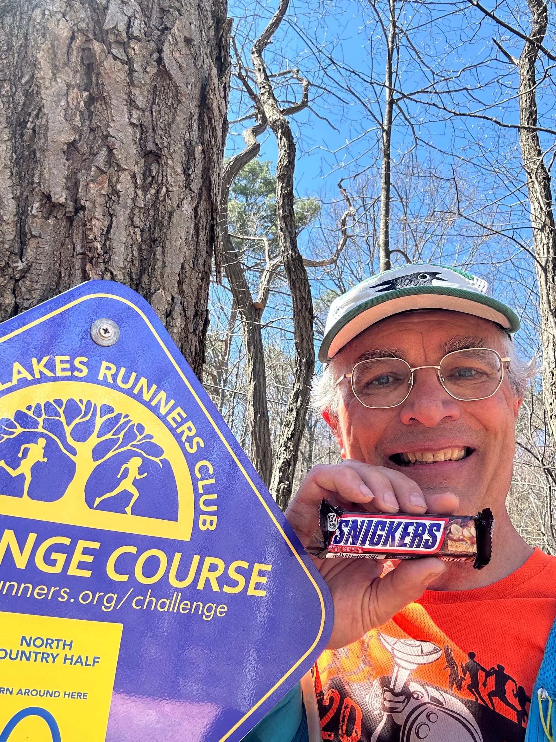
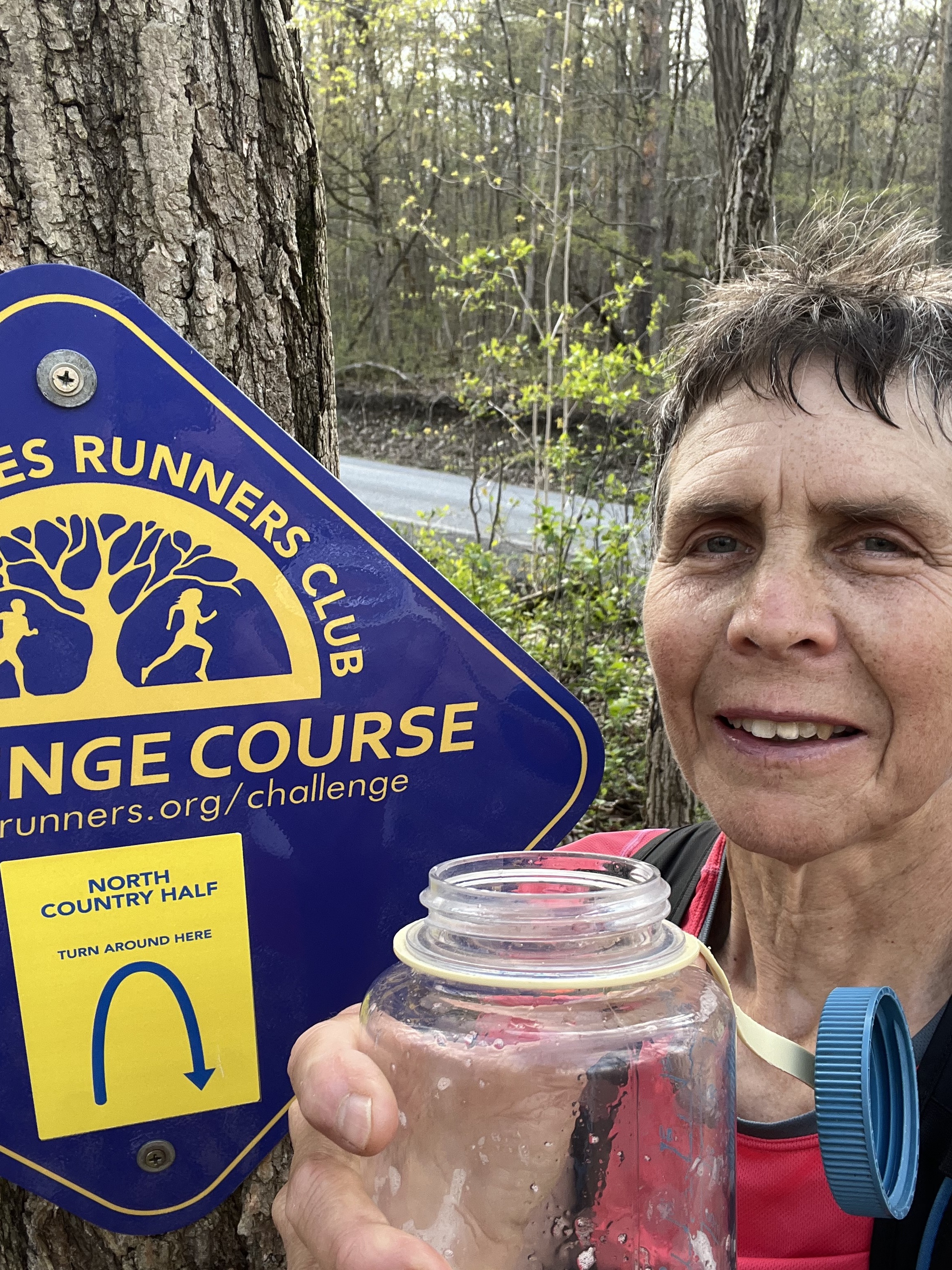
North Country Half Star Posts

Use this topic for posts that will collect community stars for the North Country Half course. You can also ask questions or make comments about this course.

Here’s how it works.

  • Click the “Post Using This Template” button below to create a new post with a Story heading and boilerplate text.
  • Replace the boilerplate text with your report for one or both sections. The header is key for distinguishing between posts and replies—don’t change it.
  • Your post must be on the same calendar day as your run as entered in Webscorer.

Story

To pick up a community star, replace this text with a write-up of what your run was like, a photo you took on the run, a link to your Strava track, or something similar. Don’t delete the Story heading above.

Story

Run number 2 of 5 for the nighttime Tough Trail Challenge took me to the longest and hardest course in the Challenge’s 5-year history. I started at 2:30 feeling quite buzzed and ready to put this one behind me. The thing about night running, especially on trails, is how it always feels like you’re moving way faster than you actually are. I thought I was moving steadily and hiking hard on the uphills when to my utter dismay I realized it took a solid hour and a half to reach the turnaround at 6.75 miles. The return leg has a 1,000-foot net downhill but I still barely broke 3 hours.

The return also takes past the Bock-Harvey lean-to. The spread out camping gear told me it was occupied. Worried I’d freak someone out, or possible wake their dog if they had one, I tried my best to tiptoe past before making haste down the smooth and fast yellow trail. I don’t remember much else after that aside from seeing a weird green cactus neon sign at the Pine Creek Campground on Rockwell Road, and getting paranoid that my car would be towed when I got back to The Underpass. I think I also face planted in the dirt on the homestretch but I forget.

4 Likes

Story

Surprisingly Great!
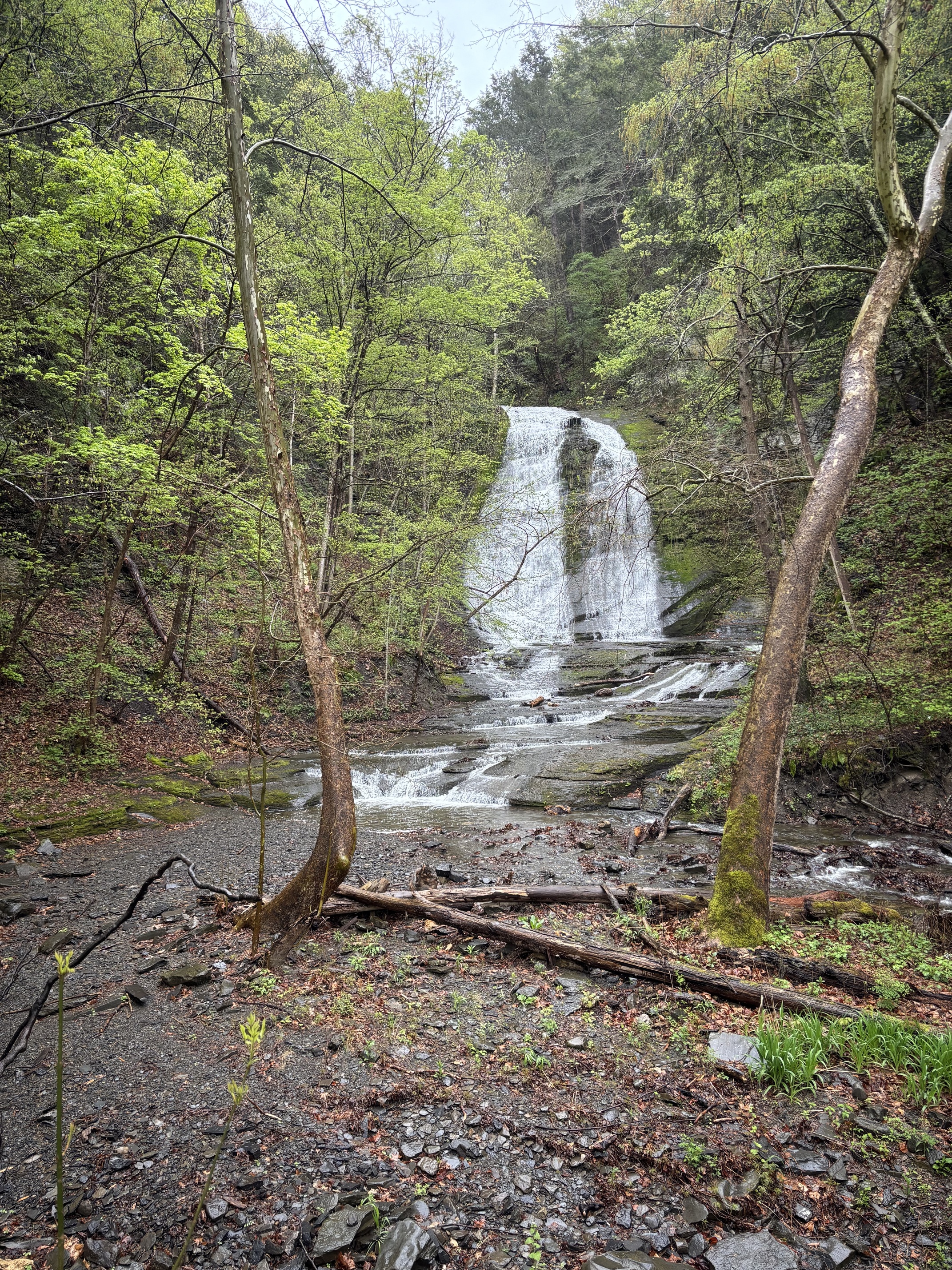
While this course has few particularly standout features, it really is a very nice trail course! The first part of this course to the wood bridge by the only directly visible waterfall is used in one or both directions for the Cayuga Trails 50 course and very familiar. However, today was my first time on the NCT past that bridge.

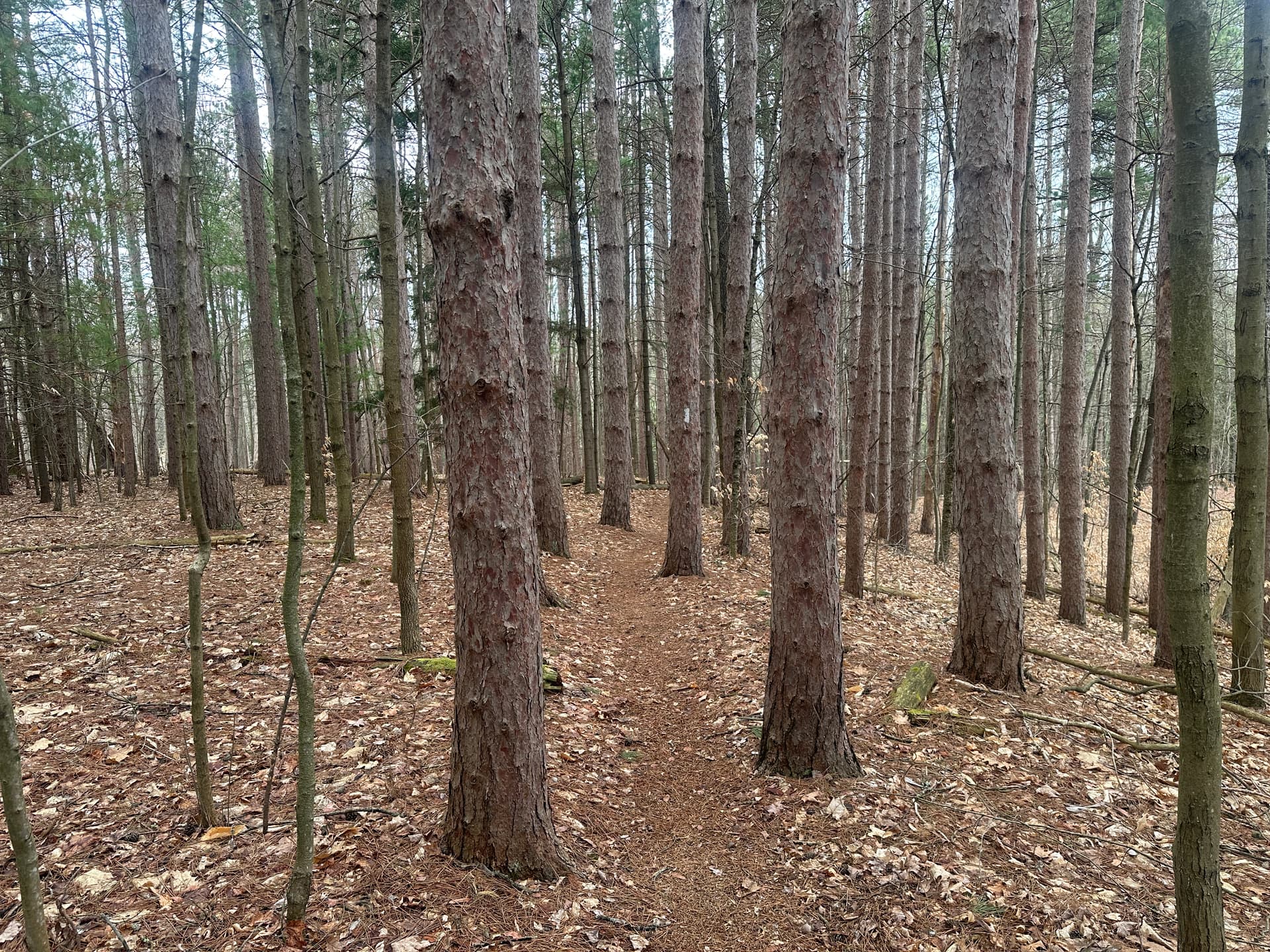
So much of the trail on the front end is on a soft surface of pine needles


and runs through some beautiful forest with many pine, and a good number of hemlock, red oak, cherry, hickory, maple, and ash trees. One section has some magnificent large ash trees and the trail passes right between two of them. I hope their demise from the emerald ash borer is many years away, but I am not confident in this wish.

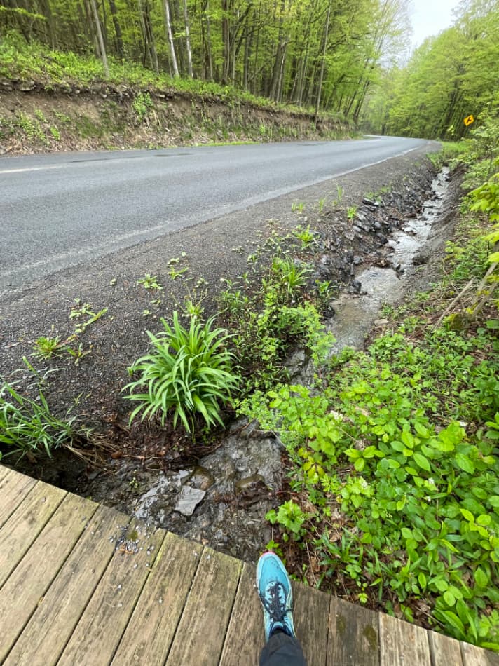
As I crossed over the bridge and began a small grassy climb in more open area, the first sun appeared and brought a very noticeable increase in temperature, but it left shortly after and eventually the weather dropped three rounds of rain before another round of sun for the last few miles.

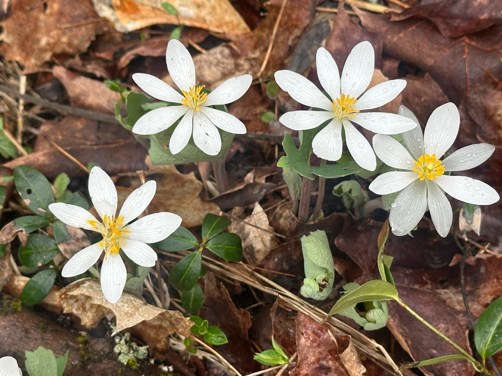
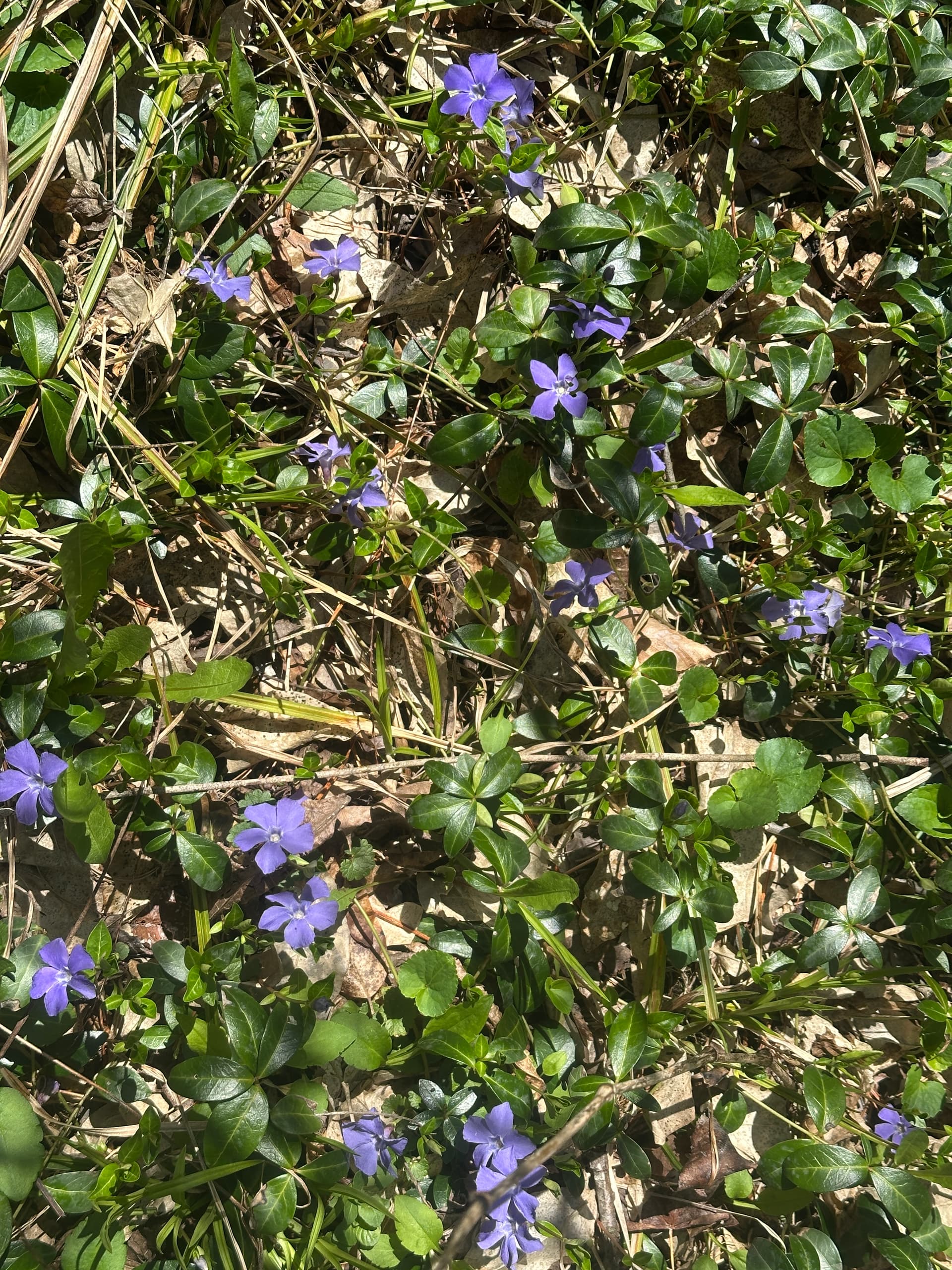
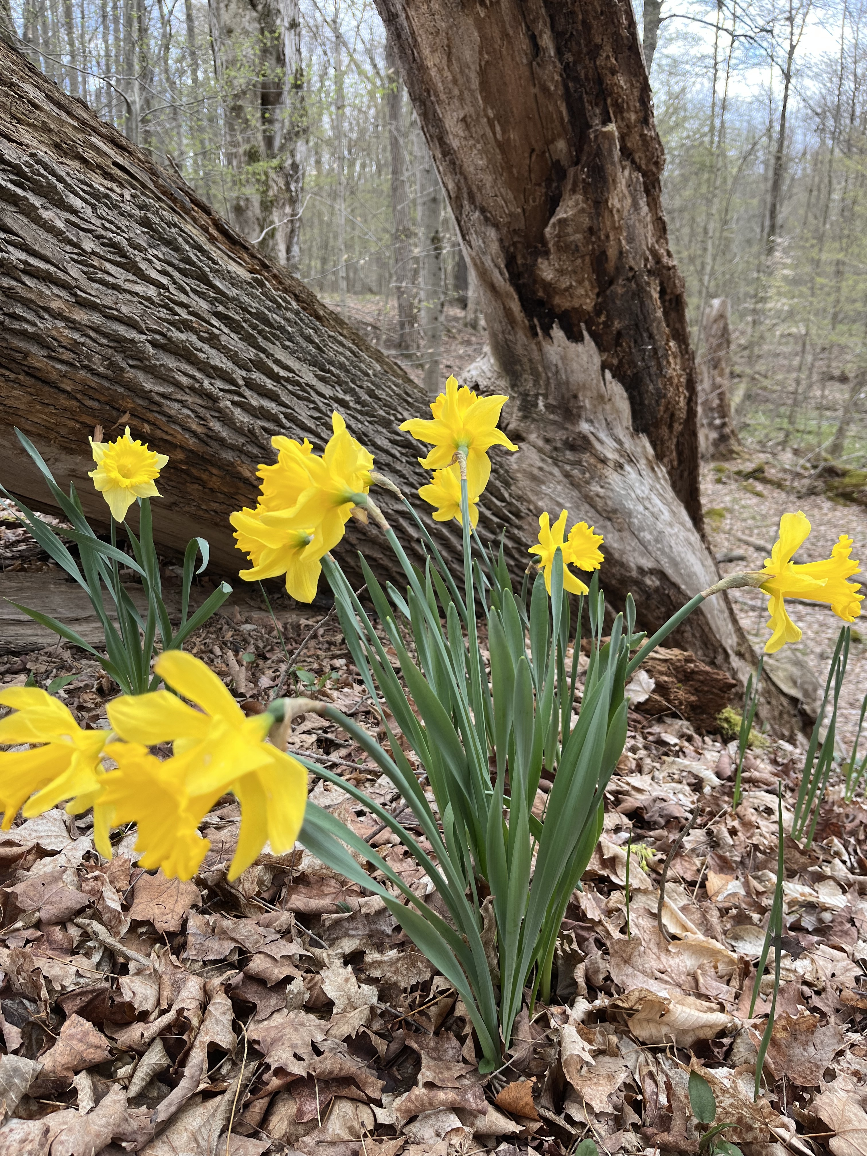
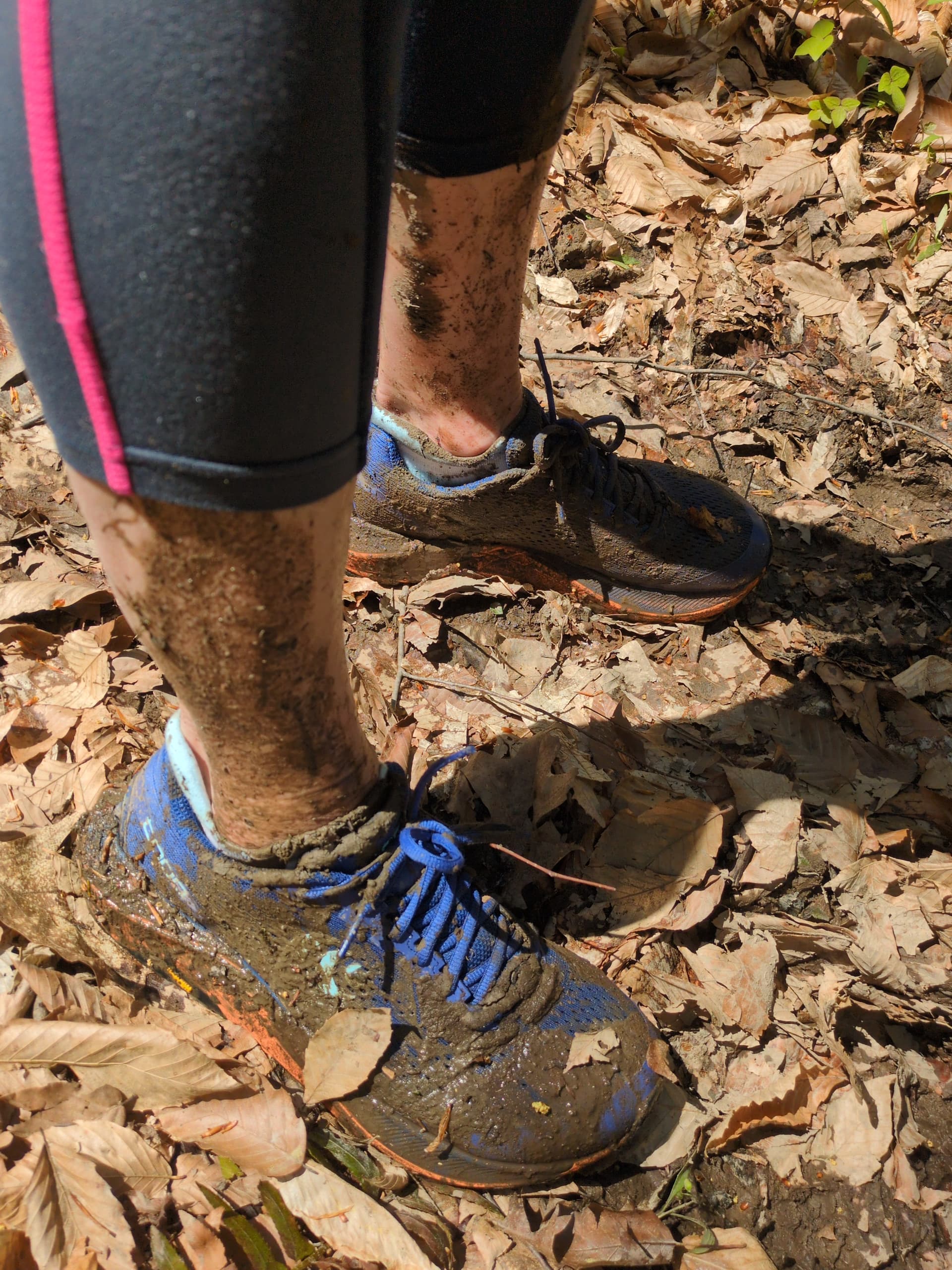
The trail after the bridge was typically muddier and wetter than that leading up to it. But, it includes more scenic woods, a stretch above Enfield Creek, more wildflowers,


and some open fields - one of which had six deer romping about in it but keeping all eyes on me.

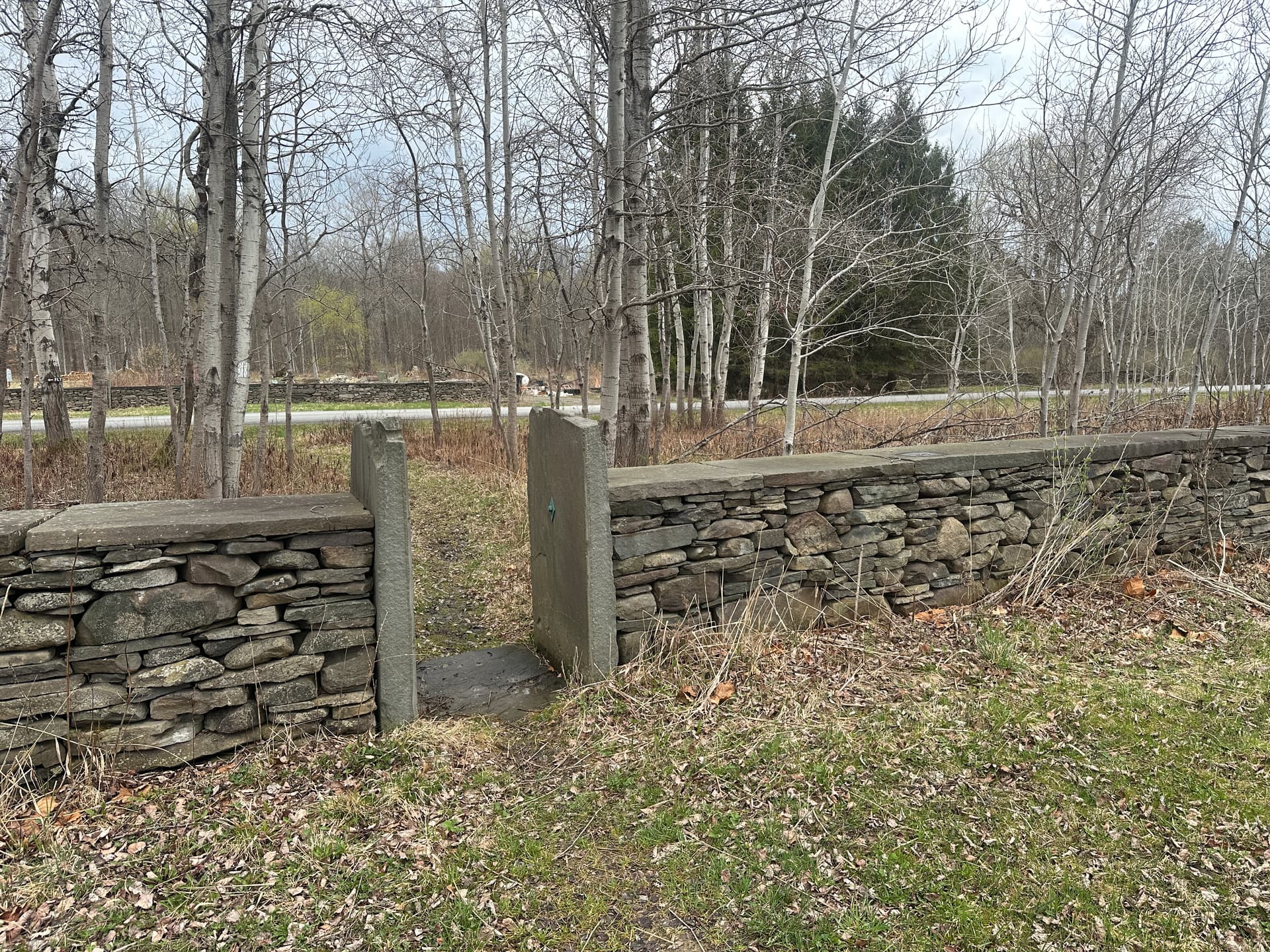
After going past the Treman Center (I had to look up what the fancy red barn was), to reach the road, the trail passes through this interesting portal


RunGo map shows the outbound trail continuing straight across the road. However, the blazed trail actually goes to the left on the road a short bit, crosses the road through a second portal like the one above, and then loops back around to the right through a wet and muddy rutted section. I went that way but it does seem the map could be followed more closely by going around the stone wall to right after crossing the road, if that is legit.

A second item about the RunGo map. After about mile 4, it deceptively shows absolutely flat elevation and reports total elevation gain of 953 feet. The GPX file on my AllTrails app reports about 1700 feet of gain, and my post-run Garmin track shows a whopping 2100 feet! I checked the track on the Garmin map and it did NOT wildly shoot me in and out of the gorge. So, bonus elevation gain this year!!!

Whether it was the drenching from the rain, or the developing runner stench in the sun and humidity, or the newness of the back half, or the muddy, wet, rooty, hilly course, I had a blast running this today!

Post-run, I swung around the corner to see if Dennis’s Ice Cream was open yet. Nope. Farther up the road I did find State BBQ and Bakery - a little pricey maybe, but the Carolina pulled pork sandwich I had was large and one of the best BBQ sandwiches I ever ate!

1 Like

Well done, Pete! I had planned to do Cayuga Cliffs after this one on my way to Seneca Falls but I was on a time constraint. I knew I was going to be in time trouble when I saw your posted time.

3 Likes

I haven’t been up there, so let’s see what @Petorius and @melissawallace and others say. The RunGo map does show a straight across for the trail but we can add instructions to clarify left-cross-right approach if that’s a lot better.

Yes, RunGo sometimes completely fails on elevation, so if you see it flatlining, don’t assume it’s right. To calculate the 8571 feet of overall climb for the back of this year’s shirts, I used other mapping tools. I’m pleased to hear about your 2100 number, because that’s exactly what I got with OnTheGoMap (and what’s in the 8571 calculation).

1 Like

I did the same as Dennis — went through both “portals” and followed the white blazes, which were a bit more left and to the perimeter than the RunGo map. Route finding was slightly challenging through this section and the Treman Center. We definitely didn’t follow the exact RunGo path, as it wasn’t clear if we were on private property. Following the blazes felt like the right thing to do and got us where we needed to be!

1 Like

Story

I ran this on the first day of the challenge with a friend. I think this course was not quite as difficult as the Treman/Lick Brook 13.1 from several years ago. The steeper climbs were in Treman Park and the rest of the FLT was more of a gentle climb to the turnaround. Really lovely woods and some nice mud and super fun to be on a new-to-me stretch of the FLT! The mostly downhill on the way back was lovely. We had a bit of rain but otherwise enjoyed 60-70 degree temps. We ended up going up Lick Brook and totaling 20 miles for the day, a solid outing! I’m sure I’ll run this course again, it was lovely.

2 Likes

I made the corrections on RunGo. I used the satellite map to place the turns as precisely as possible to eliminate confusion over which “portals” to go through. Runners just need to look for the FLT signs on each side of the road to know when to leave the road — I added that verbiage to the RunGo cues.

Re the elevation: I’ve run this one twice (the first was a preview before the Challenge opened) and got about 1,500 feet up and 500 feet down on the outbound leg, with the opposite on the inbound, for 2,000 total feet of incline, using my Suunto Race GPS watch’s barometer. The numbers were almost identical on each run and close enough to what the rest of you measured. I also measured 13.5 miles both times.

Compared to the Lick Brook & Treman FLT course from 2022, I think this one is harder, even with slightly less elevation change. The 4-mile out-and-back on the Lick Brook side from 2022 is now replaced with a 4-mile section that’s a lot more technical, albeit with a shorter hill to the turnaround. I like the Bock Harvey part though, and it will introduce people to some less-travelled trails.

Thanks, everyone! @Petorius feel free to tweak the instructions to recommend following blazes where appropriate too.

1 Like

Story

Magnificent!
As I said previously, I think this is a very nice trail. It’s long but enjoyable and worth the time.

Pine needles on a soft trail, some roots and rocks and small water crossings, beautiful woods, with some fields mixed in, spring wildflowers, the calming sounds of a a creek rolling over ancient rocks on its way to cutting the tremendous gorge in Treman SP, and today…glorious sunshine and one ‘root’ slithering off the trail. :wink:

The sign near the base of this maple tree in the Bock-Harvey Preserve calls it magnificent. I agree!


But, there are several other magnificent maples standing near it.

The wide grassy trail from the bridge near the CCC camp trail all the way to the road crossing currently is lined on both sides with many hundreds of these purple blooms

The turnaround came with a couple of rewards. First, it is a large net downhill from this point to the finish, and second:


That was lunch… and it Satisfied.

2 Likes

Story

Leaving this course for last seemed like a good idea, since these are some of my favorite running trails, and psychologically, it felt good to have an old favorite be the last one. But boy was it tough! I was so glad to get to the turn around sign!


5 Likes

Story

Steep, technical trails like this one are my least favorite part of the FLRC Challenge. I respect their place in the broader Ithaca running scene and their inclusion in the Challenge, but man are they hard on my legs (although I agree with Melissa that this was easier than the 2022 Lick Brook and Treman course).

My goal today was to finish in less than 2 hours, which is about 9-minute pace even if the course is a little long. I set off with an 8:38 opening mile, which in retrospect may have been overzealous given the 200+ feet of elevation gain. My legs were burning by the time I finished a much slower (and steeper) 2nd mile in 10 minutes flat.

The next few miles were more tolerable. There was still plenty of climbing, but there were also some descents that gave me a chance to recover. I reached the turnaround at 1:00:59. I figured that going back down on the return trip would be at least 2 minutes faster, so I was in a good position to break 2.

Sure enough, the splits on the return trip were much faster. My legs felt much better as well and I was able to move fairly quickly over some of the less technical descents. I finished in 1:55, safely within my goal.

Epilogue: After uploading my run to Strava I noticed that I had earned 8th all-time on the Hines Road Climb segment. I glanced at the leaderboard and saw a familiar name below mine in 10th place. One @adamengst had run this 0.57-mile segment nearly 10 years ago in a slow, plodding 5:57. Today I bettered that by a whopping 2 seconds, thus exacting my revenge on Adam for making me run this course.

4 Likes

I kind of remember that run, which was an easy one with Joe Bazler, Jay Hubisz, Sean Nicholson, and Steve Folsom. We ended up sitting in the creek at Upper Treman afterward.

I will note that the fastest time on that segment is owned by Scott Wehrwein, a friend who was one of the key members of the Timing Team before he got his PhD. He must have been hammering, but he had the legs for it.

1 Like

Story

Ran this course for a second time this morning and it was much muddier than last time! Another Saturday, another cool rainy long run.

22.5 total for the run with some Lick Brook and Buttermilk. The waterfalls were raging!

3 Likes

Story

Mud, mud, mud! If you’re a fan of wet and muddy runs, this is the perfect time for this course :star_struck: I left my phone in the car because of the rain, so no pics, but really enjoyed exploring more of the FLT with friends today. So beautiful out there. Hopefully I’ll get back to this one again before Sept.

2 Likes

Story

Dior and I ran a very muddy north country half this morning. Most of the mud is beyond Woodard Road.
Dior is very proud to say that she has now completed this year‘s challenge!

5 Likes