North Country Half Star Posts

Story

Well, they don’t call it a challenge for nothing! The upper part of the trail is still pretty muddy, but not as bad as I feared, hence my before and after shoe pictures aren’t as impressive as I’d hoped, @Paula_Klaben 's shoes seemed to fair much worse. Jamie is boasting an injury from his fall, but at least he only fell once this time. I was grateful for the cool weather and did not overhead in my long pants.


I enjoyed the scenery on this course. Running through the pine sections is just lovely, and not muddy. The fields of wild Geraniums are gorgeous, and I loved spotting the May Apples and Jack-in-the-Pulpits.


In addition to mud there is a fair bit of poison ivy on the course, and downed trees and branches. The trails are quite overgrown so tick repellent is a must.

Thank goodness for RunGo but I still got off track a few times and had to stop, pull out my phone, and reorient to re-find the trail. Except for the little loop on the blue and yellow trails, it is safe to just follow the white blazes.

Enjoyed passing @gillian-haines-sharp, @krishainessharp and Dior twice :blush:, and @Tristan_Lambert once out on the trail, and @klaas back in the parking lot.

4 Likes

Do you remember what part of the course has the poison ivy? @gillian-haines-sharp

Story

https://www.strava.com/activities/14610974909

Stupidly hard so did stupidly -as in I hadn’t done anything close to this dumb in months.

  • pluses:
  • met all 3 goals: finished; without getting lost; and without falling
  • jog/hike up “run” down strategy worked well - even got a negative split!
  • Maurten fueled me well - bottle of 160 on way up 2 gels on way down
  • not so plus:
  • HRM never connected -until I was back at the car
  • RunGo directions were wack for awhile - finally figured out they were lagging me by several hundred meters - the distance between the veer right by Butternut Creek road and the right into thomas rd - I got warned about the former as I did the latter. Oddly enough GPS must have caught up then as next instruction was right in time
  • phone decided to stop RunGo with about 3.67 miles to go. and as always trying to restart RunGo on an out and back course failed miserably
  • lots of mud and brambles after leaving state park.
  • other notes:
    • FL trail vanishes shortly after crossing Hines Rd - appears to have been washed out. Next trail blaze is visible so can figure it out
    • on return, shortly after turning on blue trail, come to small ampitheatre - or perhaps a camping lean-to..no blazes, but need to turn right through seating - and then turn right immediately upon entering farm field
1 Like

Story

Jurassic Ferns
I knew, after the 80+ degrees added some time to my Abbott Ascents finish, that North Country Half was going to be a long one this afternoon…which was perfect, because it would help start acclimating me for the impending summer heat.

The cooler woods were nice but it did heat up in the sun of the open fields. I had reapplied the OFF! again before starting out, and was very glad of it! A few blow downs to bypass but all of the grassy fields were quite overgrown, with some weeds alongside the trail as tall as my armpits.(I had a brief bout with Lyme disease 15 years ago that was miserable enough. Since then, the only times I’ve found ticks on me after a run occurred when I forgot to apply OFF! DEET and other chemical repellents may be a bit nasty, but they are not close at all to the nastiness of Lyme disease.)

The course was muddy in places and wet in just a few. I did get my feet wet but they dried pretty quickly. The mud and wet were much worse the first time I ran this in April.

Today’s run had fewer varieties of wildflowers but some beautiful fungi:

and some large “Jurassic” ferns. These were easily 2+ feet high and the largest I’ve seen this year!

After finishing North Country Half, my body said that was enough for the day. It was still a day worthy of a delicious treat from the Dryden Creamery on the trip home:


Maybe it was just the circumstances, but this was just the right amount of cold and the best ice cream of my year so far! Thank you, Leonard family!

2 Likes

Story

And that’s a wrap! The North Country Half completes my 2025 Challenge.

It was super hard. The first several miles were lovely. Several downed trees needed to be negotiated, but the trail and RunGo were easy to follow. Around mile 5, there is a newly cut white trail, and the older RunGo trail was clearly blocked off. When we got to Hines road we spent a lot of time trying to find the trail on the other side of the road, wading through head high brush, including plenty of thorny things, and simply could not locate anything resembling a trail.

After several painful scratches and with blood running down our legs, we headed back to the road and hiked up to the turn around. This added extra mileage. At the turn around, we were able to find the trail back down to the exit on Rockwell, but on trying to dip back into the trail back off of Rockwell, we ran into more head high weeds, thorns and kept losing the trail. So we backtracked back out to the road and around the corner to Hines, then back on the return journey.

The return, after Hines, was uneventful. Lots of thunder and dark skies, but very little rain.

It was a good shakeout for some of our newer hiking gear. The nice parts of the trail are really nice, but given the amount of trail finding required and seriously overgrown trails at the top, this is not for the faint of heart. Bring lots of water and consider stashing water ahead of time at the turn around!


3 Likes

Sorry to hear that the trail has been changed from RunGo. @Petorius, maybe you could take a look out that way and fix things?

Last Thursday I ran the trail out to Hines Road and turned around there. I don’t remember any reroutes up to that point. Next time I do the full course I’ll edit RunGo if needed.

2 Likes

Story

I slogged through this one today. Starting late (for me) at 9:15 a.m. allowed me to battle the mid-to-late morning heat. As a rewarded I was soaking wet with sweat most of the way and ended with some moderate chaffage. All this heat training has me considering registering for Wineglass so I can take advantage of that extra blood plasma in early October!

I last ran the FLT to Treman’s west end only a week ago and was surprised to find a nicely groomed FLT reroute for the quarter mile just east of Hines Road, starting at mile 4.7 of the route. We no longer have to run through some’s back yard followed by 200 meters on asphalt. Instead, the new section reaches Hines Road and you simply go straight across and over the wood planks. Same thing on the return trip — a nice new FLT sign is easily visible at the trailhead from across the road. @lbt1 where did you go when you got lost looking for the trail? As of today, you just go straight across the road and look for whole blazes on the other side, regardless of what RunGo says.

As a reminder to all runners, RunGo isn’t accurate when there are trail reroutes. Always follow the marked trails (in this case, white paint on the trees and sometimes on wooden stakes) and be aware of any wrong way indicators, such as private property signage or piles of downed branches blocking unmarked trails.

@adamengst I did my best to update the RunGo directions for that little section. It’s tricky without the trail reroute visible on the RunGo map. I plotted the points as accurately as I could, using my Strava activity map as a reference.

4 Likes

Thanks for scouting and rerouting RunGo, @Petorius!

1 Like

Hi Pete - We went straight across the road through the little stone portal. We looked for tree blazes and on seeing one, pushed through brambles and weeds to (hence all the bloody scratches) to get to it, once there under trees, we could not find a track or subsequent blazes. After several minutes slogging around and getting turned around, we just gave up. It was super hot… maybe we just didn’t look hard enough…

It sounds like you started off the right way. Yesterday morning that part was mowed and the path was very easy to follow, save a muddy detour around a downed tree. I think you got scratched up on an overgrown part that has now been shortened to about 1 inch tall grass.

Wonderful! So glad to hear that it’s been mowed. While I won’t make the attempt again, that will surely help others!

Story

We chose the coolest day in July to hike the longest trail. :grin: It was lovely
We too noticed the rerouted area. I guess Treman Center doesn’t want prolly wondering through their property anymore. Shame I always enjoyed looking at the area especially after they added the pond. But I get it. :woman_shrugging:
The reroute does make it so much easier to cross.
A few years ago when we first discovered the trail Matt and I also had a hard time finding the connection point, which used to go through the stone quarry. Another interesting change, is the lean-to area is now fully canopied :flushed_face: when I was last here this trees weren’t there or may have been tiny saplings but now it fully covers the area. Anyway we enjoyed a quick dinner there.


3 Likes

I also have an excellent picture of that right angle tree!

4 Likes

Story

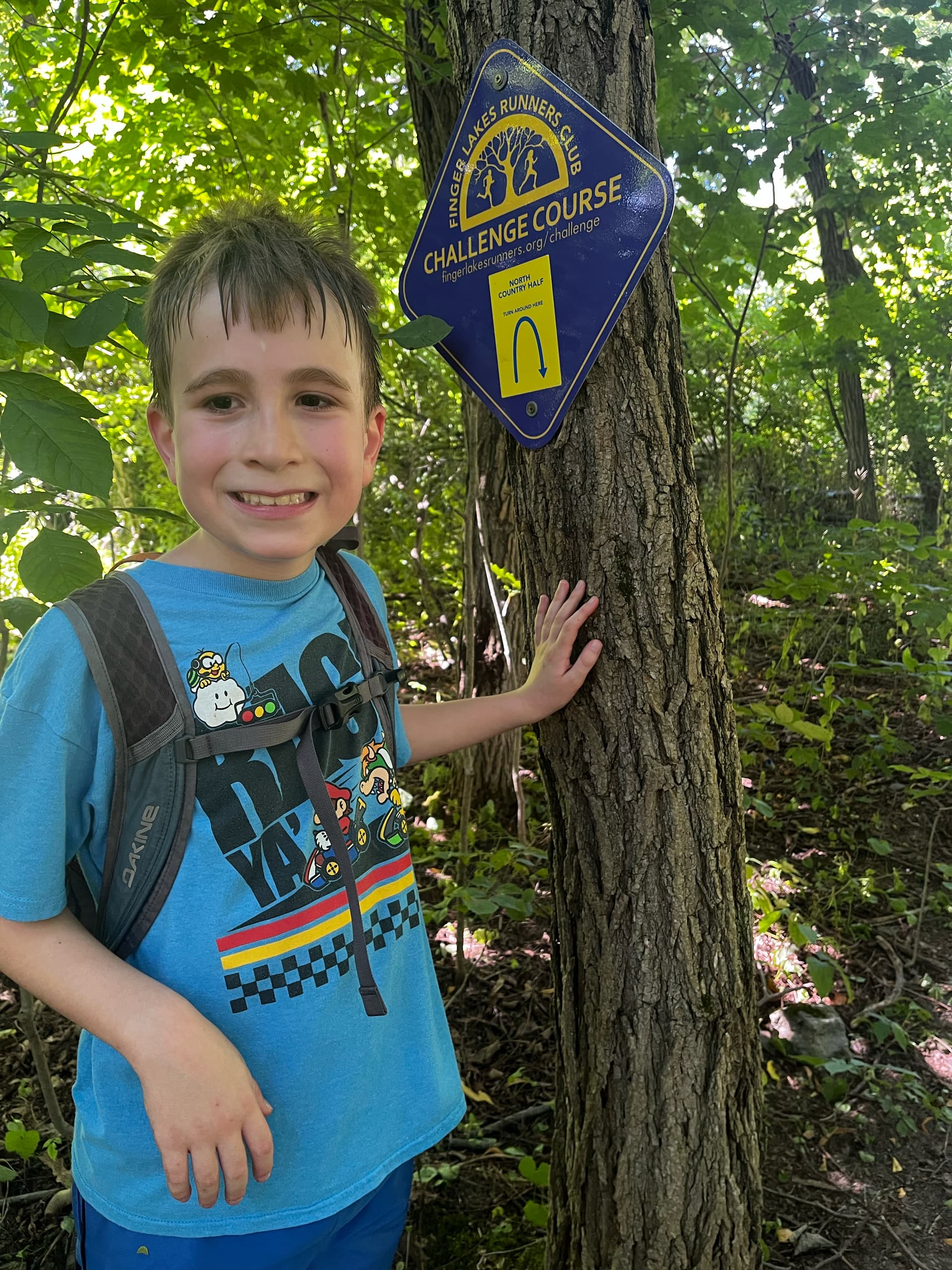
The trusty weather app said it was going to relatively cooler and less humid today, so Simon and I set out early to tackle this big course - the last course of his ‘personal’ challenge. He’s been doing the FLRC challenge every year since he was six, and each year he does the number of courses that matches his age. He’s nine years old now, so this year is his last year in the ‘junior’ division, and he needed to run nine courses to complete the challenge. We opted for this one over Triple Humps because of the speeding cars and poor sightlines on Mt. Pleasant.

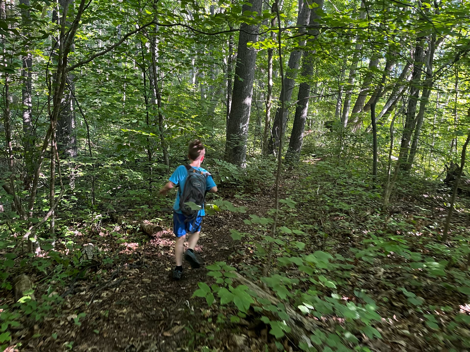
Simon set off at a strong pace - his plan was to hike up (and down) the steep hills and jog on the flatter spots. Most of the first part of this course is ‘steep hill’ so we hiked a bunch!

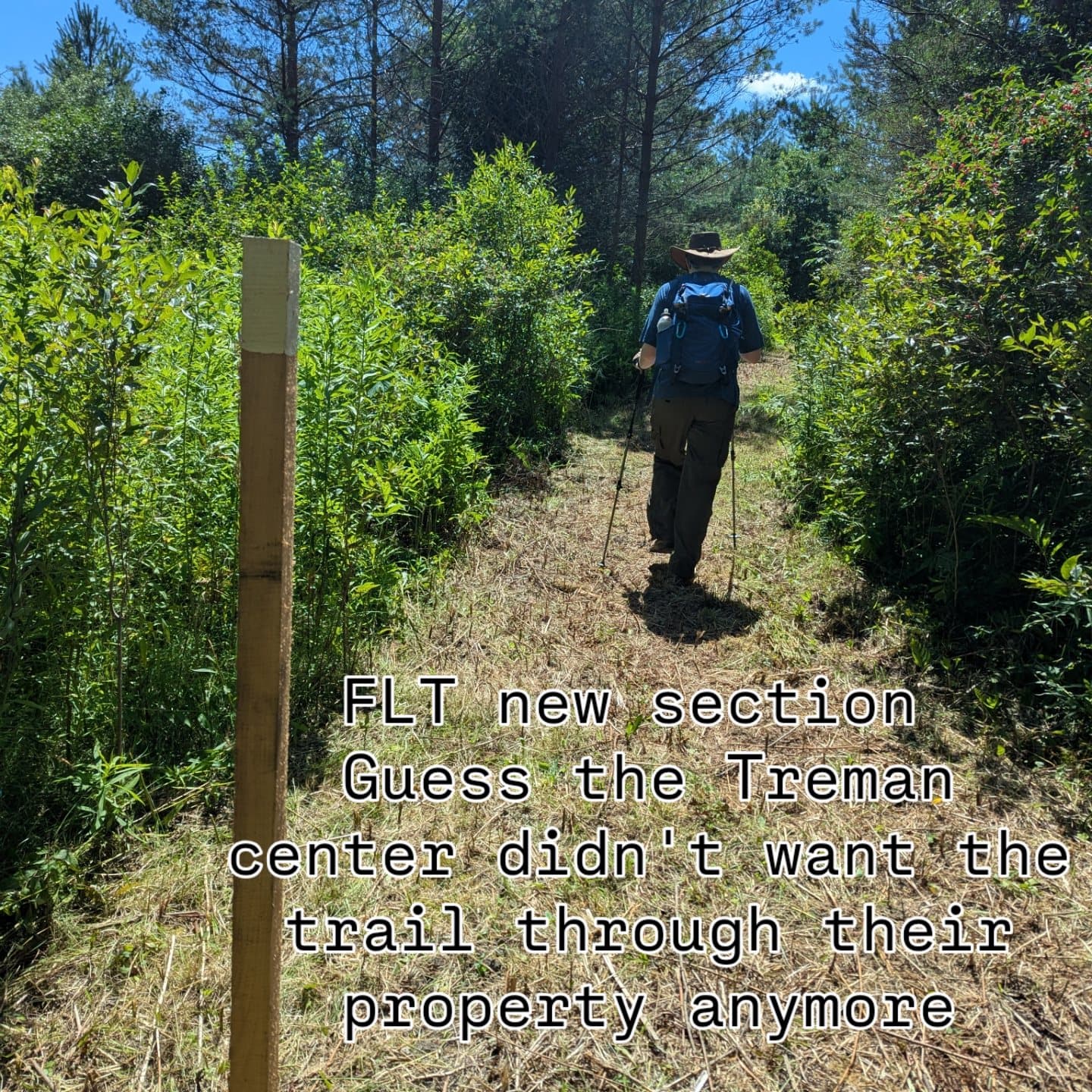
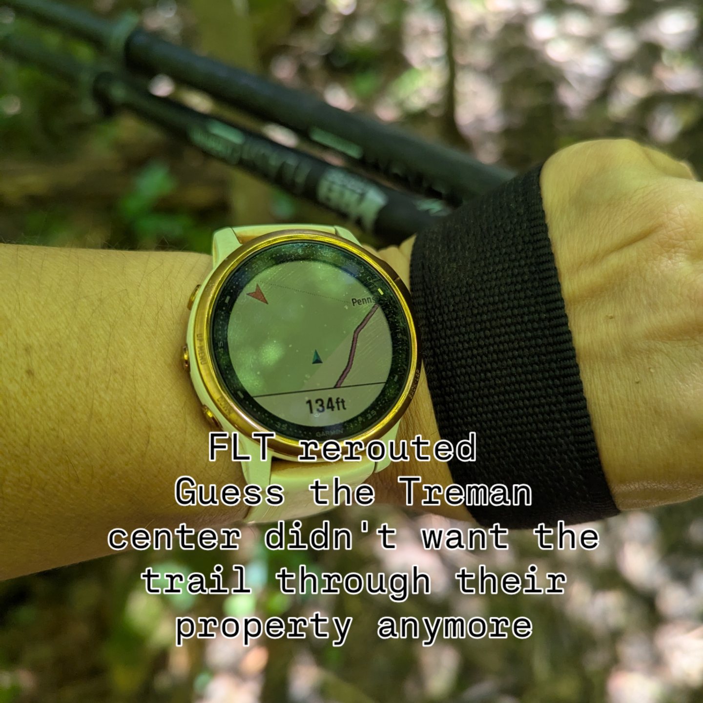
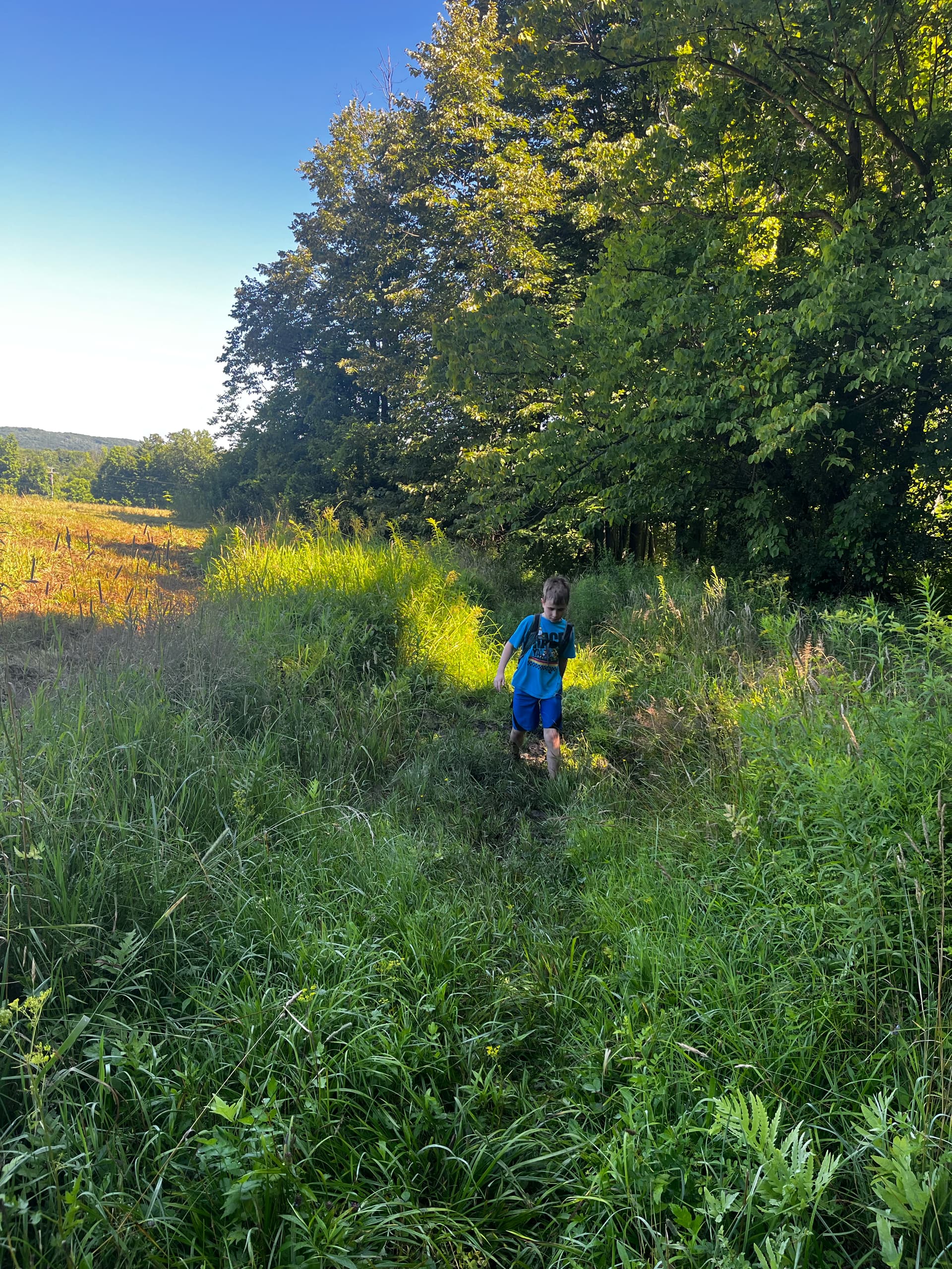
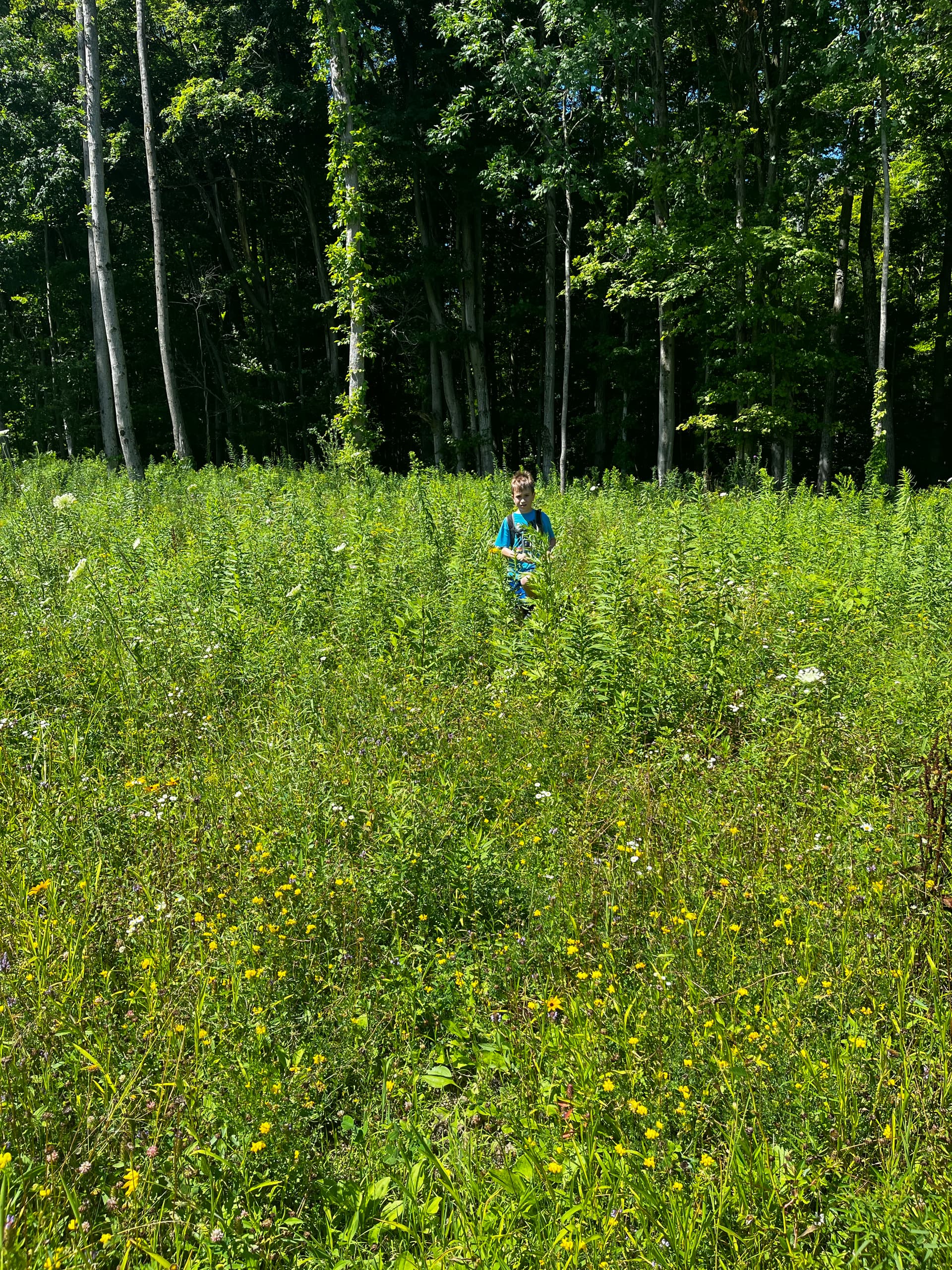
I ran this course back in April, and the FLT has been rerouted a bit in the meantime, near Hines Road. This reroute avoids some mud and makes it easier to see where the northbound entrance is to the FLT off of Hines Road, which would have prevented the 1/2 mile detour up the road I took in the Spring - so hooray for that! On the other hand, the rerouted portion is all ankle-busting, sun-exposed, sketchily-mowed, frost-heaved meadow, which is not super fun to run on.

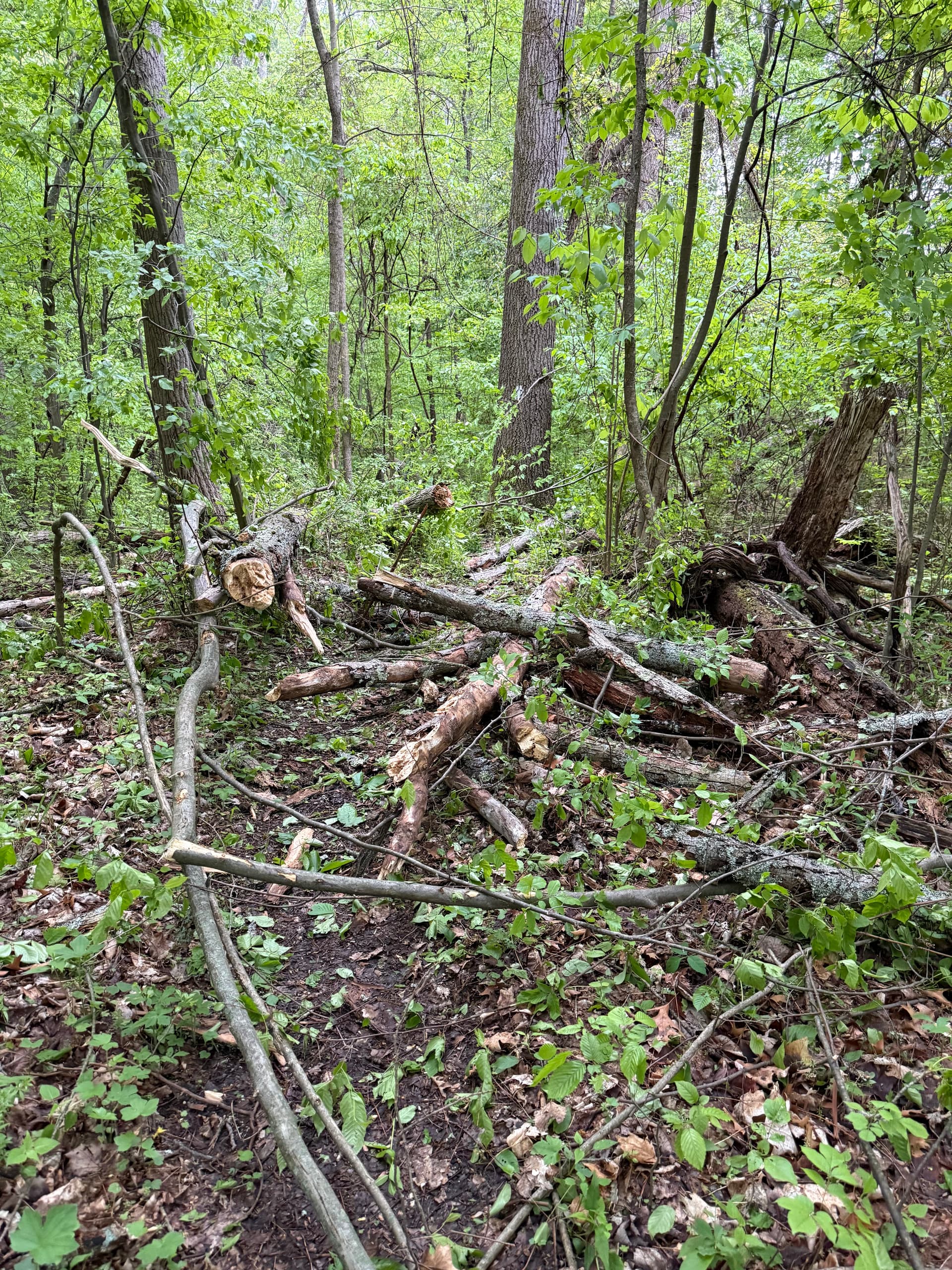
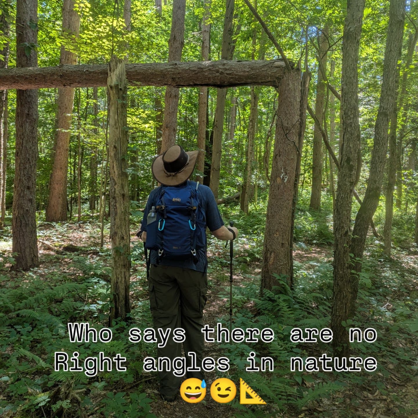
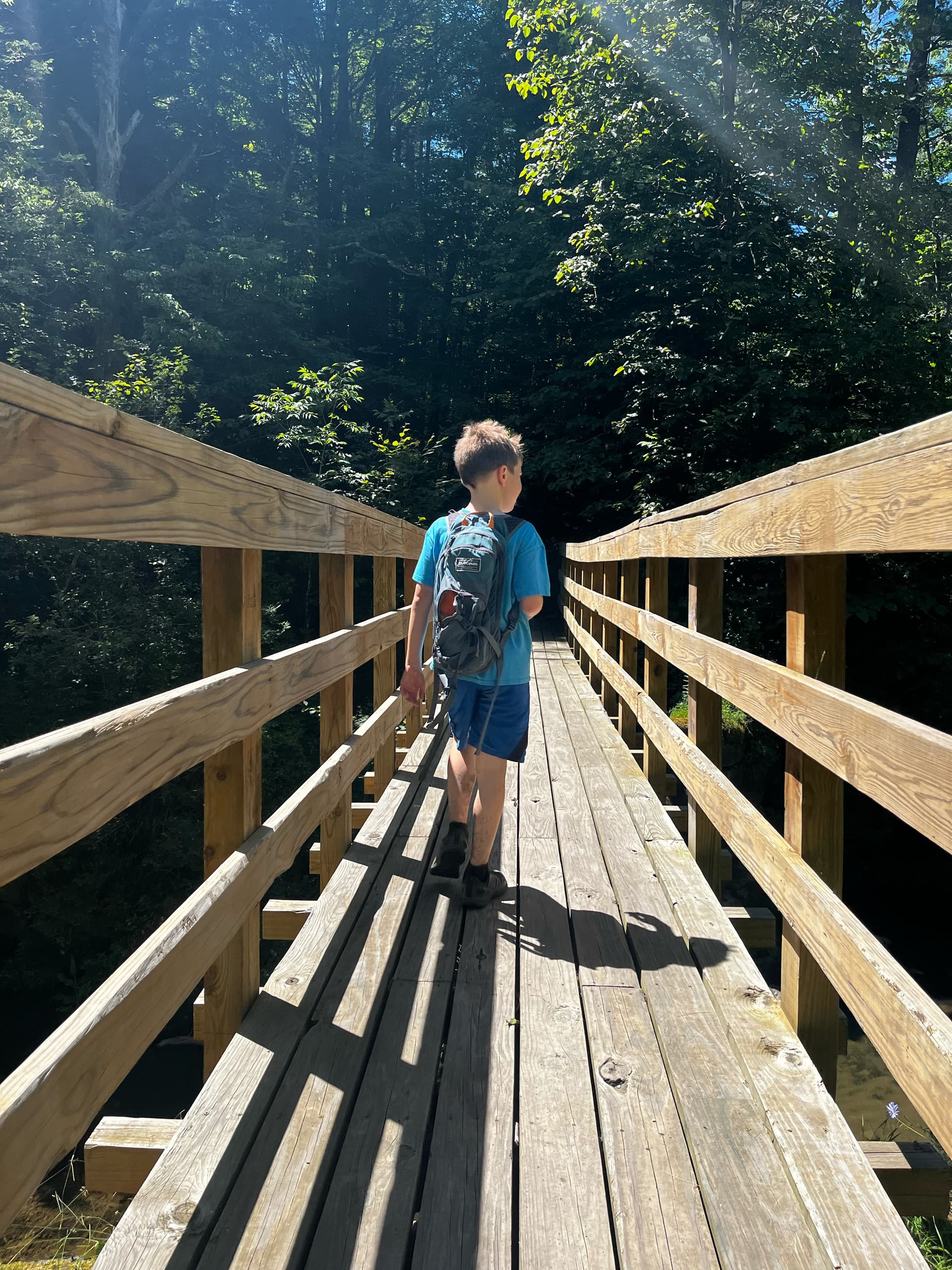
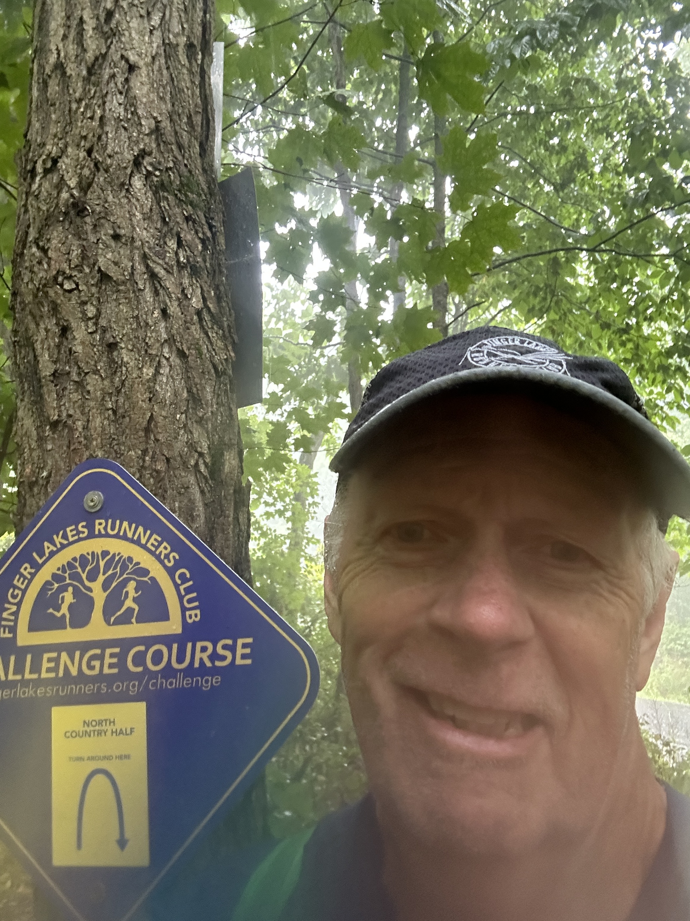
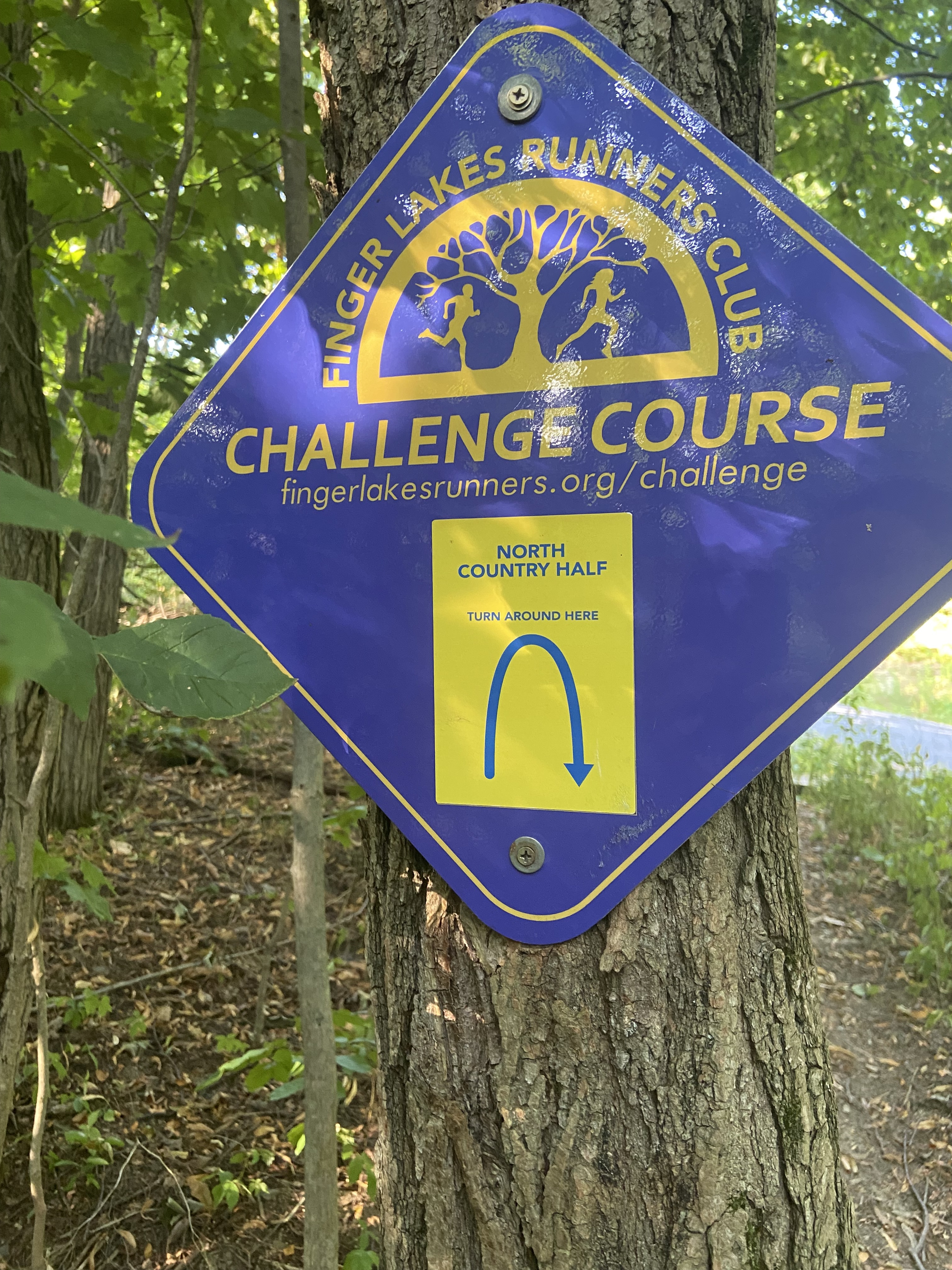
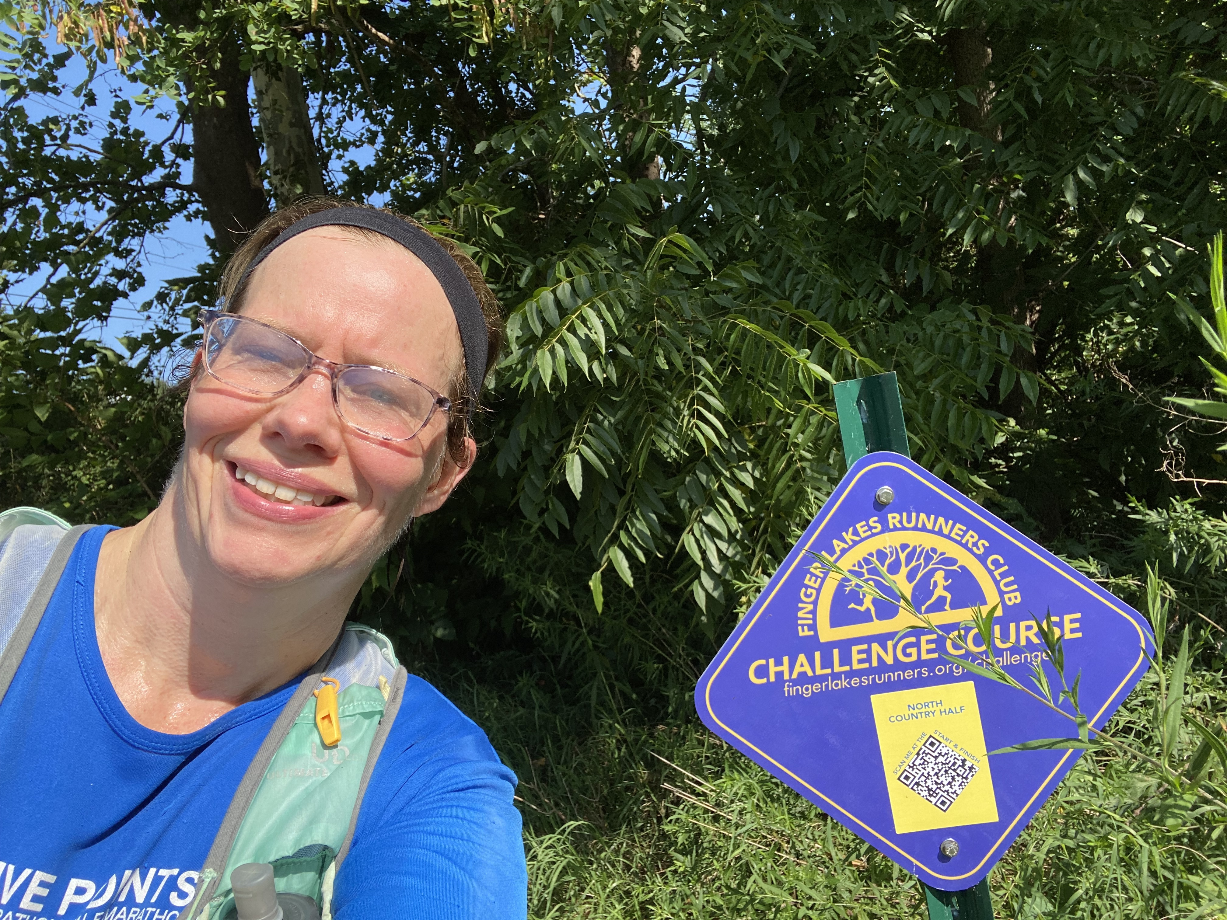
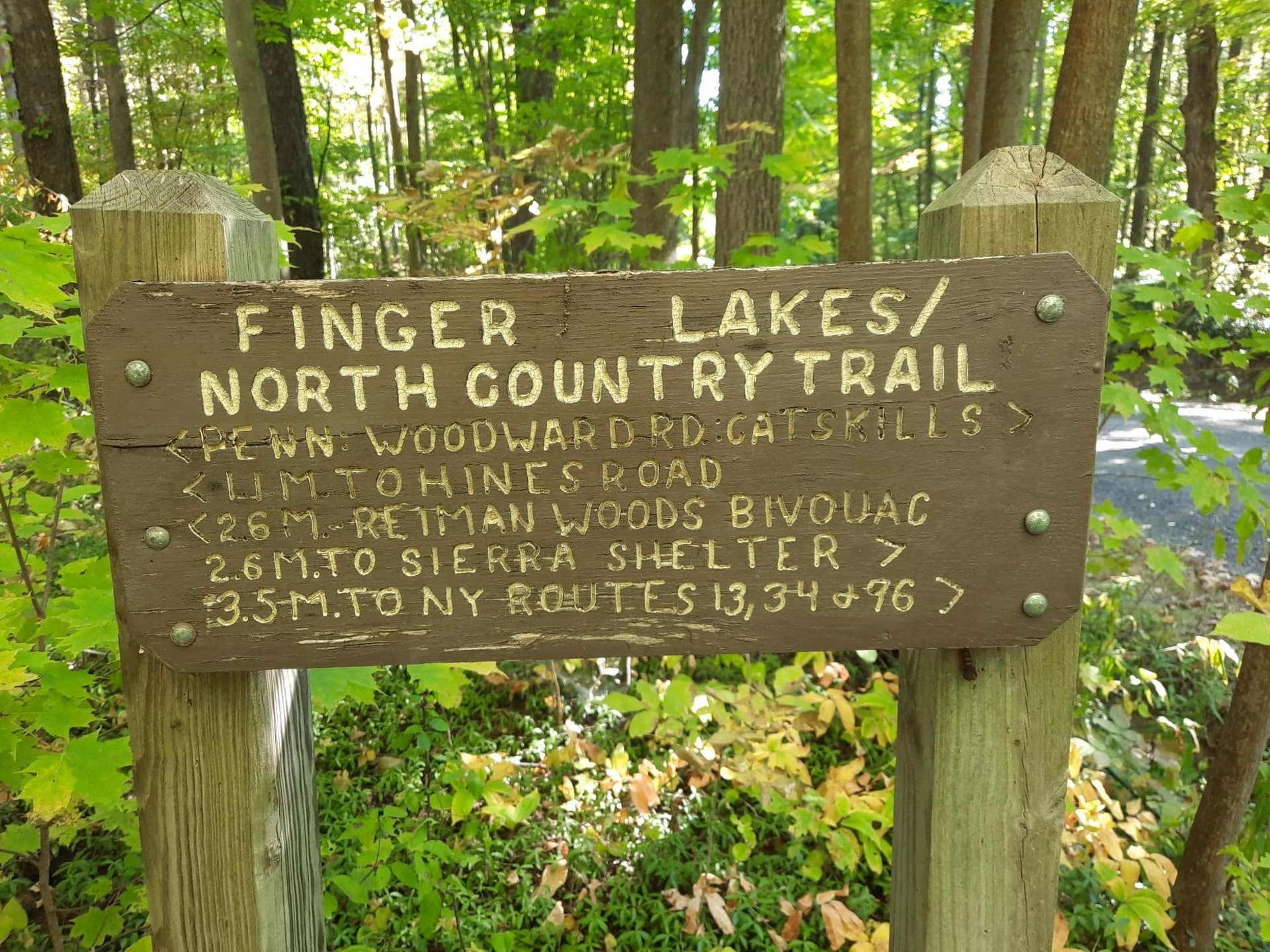
The portion of the trail just North of Hines road is a bit tricky to follow, overgrown, and muddy, We lost the trail both on the way ‘out’ and on the way ‘back’, and ended up bushwhacking through some tall grass. The fields just South of the Bock Harvey Preserve were also overgrown and muddy, which caused a bit of despair. It was a huge relief to get back on to the solid trail in the forest, and to reach the turnaround sign.

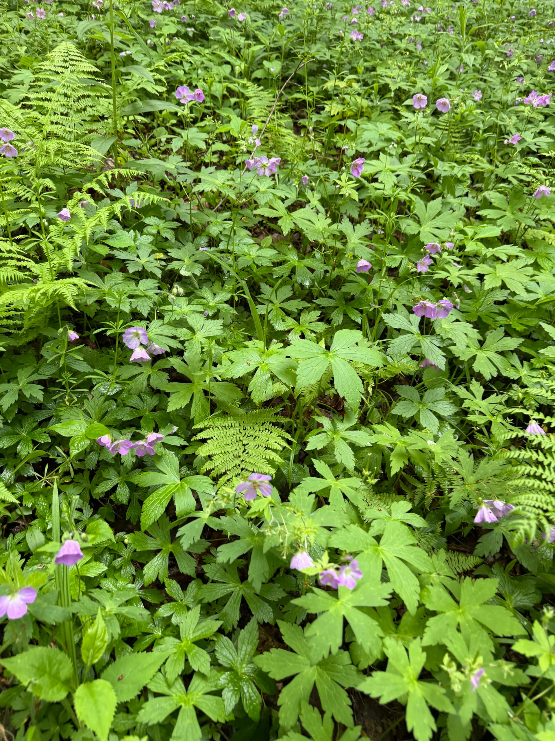
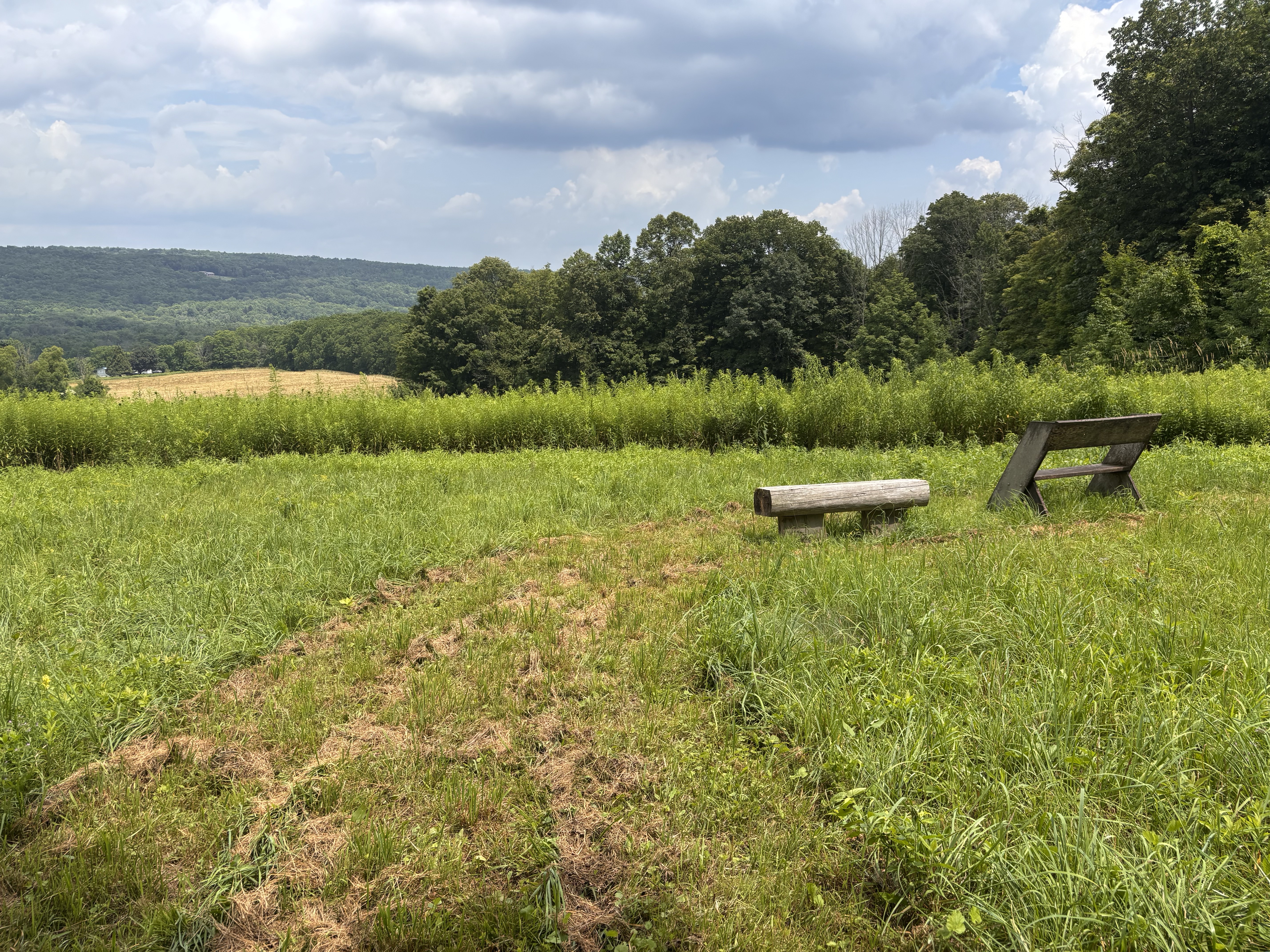
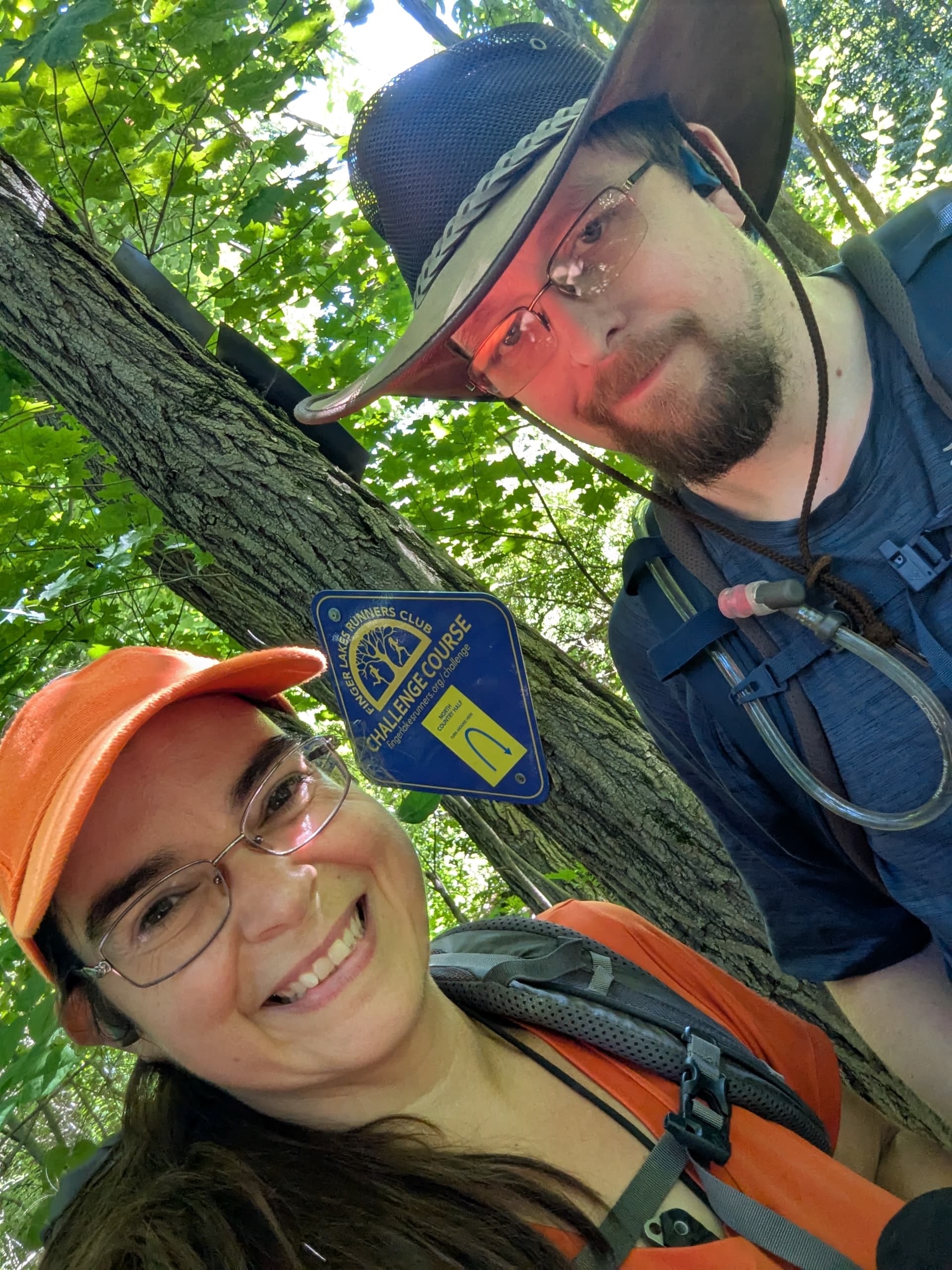
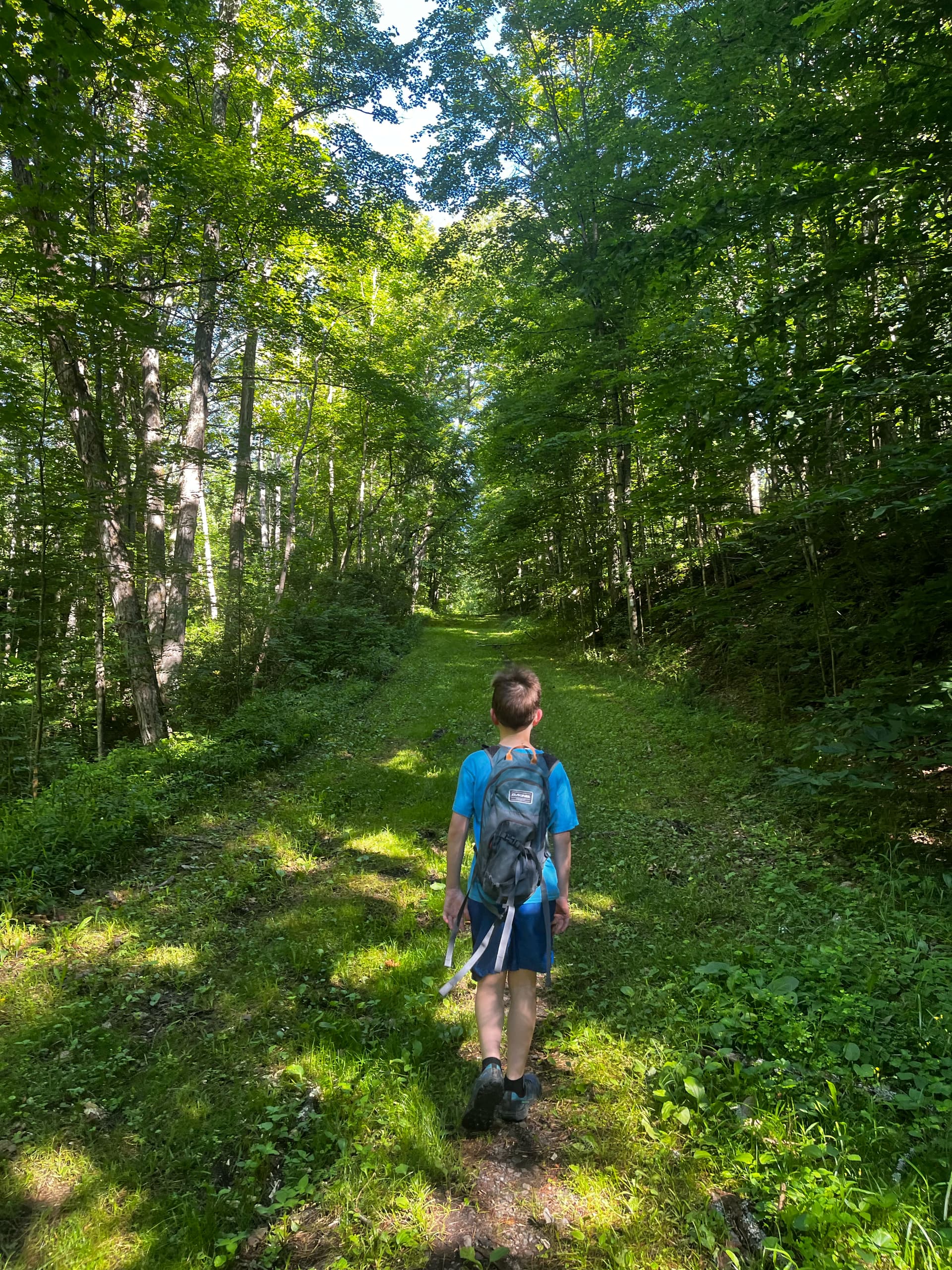
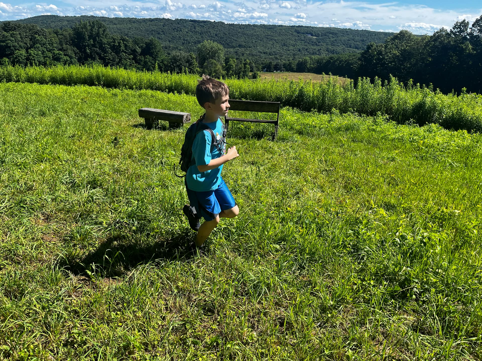
Simon stayed strong all the way back, and stuck faithfully to his jog-hike plan even though his legs and feet were getting tired and a bit sore. We enjoyed the long views from the lean-to.

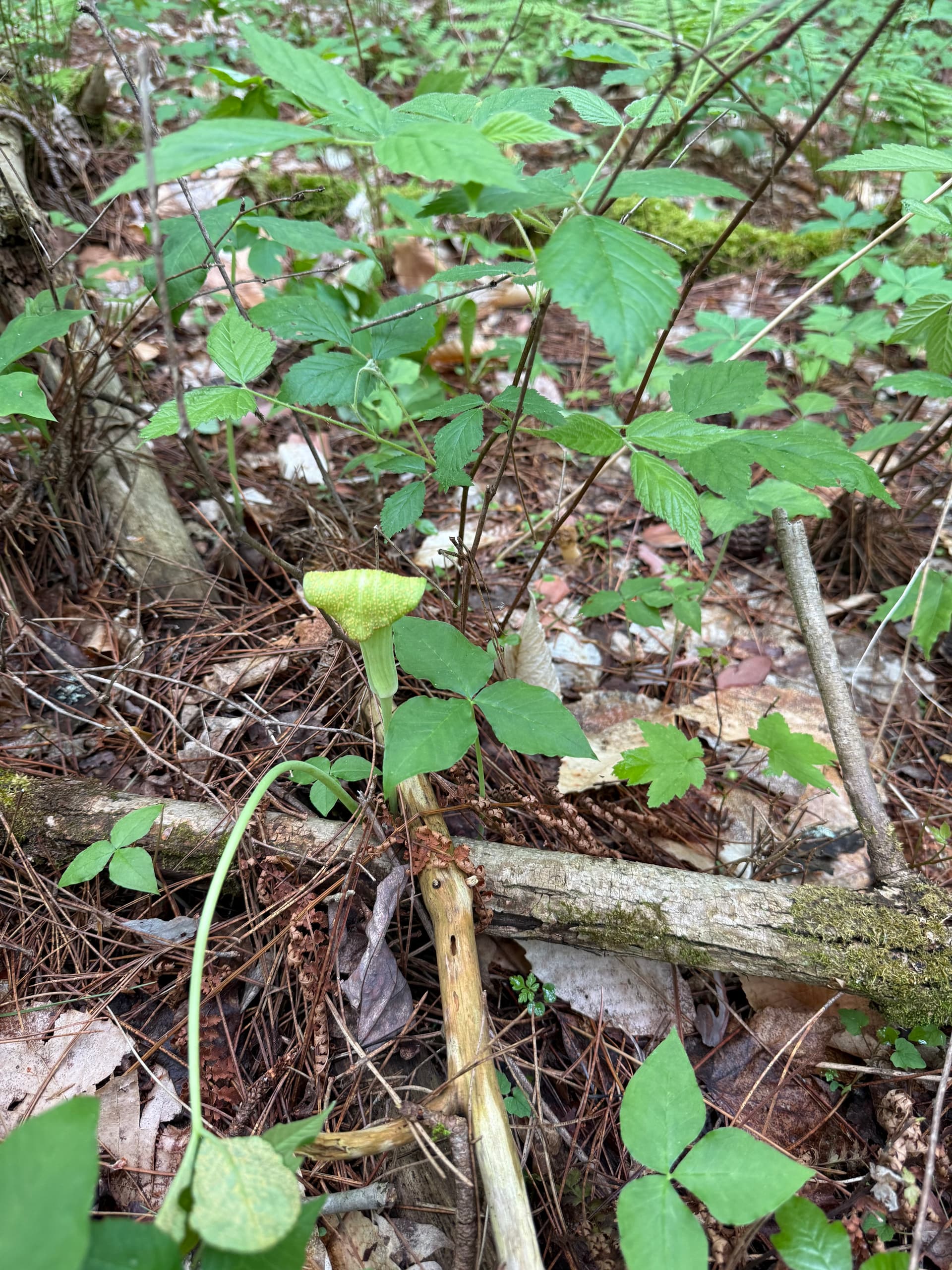
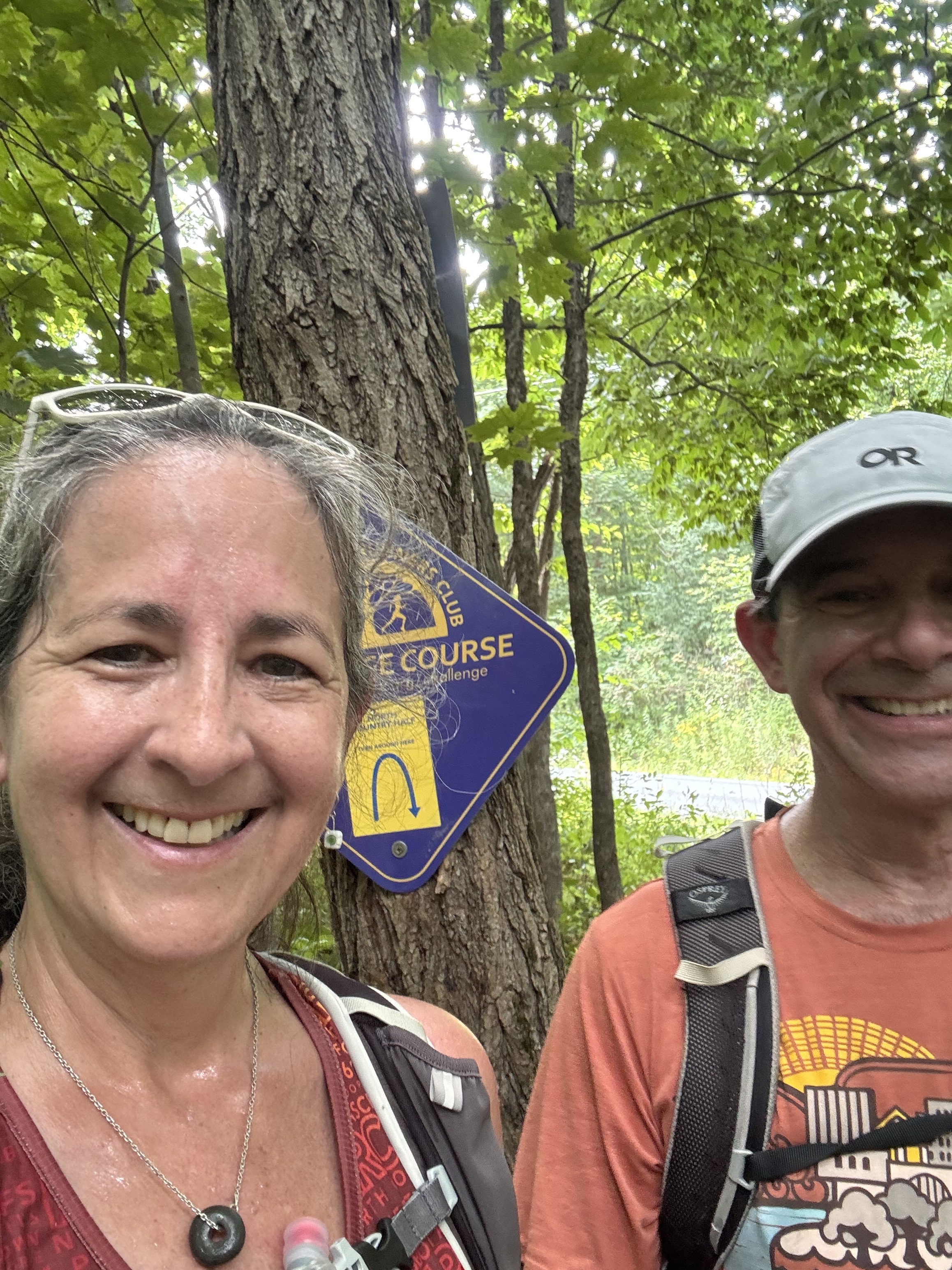
Here we are, having lost the trail again in the tall brambly vegetation North of Hines Road. 0/5 stars, not recommended

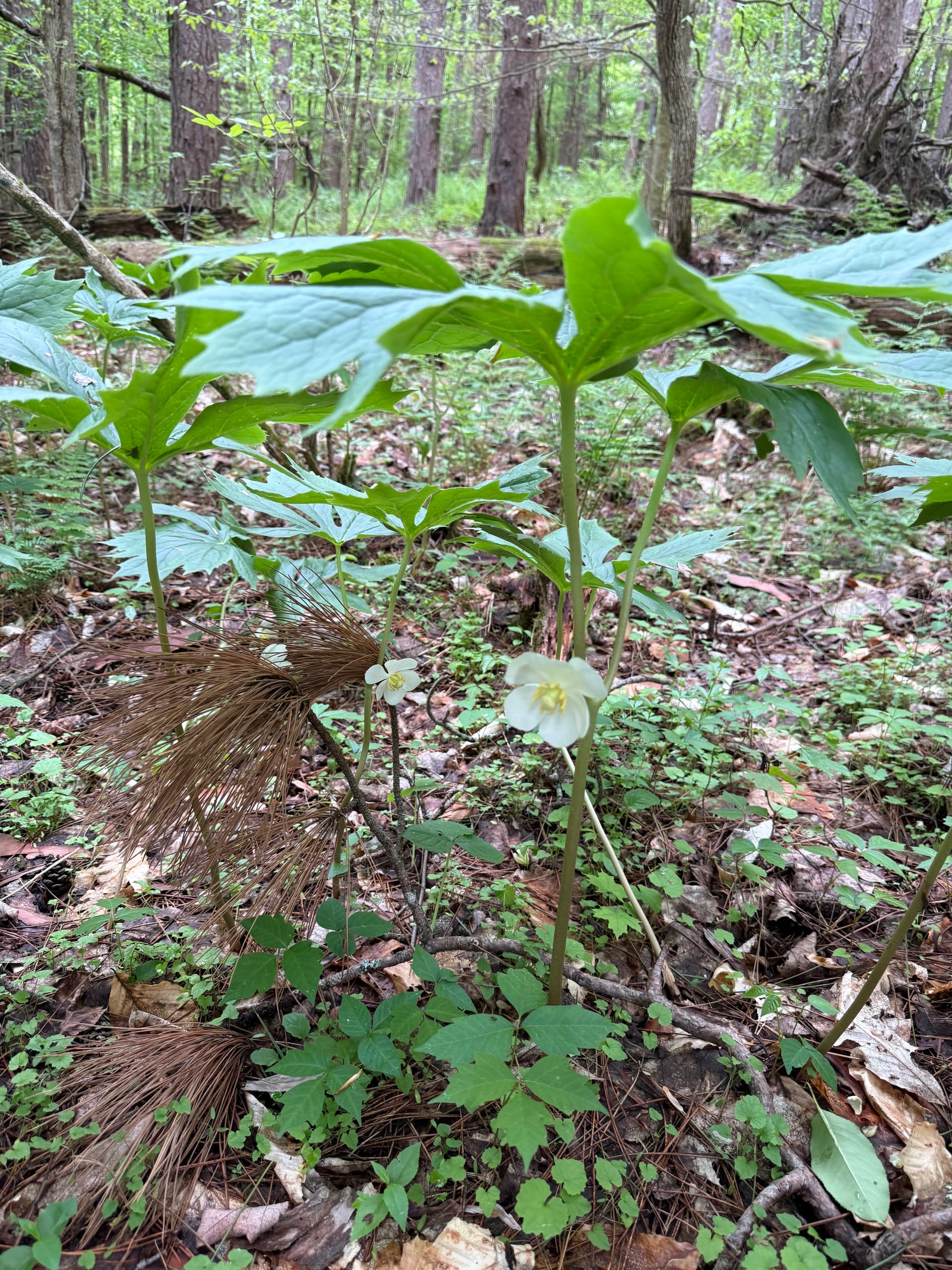
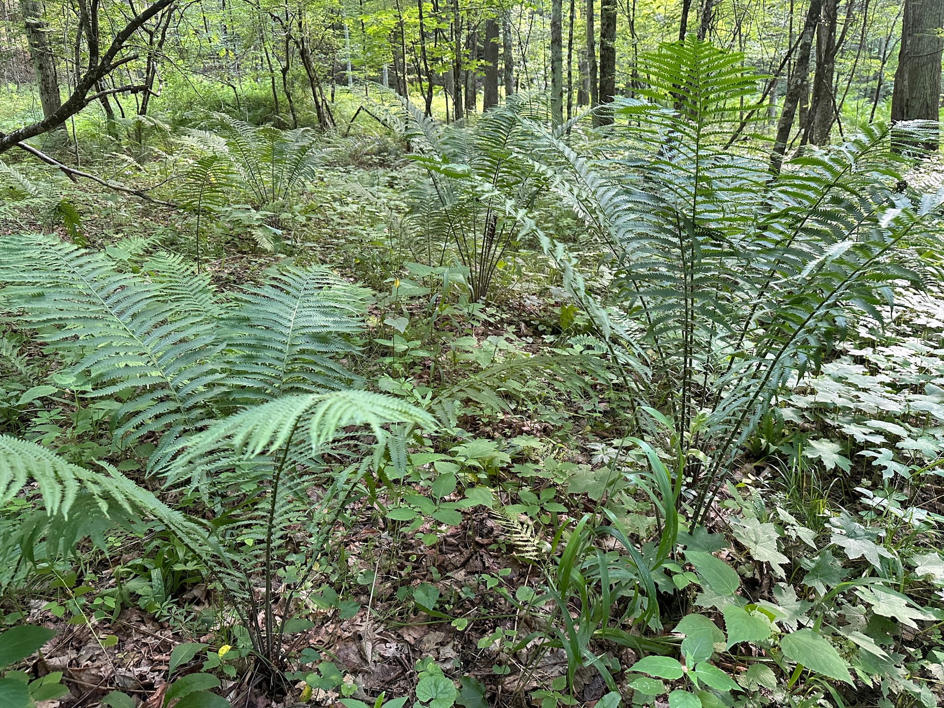
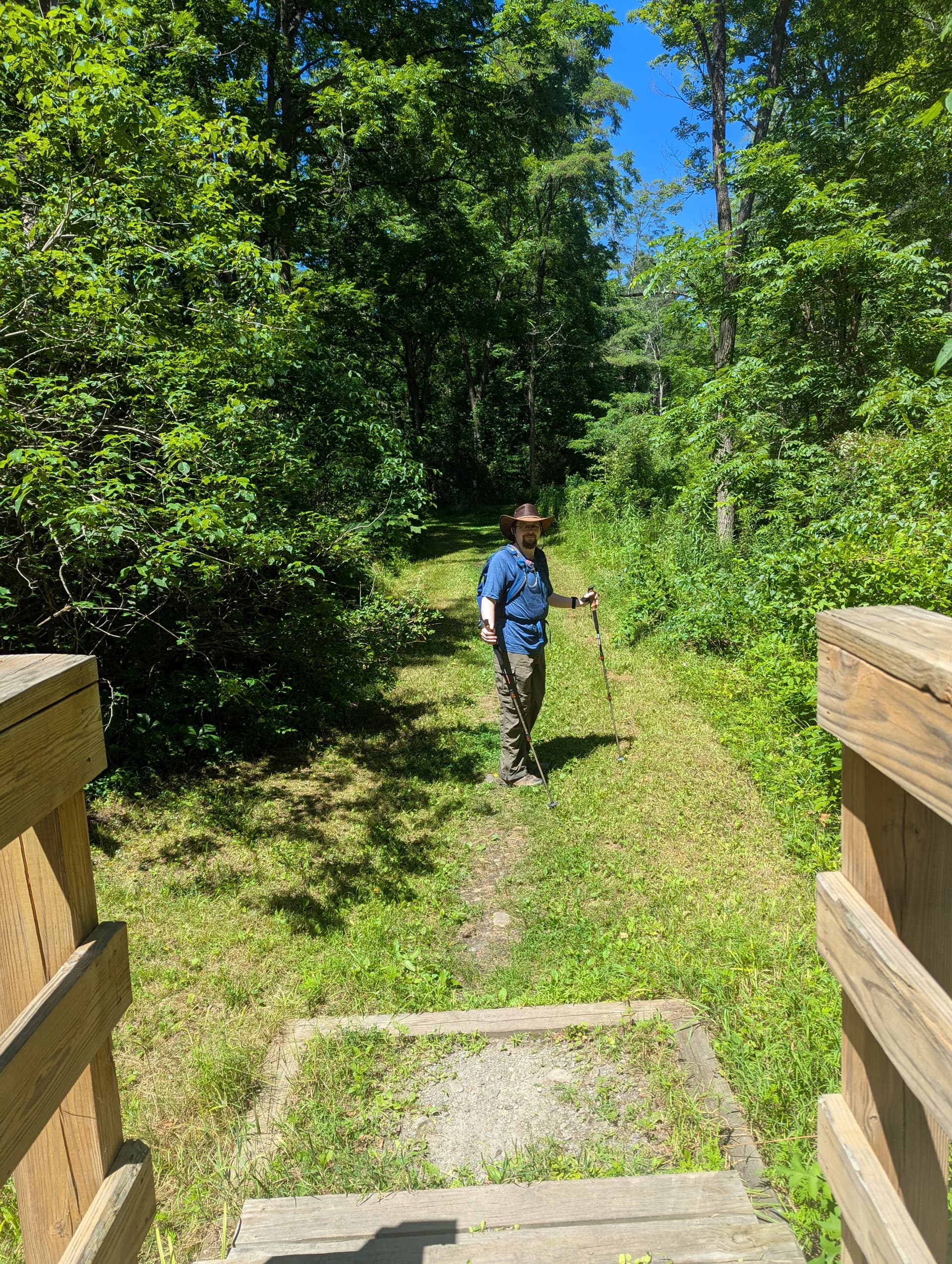
Even though the map said we were going back downhill, there sure is a lot of climbing to do to get back to the parking lot. Luckily the views are varied and spectacular.

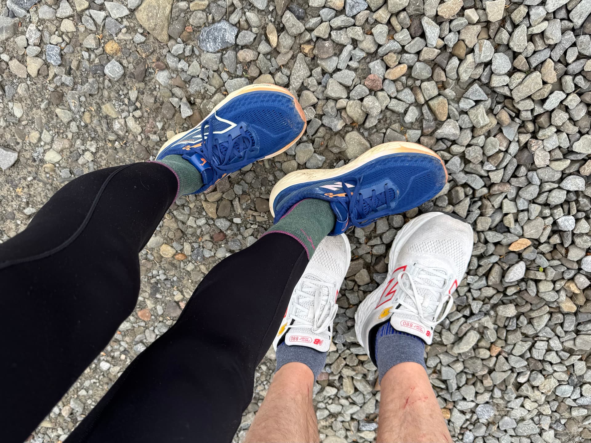
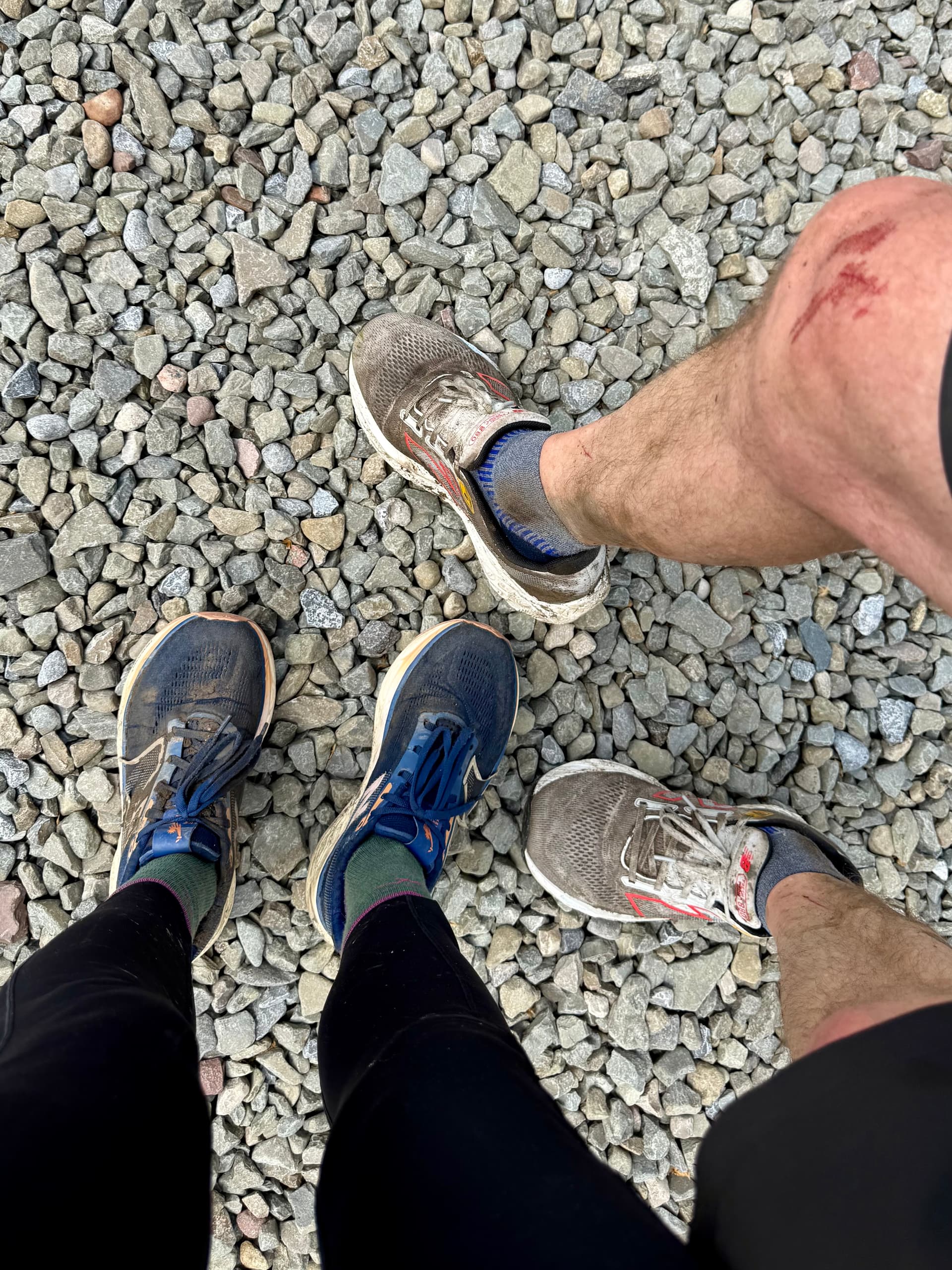
We enjoyed jogging (slowly) down the final slopes to our car. Simon had a fairly spectacular crash with about a half mile to go, but recovered quickly. We (I) had hoped to finish in under four hours, but we didn’t quite make it. No worries - Simon had a great attitude throughout, and this is his longest ‘run’ by a good bit. He is super happy to be finished with his Challenge, and is looking forward to next summer, when he’ll be TEN and will need to complete ALL the courses.

Thanks to the organizers and test-runners for another fun Challenge!

6 Likes